
A Guide to the Þjórsá River in Iceland
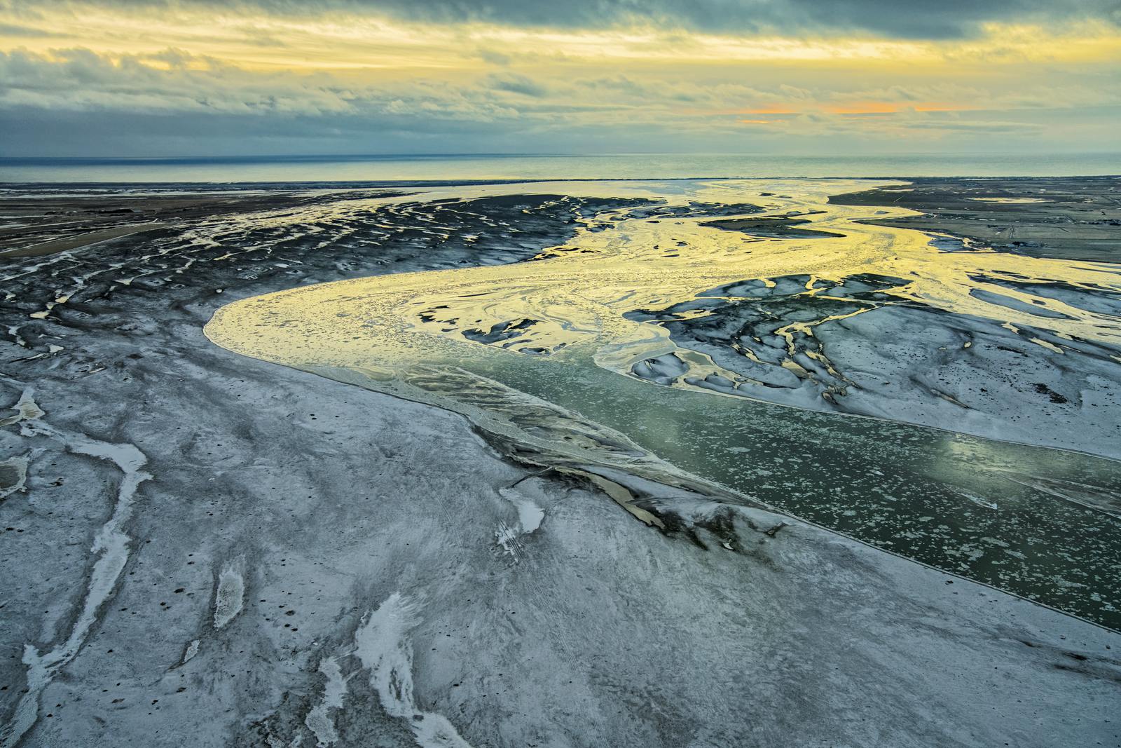
At approximately 140 miles (230 kilometers), Þjórsá is Iceland’s longest river. Fed by the Hofsjökull glacier in the Highlands, this powerful glacial waterway carves through the southern region of the island. It stands as a vital natural gem, sustaining salmon-rich fishing spots and even several beautiful hidden waterfalls.
Þjórsá and Its Formation
As a classic glacial river, the Þjórsá river is primarily fed by meltwater from the Hofsjökull glacier. Its path was determined roughly 8,600 years ago by the Great Þjórsá Lava. This was the largest volcanic flow in Iceland since the last Ice Age.
Today, the river tracks along the edge of this massive basalt field. As the water transports mineral-rich glacial silt from Hofsjökull, it naturally fertilizes the riverbanks. This nutrient-dense sediment, combined with the moisture-retaining nature of the porous lava, creates pockets of greenery along the riverbank. These lush areas stand out brilliantly against the sprawling volcanic landscapes of the Þjórsárdalur valley.
Beyond its geological history, the Þjórsá is a powerhouse of renewable energy. Due to its massive volume and steady glacial flow, the river supports Iceland’s green energy infrastructure. Several hydroelectric power stations, such as Búrfell, are tucked into the landscape along its upper reaches.
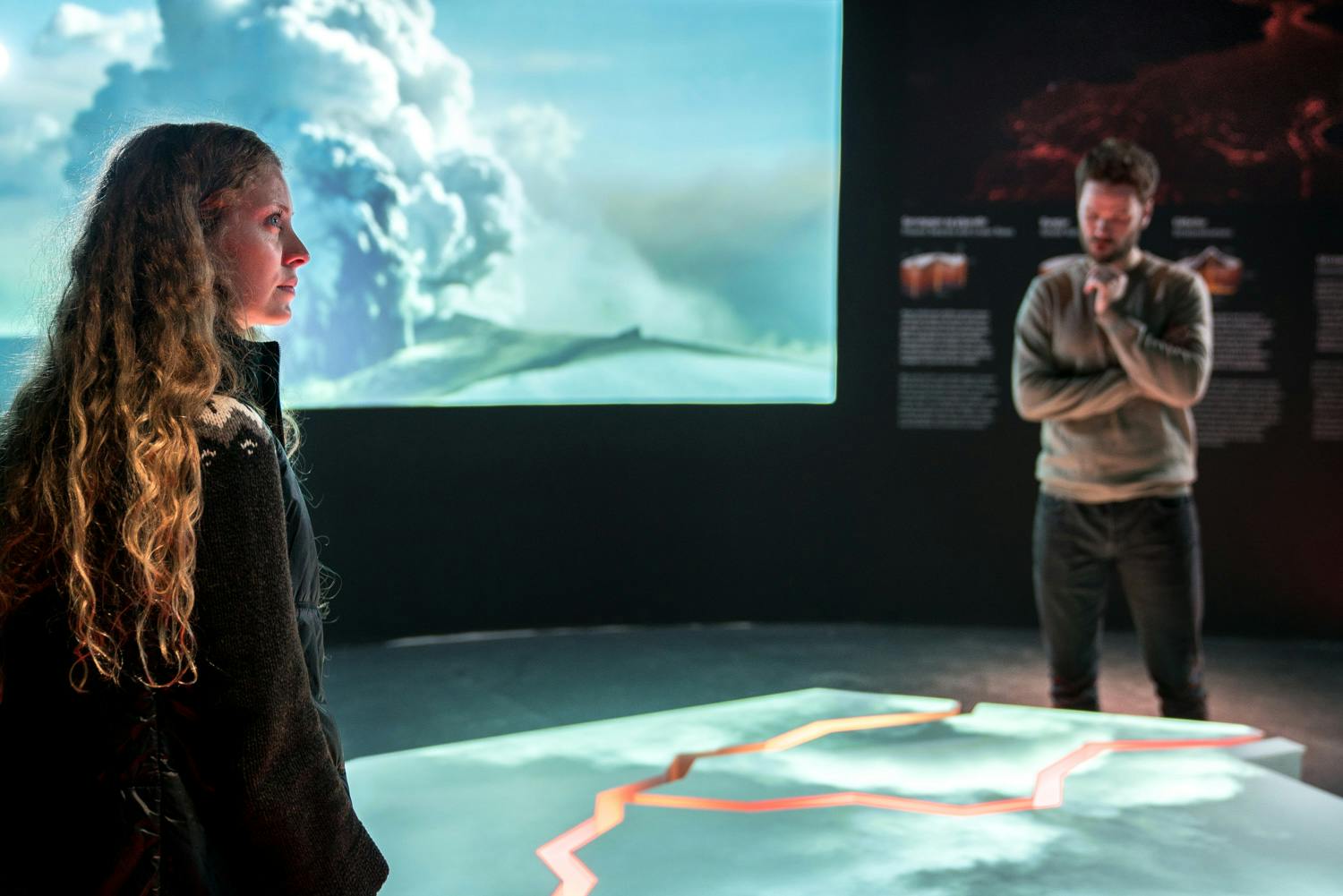
To learn more about the diversity and importance of freshwater in Iceland, head to Perlan in Reykjavík. The Water in Icelandic Nature exhibition offers an immersive look at how water makes, shapes, and sustains the island.
What to See Along the Þjórsá River
The Þjórsá river valley, known as Þjórsárdalur, is home to some of Iceland’s most distinct inland landmarks.
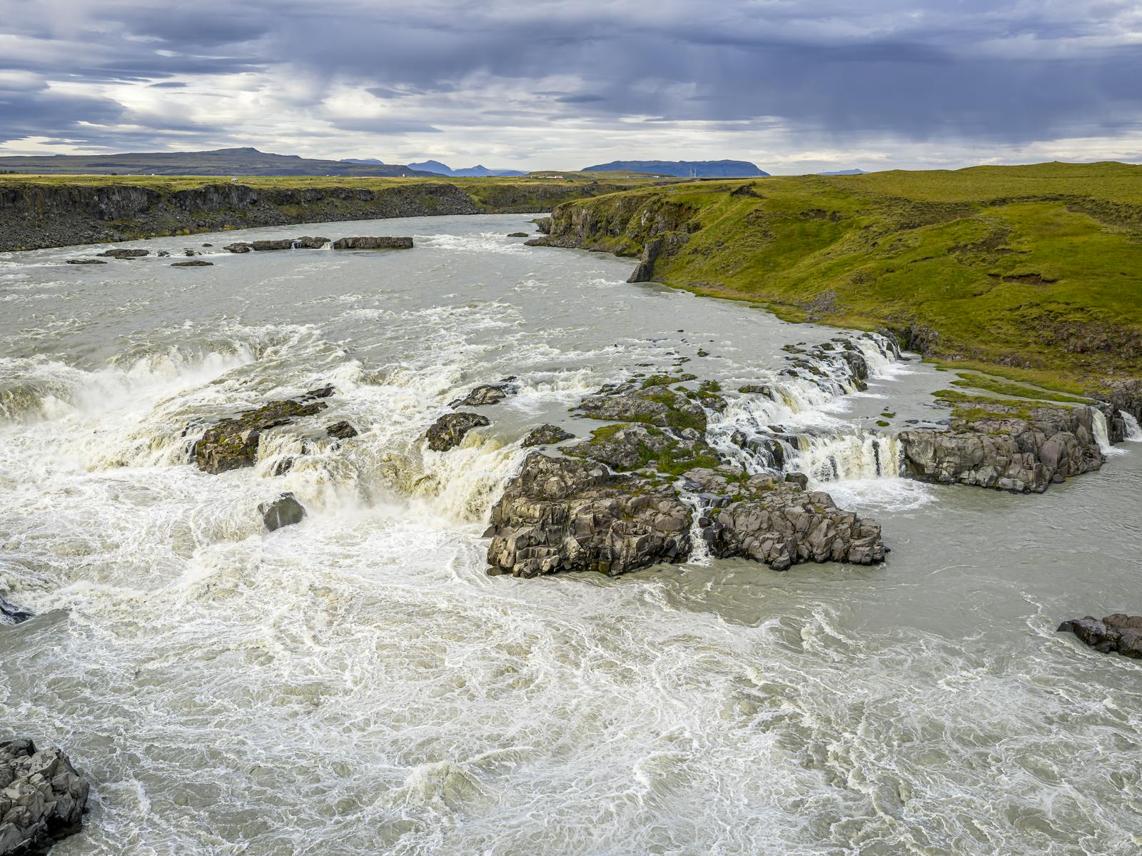
- Þjófafoss (Thieves' Falls): Located on the river's main stem, this wide waterfall is set against the backdrop of the cone-shaped Mount Búrfell. Its waters often take on a milky turquoise hue.
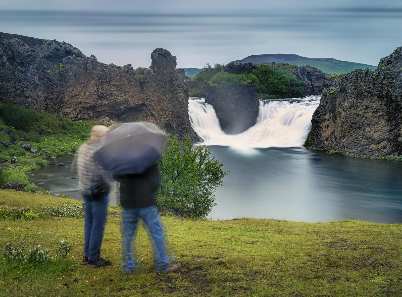
- Hjálparfoss: Two cascades meeting in a serene, turquoise lagoon. Hjálparfoss is surrounded by twisted basalt formations and a volcanic landscape that changes with the season.
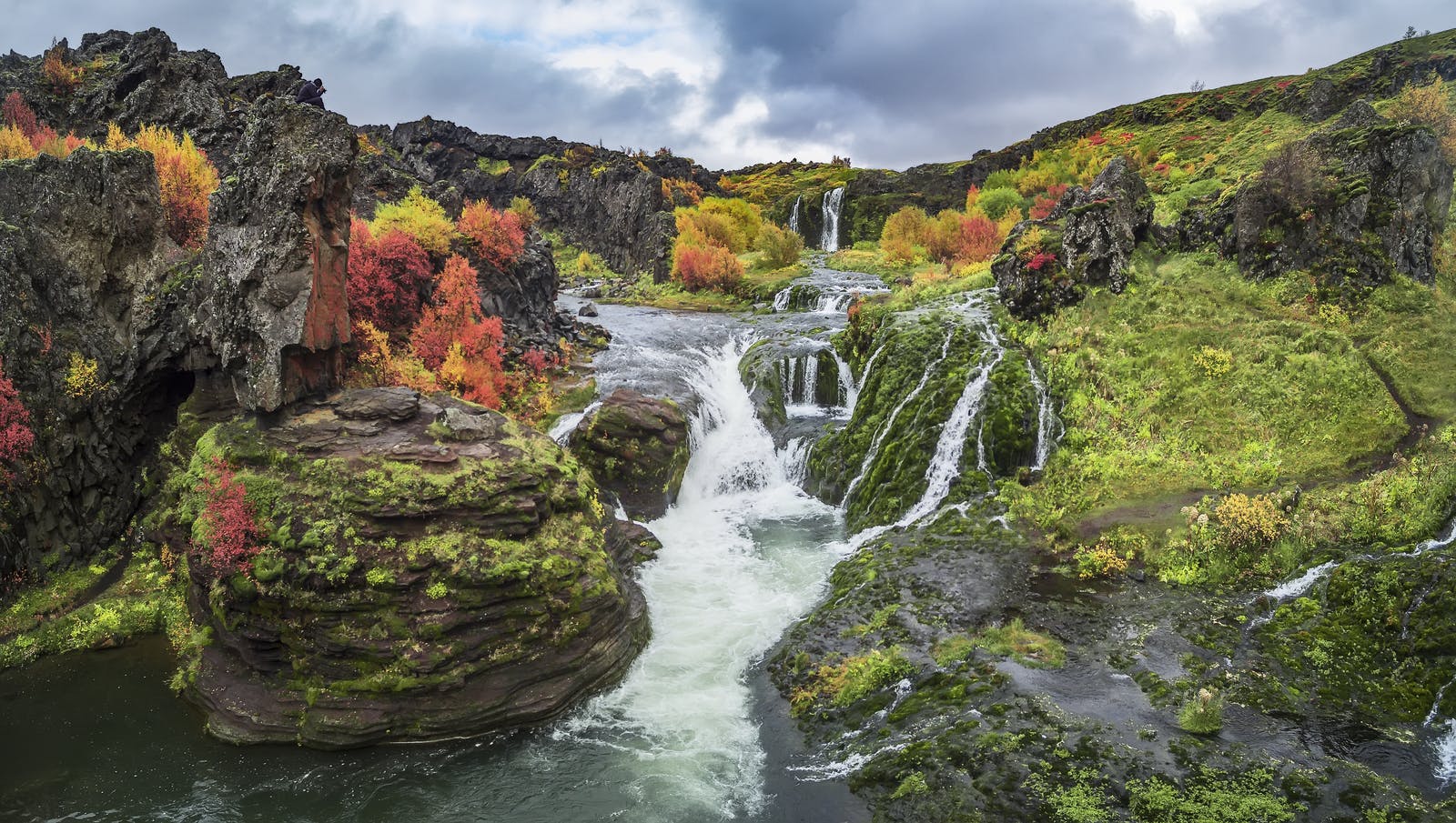
- Gjáin: A small, lush canyon often described as a fairyland. Home to running springs, trickling waterfalls, and greenery, Gjáin stands out from the stark volcanic landscape around it.
- Þjóðveldisbærinn Stöng: A reconstructed Viking-era farmstead. It’s a replica of the excavated farmhouse Stöng, which was buried in ash in the 1104 eruption of Mount Hekla.
How to Visit the Þjórsá River
Because of its length, there isn’t a single entrance to the Þjórsá river. However, the most rewarding way to experience it is by exploring the Þjórsárdalur valley via Route 32.
From Reykjavík, drive east on the Ring Road for about an hour. After passing through the town of Selfoss, turn left onto Route 30, then right onto Route 32. This paved road runs parallel to the river and provides access to the valley’s main highlights.
Most major sites along Route 32 are accessible with a standard 2WD vehicle during the summer. However, for more remote spots like Gjáin or Háifoss, a 4x4 is highly recommended due to the rough gravel tracks.
The Best Time to Visit
Summer (June–August) is the ideal time for the Þjórsárdalur valley. The roads are clear, the green areas are at their peak, and the Highland roads are open. Heavy winter snow frequently blocks gravel access roads, making the drive to the waterfalls dangerous. A 4x4 is essential for winter travel, and visitors should always check the road.is for real-time conditions.
Learn More About Icelandic Water at Perlan
The Þjórsá river is a real-life look at the intricate natural systems that make up the Icelandic landscape. For a deeper dive into these natural forces, a visit to Perlan is essential. The Water in Icelandic Nature exhibition is an interactive exploration of how glacial rivers have shaped the island over millennia. Meanwhile, the Forces in Nature exhibit demonstrates the immense power of Iceland's volcanoes, earthquakes, and geothermal energy.
FAQs About the Þjórsá River
How long is the Þjórsá River?
The Þjórsá river is approximately 140 miles (230 kilometers) long, making it the longest river in Iceland.
Can you fish in the Þjórsá?
Yes, the Þjórsá is one of the premier locations for Atlantic salmon fishing in the country.
Where is the Yellow River in Iceland?
There is no official "Yellow River." Photographers often use the term to describe rivers (like the Þjórsá) with high amounts of yellowish volcanic sediment or sulfur.
Where are the glacial rivers in Iceland?
Most glacial rivers originate in the Highlands, where the country’s largest ice caps are located. Large systems flow from Vatnajökull, Mýrdalsjökull, and Hofsjökull, moving toward the South Coast or through the northern canyons toward the sea.
What are the major rivers in Iceland?
Beyond the Þjórsá river, the Ölfusá is notable for having the highest water volume in the country. Other significant waterways include the Jökulsá á Fjöllum in the north and the Hvítá in the south.
Popular articles
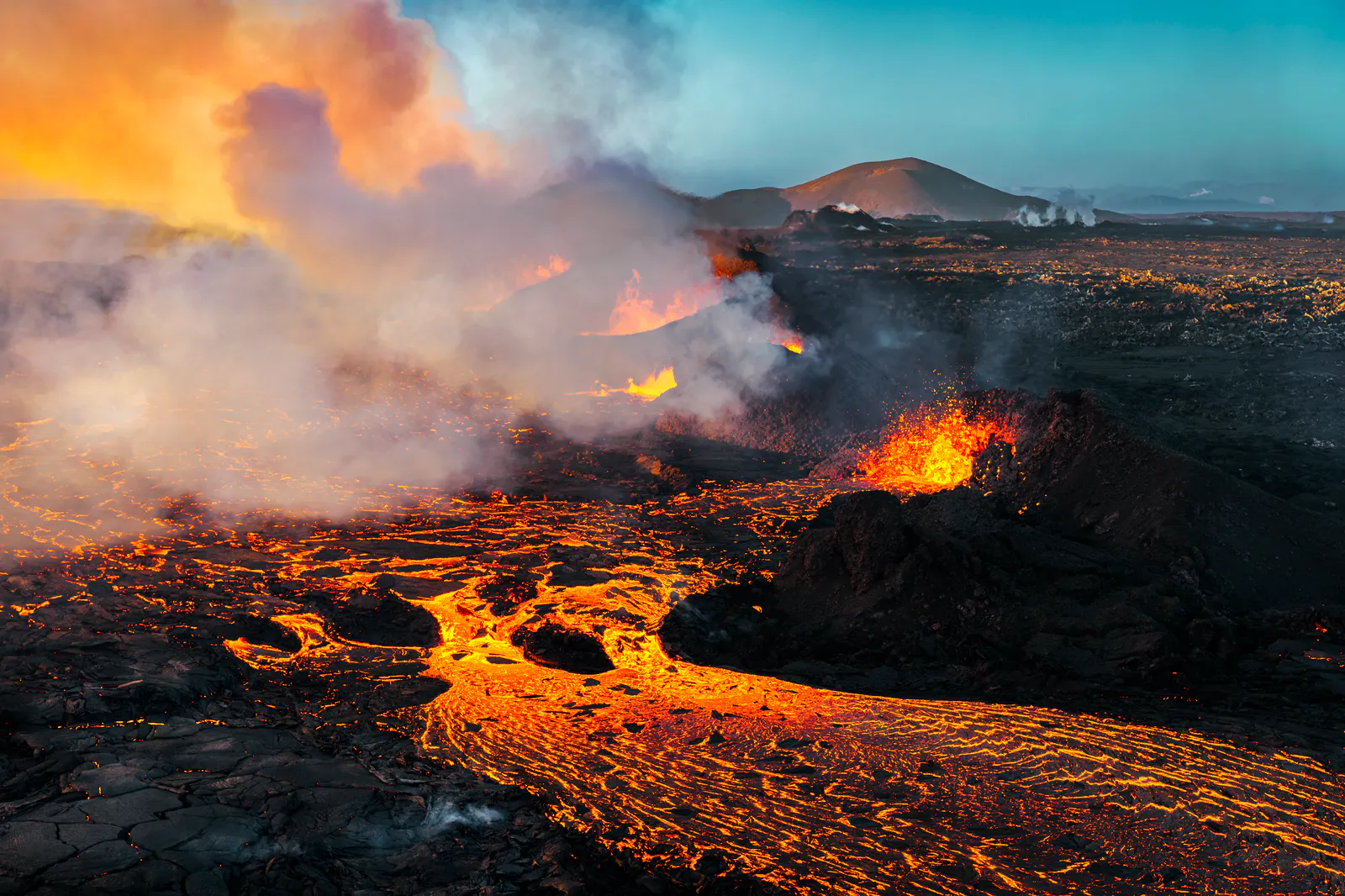
Let's Talk About the Volcano in Iceland About to Erupt
Is a volcano in Iceland about to erupt? Here’s what travelers should know about Svartsengi, Reykjanes activity, flights, safety, and the Blue Lagoon.
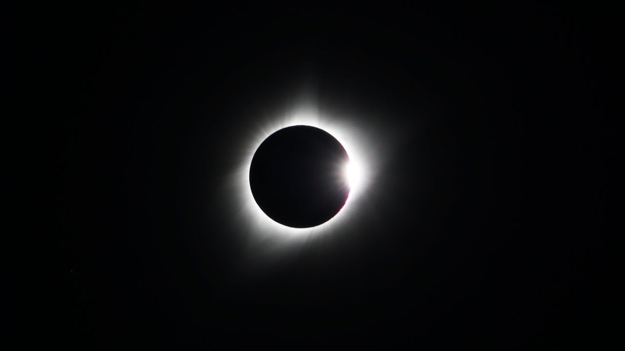
Guide to the Solar Eclipse 2026
Plan your trip to witness the Solar Eclipse 2026 in Iceland! Discover the best viewing spots, key times, safety tips, and travel advice for this rare celestial event.

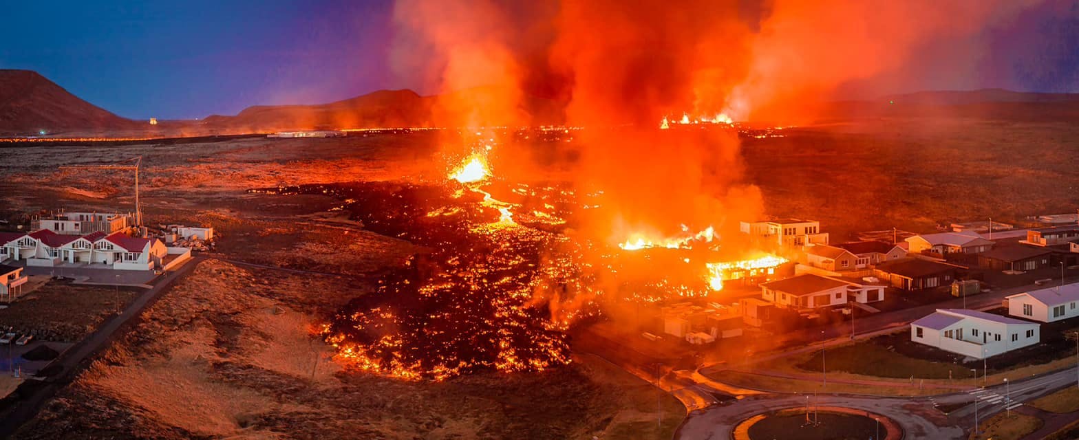
July 2026 updates on the Sundhnúkagígar Eruption in the Reykjanes Peninsula!
The current eruption in the Reykjanes Peninsula, is called Sundhnúkagígar Crater Row. See insights on the seismic activity and volcanic eruptions in the area!
Active Volcanoes in Iceland 2026
Active volcanoes aren't the same thing as active eruptions. A volcano can be considered active even when it is not ejecting ash, rock, gases and magma, so which are active in Iceland in 2026?

Top 10 Places To See the Northern Lights in Iceland
You can see the northern lights across the country, but some spots are more suitable than others. Find the best place to see the northern lights in Iceland.

Ice Caves From Reykjavik
Travel beyond the capital for a closer look at an ice cave under one of Iceland’s glaciers. If you can’t spare the time, experience Perlan’s ice cave in Reykjavik.