
Guide to Mount Hekla Volcano
Over the centuries, Hekla has been Iceland's most famous volcano, and in the Middle Ages European scholars thought that constant eruptions were going on there. They also believed that the mountain was much larger than Etna and Vesuvius. This was a misunderstanding. Hekla is still Iceland's most famous volcano, although it is neither the largest nor the most active one .Hekla should not be confused with nearby Eyjafjallajökull, which wreaked havoc on transatlantic air travel in 2010.
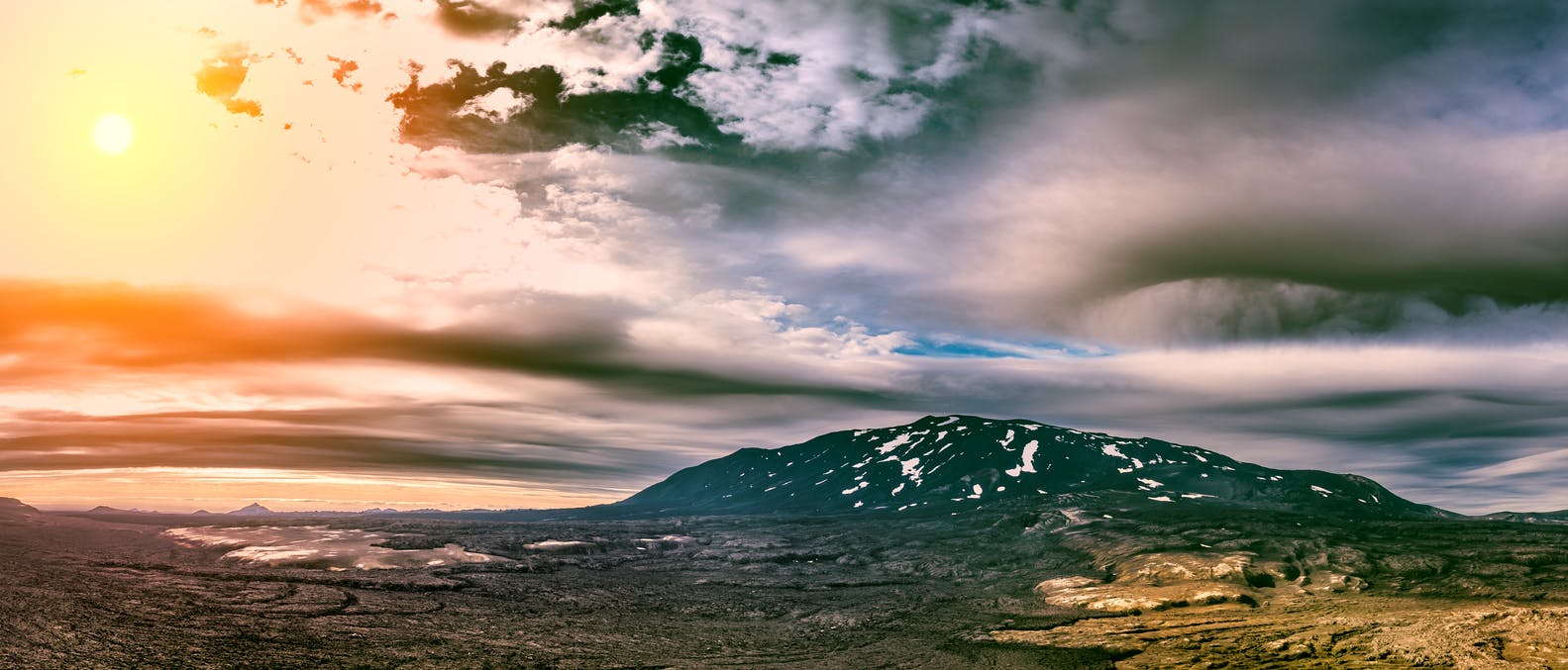
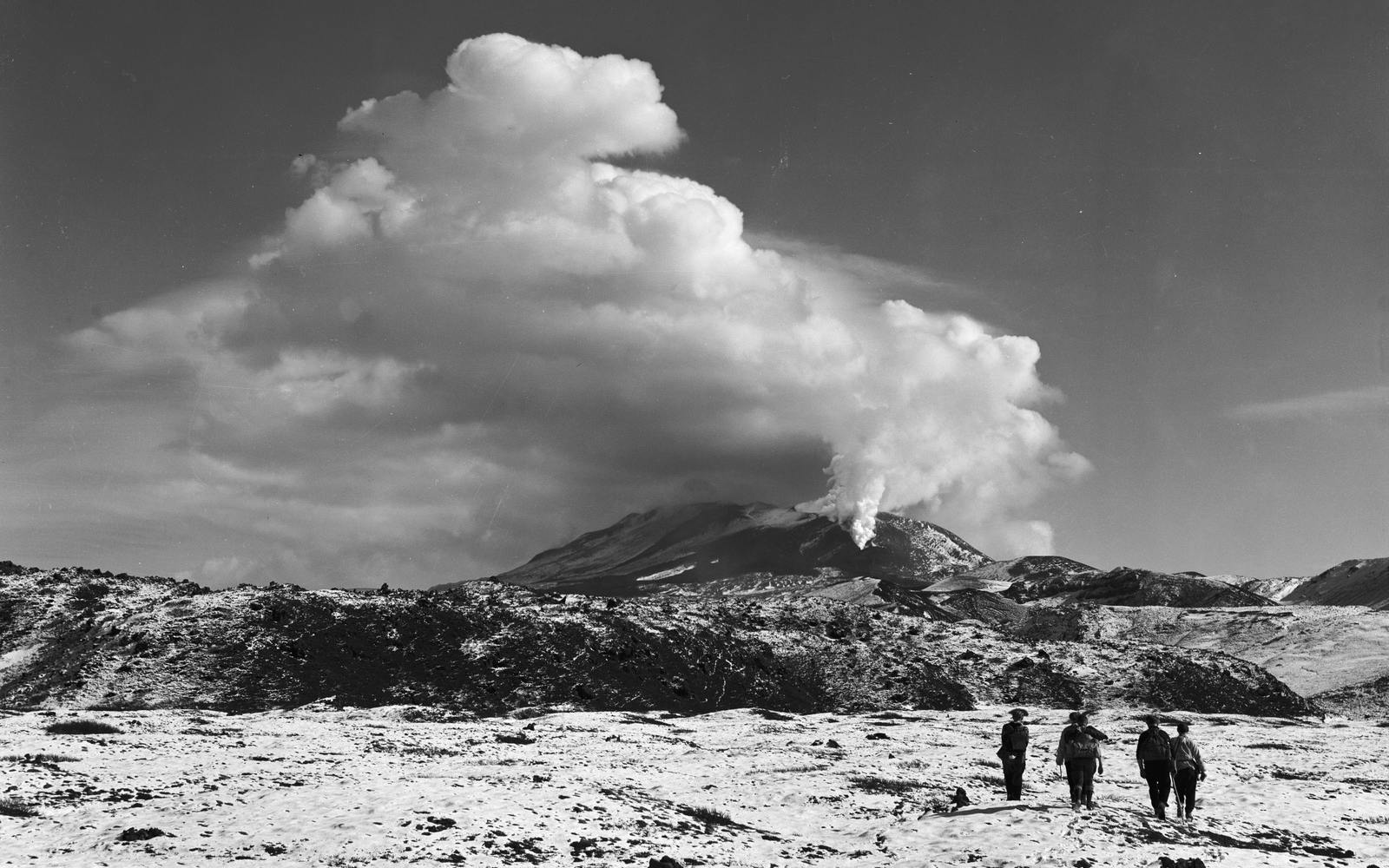
Climbing 1,491 meters (4,891 ft), Hekla has erupted five times in the last hundred years and 18 times since Iceland was settled in the 9th century. Its last significant eruption was in 2000, and with all volcanoes, local scientists consistently monitor Hekla.
What type of volcano is Hekla?
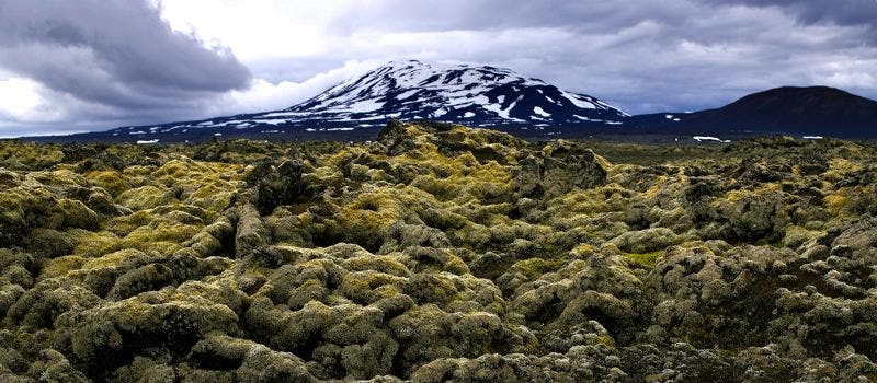
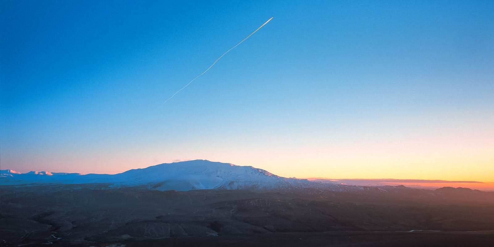
Hekla is an elongated central volcano in the south of Iceland, scaling 1491 m. (4,892 ft.) Hekla is part of a volcanic ridge that stretches 40 km. (25 miles) long. The volcano’s frequent significant eruptions have resulted in tremendous fallout, covering much of Iceland with tephra. Indeed, these tephra layers can be used to date eruptions of Iceland’s other volcanoes. When not erupting, Hekla is often covered with snow and has small glaciers in the upper slopes.
Where can I learn about Hekla?
The Hekla Center in Central South Iceland comprehensively looks at one of the island’s most active volcanoes. The exhibition emphasizes the influence of the volcano on the inhabited areas close to it, including Landsveit, Holt, and Rangárvellir. The centre has unique educational materials for children as well as tourist information in English.
When has Hekla erupted throughout history?
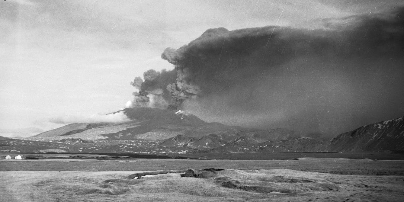
The earliest recorded eruption of Hekla took place in the year 1104. It has erupted 18 times since the age of the settlement, the most long lasting eruption occurred 1766-1768 and lasted for 25 months. Scientists have found a general correlation that the longer Hekla remains dormant, the larger and more catastrophic its next eruption will be. Hekla’s most recent eruption was in February 2000. See all eruptions of Hekla.
How to get to Mount Hekla
By car from Reykjavík, head southeast on Route 1. After passing Selfoss and the Þjórsá river take Route 26 toward the Hekla Center. There is parking by the trailhead. The journey from Reykjavík is 110km (69 miles), which takes about 2 hours. On clear days, you can see Hekla looming over the southern part of Iceland. If you follow the Golden Circle route, you won’t miss it.
Please note that the staff at the Hekla Center can best guide you on how to get to Hekla. From the Center, it’s about a 16 km (10 mile) drive to the volcano. It’s recommended to rent a 4WD vehicle since there are many steep slopes and gravel roads along the way.
Is Hekla volcano active?
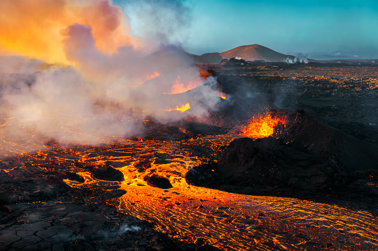
Hekla is one of Iceland’s most active volcanoes. More than 20 eruptions have occurred in and around the volcano since 874. During the Middle Ages, the Norse called the volcano the “Gateway to Hell.”
Can you hike Mount Hekla?
Scaling Hekla should not be taken lightly. In four hours or so, you can reach the summit via a moderately challenging 6.5 km (4 mile) trail. Along the way, you cross rough lava fields and will see ice and snow as the peak gets closer. At the top, the view is jaw-dropping. On clear days, you can see the Fjallabak mountains up to Vatnajökull glacier, Europe’s largest glacier.
Now for some crucial safety tips. The ideal time to do the climb is in the summer, when it’s not likely that you’ll encounter a lot of snow at the top. Regardless of when you decide to climb, if you intend to get to the top, you will need glacier equipment. Guides on tours will provide all necessary equipment. Hekla is an active volcano, so check with locals and consult www.safetravel.is before heading out on a hike.
From Katla to Hekla, many of Iceland’s iconic peaks are still considered active. See a full overview of every Iceland active volcano here.
What attractions are close to Hekla?
Háifoss
Háifoss in Þjórsárdalur Valley is a beautiful waterfall near Hekla that drops from a height of 122 metres (400 ft), making it the second-highest waterfall on the island. Set against the backdrop of the Þjórsá River, Háifoss is a beautiful place to stop and take photos.
Hjálparfoss
Hjálparfoss in Þjórsárdalur Valley is another gorgeous waterfall near Hekla, and while not particularly tall, the waterfall is unique as it’s where the Þórsa and Fossa rivers meet, and the falls are split in two. It is about 30 km (19 miles) east of the village of Flúðir.
Stöng
Stöng in Þjórsárdalur Valley is a settlement-era farm that was completely buried by tephra during Hekla’s eruption in the year 1104. The farm, as legend tells it, was the residence of Gaukur á Stöng, a hero in a lost Icelandic saga, Þjórsdæla saga. A reconstructed 11th-century longhouse called Þjóðveldisbær was erected in this protected valley, and for those looking to see a traditional “turf house” with grass on the roof, this is the place to go.
Learn more about Volcanoes in Iceland
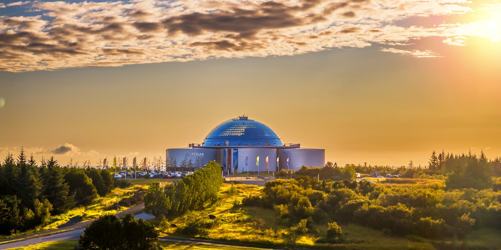
Unleash your inner adventurer and immerse yourself in the primal forces that have shaped our planet at the Forces of Nature exhibition in Perlan, Reykjavik.Witness the fury of volcanoes with eruptions that you can almost touch, listen to the earth's rumblings as you feel the ground shake beneath your feet during an earthquake simulation, and uncover the mysteries of geothermal energy in an interactive and educational setting.
FAQ
What would happen if Hekla erupted?
The result of a Hekla eruption would depend on its size. There would likely be earthquakes before the eruption, and warnings would be issued by authorities. Tours to the region would be cancelled, and roads to the area would be closed if warranted. Geologists are constantly monitoring the volcanoes on the island, and procedures are in place to keep people safe in the event of an eruption.
Is Mount Hekla still active?
Hekla is an active volcano, and its most recent eruption was in February 2000. Before 2000, the most recent eruption was in 1991.
Is Hekla safe to visit?
Hekla is safe to visit as long as there aren’t warnings in place. While Hekla is an active volcano, it is currently dormant. If you are planning to hike in the area, be sure to check www.safetravel.is before heading out.
How many people died in the 2000 Hekla eruption?
There were no deaths in the 2000 eruption of Hekla. It started on 26 February 2000 and lasted until 8 March. It was a VEI-3 eruption producing a lava volume of 0.189 km3 and small amount of tephra. Only one fatal accident has been documented in Hekla eruptions during the last 500 years.
Popular articles
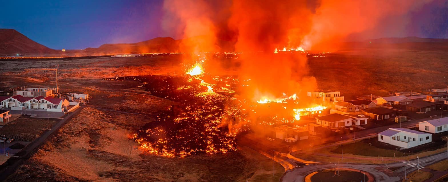
Let's Talk About the Volcano in Iceland About to Erupt
Is a volcano in Iceland about to erupt? Here’s what travelers should know about Svartsengi, Reykjanes activity, flights, safety, and the Blue Lagoon.
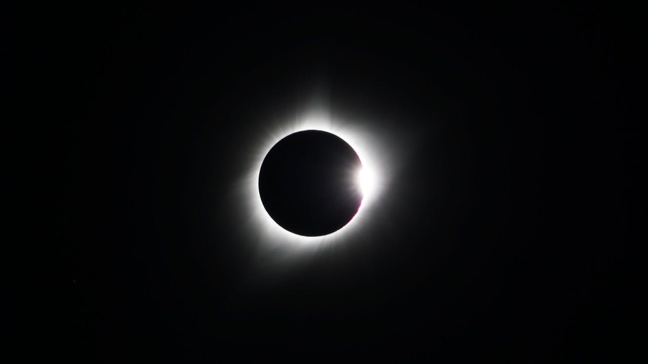
Guide to the Solar Eclipse 2026
Plan your trip to witness the Solar Eclipse 2026 in Iceland! Discover the best viewing spots, key times, safety tips, and travel advice for this rare celestial event.

July 2026 updates on the Sundhnúkagígar Eruption in the Reykjanes Peninsula!
The current eruption in the Reykjanes Peninsula, is called Sundhnúkagígar Crater Row. See insights on the seismic activity and volcanic eruptions in the area!
Active Volcanoes in Iceland 2026
Active volcanoes aren't the same thing as active eruptions. A volcano can be considered active even when it is not ejecting ash, rock, gases and magma, so which are active in Iceland in 2026?

Top 10 Places To See the Northern Lights in Iceland
You can see the northern lights across the country, but some spots are more suitable than others. Find the best place to see the northern lights in Iceland.

Ice Caves From Reykjavik
Travel beyond the capital for a closer look at an ice cave under one of Iceland’s glaciers. If you can’t spare the time, experience Perlan’s ice cave in Reykjavik.