
Guide to Búrfell Mountain
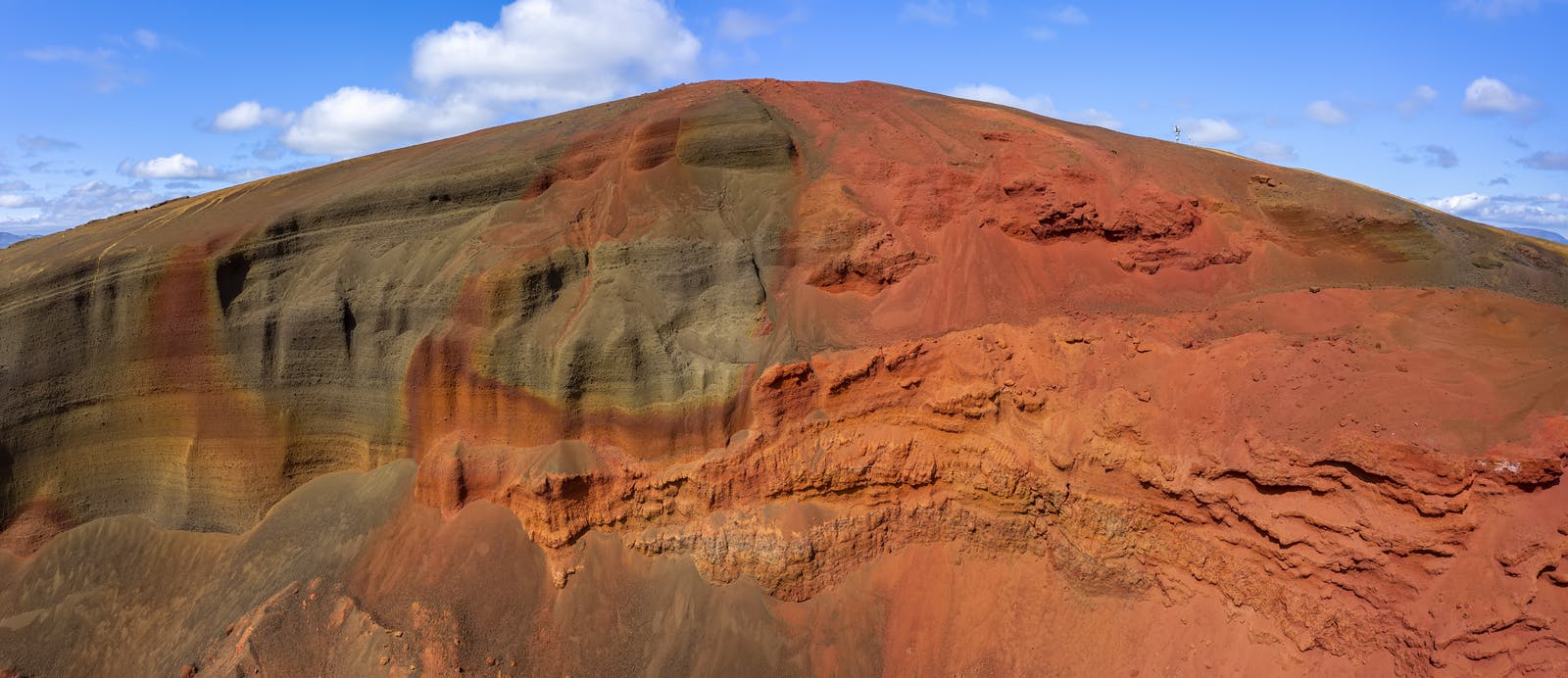
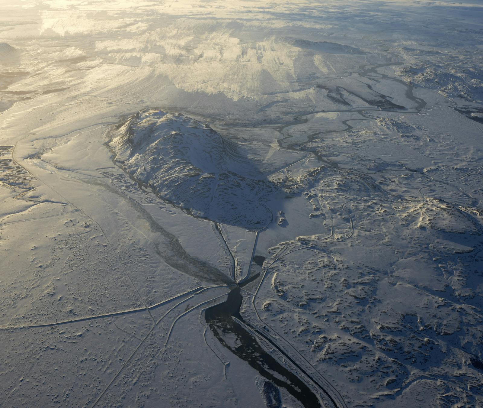
Búrfell is a flat-topped mountain located in south Iceland, on the edge of the beautiful Þjórsárdalur valley. It’s not to be confused with other Icelandic places named Búrfell; this one is the largest and perhaps the most visually impressive. Standing over 600 metres high, it has a table-like shape, the result of ancient eruptions beneath thick glaciers during the last Ice Age.
Its volcanic history and unique form make Búrfell a fascinating destination for travellers curious about Iceland's geology. Though it’s not an active volcano today, its location, close to volcanic zones and historical eruptions, adds to the drama of the landscape.
Where Is Búrfell?
Búrfell is situated about 125 kilometres east of Reykjavík. The drive takes roughly two hours and leads you through varied terrain, from flat farmlands to winding mountain roads. It’s located just west of Hekla, one of Iceland’s most active volcanoes, and near historical sites like Stöng, a reconstructed medieval farm.
To reach Búrfell, you follow Route 32 into the Þjórsárdalur valley. The area is generally accessible from late spring to early autumn, depending on weather and road conditions. In winter, snow and ice can make travel difficult, especially in higher areas.
While Búrfell itself isn’t very tall compared to other mountains in Iceland, its steep sides and flat summit make it visually distinct. It feels like a monument surrounded by nature.
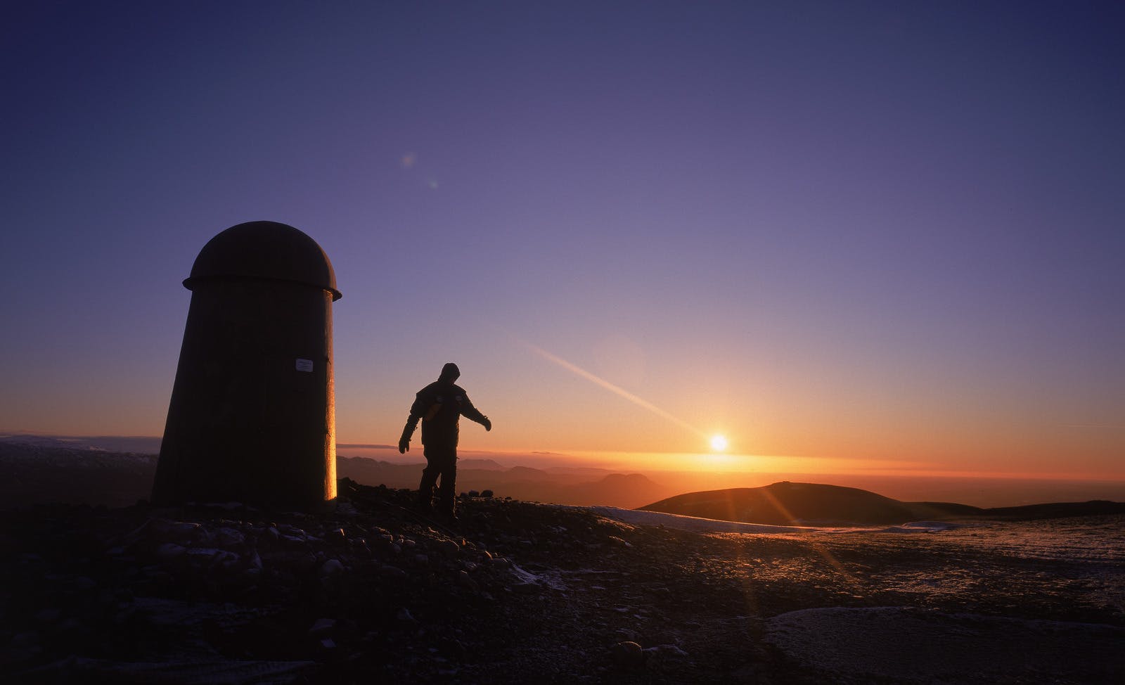
Hiking Búrfell and Exploring the Area
From the summit, the views are expansive and unforgettable; you’ll see the Þjórsárdalur valley stretch out below, the mighty Þjórsá River winding through the plains, Hekla volcano towering in the east and, on clear days, even the ice caps in the distance.
The surrounding area is also rich with natural and historical interest. Þjórsárdalur valley is home to waterfalls, lava fields, and the ruins of farms destroyed in past eruptions. Háifoss, one of Iceland’s tallest waterfalls, is a short drive away and well worth a visit.
One of the most fascinating aspects of this region is how natural beauty and Iceland’s efforts toward sustainability meet, especially around Búrfell.
Búrfell and Iceland’s Energy Story
Búrfell plays a significant role in Iceland’s energy production. At the foot of the mountain lies the Búrfell Hydropower Station, one of the country's oldest and most important power stations. Built in the late 1960s, it uses water from the Þjórsá River that is diverted in tunnels through Búrfell to generate electricity through sustainable means.
This connection between the land and energy is something you can feel when visiting Búrfell. The landscape isn’t just wild and beautiful, it’s also working, silently, to power homes and businesses across the country. A newer power station, Búrfell II, was added to increase energy output without disrupting the environment.
Nature, History, and Perlan
If you want to understand how volcanoes, glaciers, and power stations all connect, start your journey at Perlan in Reykjavík. Perlan offers the Forces of Nature Exhibition that explains Iceland’s complex geology and renewable energy systems.
You’ll see how volcanic activity, like the eruptions that formed Búrfell, shaped the landscape over thousands of years. You’ll learn how glaciers carved the valleys below and how rivers like Þjórsá became vital sources of clean energy. The Volcano and Earthquake exhibit even gives you a sense of what it’s like to stand near an erupting volcano.
Búrfell stands at the edge of the Icelandic Highlands, one of Iceland’s most dramatic regions. To learn more about this vast and wild landscape, visit our guide to the Icelandic Highlands.
When to Visit Búrfell
The best time to visit Búrfell and the surrounding Þjórsárdalur valley is from late May to early October. During this time, the roads are usually clear, and the weather is more stable. In early summer, the valley turns green, and the rivers flow strongly with glacial meltwater.
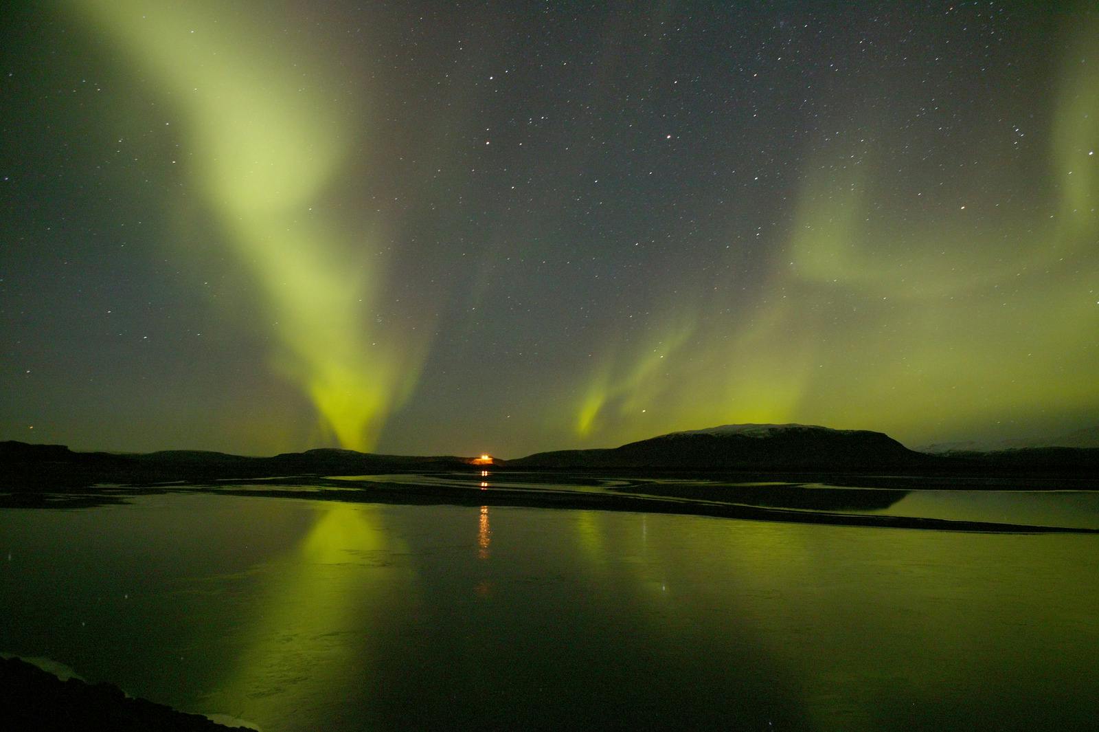
Autumn brings cooler temperatures and fewer visitors, but the views remain spectacular. If you're lucky, you might even catch the first signs of Northern Lights in the night sky. Avoid winter travel unless you're with a local guide or experienced in driving in Icelandic highland conditions. Snow can block the roads, and the landscape, while beautiful, becomes harder to explore safely.
FAQ
How do I get to Búrfell?
Drive east from Reykjavík on Route 1, then take Route 32 into Þjórsárdalur valley. The trip takes about two hours.
Is Búrfell related to Iceland’s power stations?
The Búrfell Hydropower Station and Búrfell II are located at the mountain’s base, using the Þjórsá River for electricity.
What’s the best time to visit Búrfell?
Late spring through early fall offers the best conditions. Roads are accessible, and the weather is more reliable during this time.
Are there facilities nearby?
There are some small service areas in the Þjórsárdalur region, but nothing directly at Búrfell. Bring food, water, and a map.
Why visit Perlan before exploring Búrfell?
Perlan helps you understand Iceland’s geology and energy systems. It adds meaning to what you see at Búrfell and beyond.
Popular articles
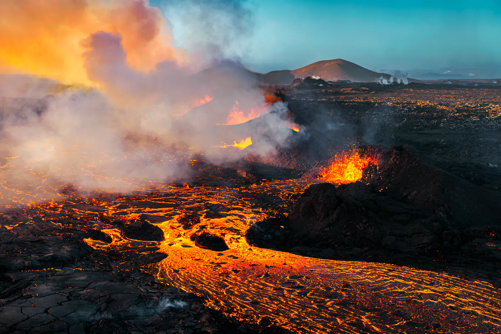
Let's Talk About the Volcano in Iceland About to Erupt
Is a volcano in Iceland about to erupt? Here’s what travelers should know about Svartsengi, Reykjanes activity, flights, safety, and the Blue Lagoon.
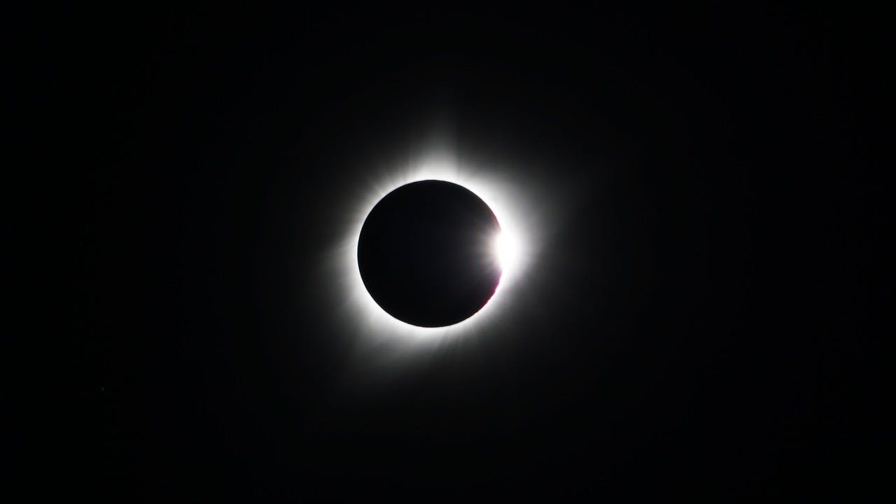
Guide to the Solar Eclipse 2026
Plan your trip to witness the Solar Eclipse 2026 in Iceland! Discover the best viewing spots, key times, safety tips, and travel advice for this rare celestial event.

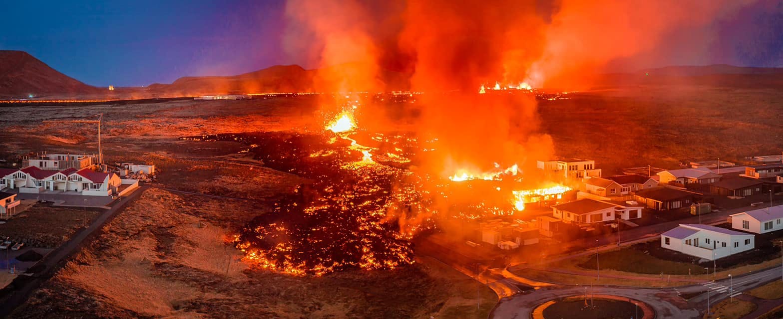
July 2026 updates on the Sundhnúkagígar Eruption in the Reykjanes Peninsula!
The current eruption in the Reykjanes Peninsula, is called Sundhnúkagígar Crater Row. See insights on the seismic activity and volcanic eruptions in the area!
Active Volcanoes in Iceland 2026
Active volcanoes aren't the same thing as active eruptions. A volcano can be considered active even when it is not ejecting ash, rock, gases and magma, so which are active in Iceland in 2026?

Top 10 Places To See the Northern Lights in Iceland
You can see the northern lights across the country, but some spots are more suitable than others. Find the best place to see the northern lights in Iceland.

Ice Caves From Reykjavik
Travel beyond the capital for a closer look at an ice cave under one of Iceland’s glaciers. If you can’t spare the time, experience Perlan’s ice cave in Reykjavik.