
Guide to Hafnarfjall Mountain
Discover Hafnarfjall in West Iceland, including hiking routes, the Seven Peaks challenge, directions, safety tips and more.
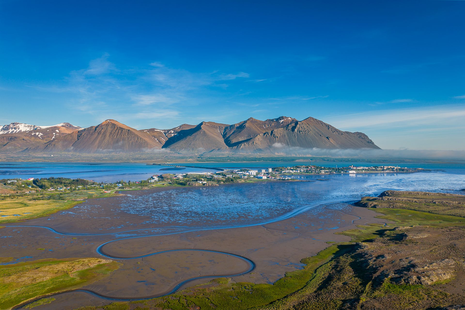
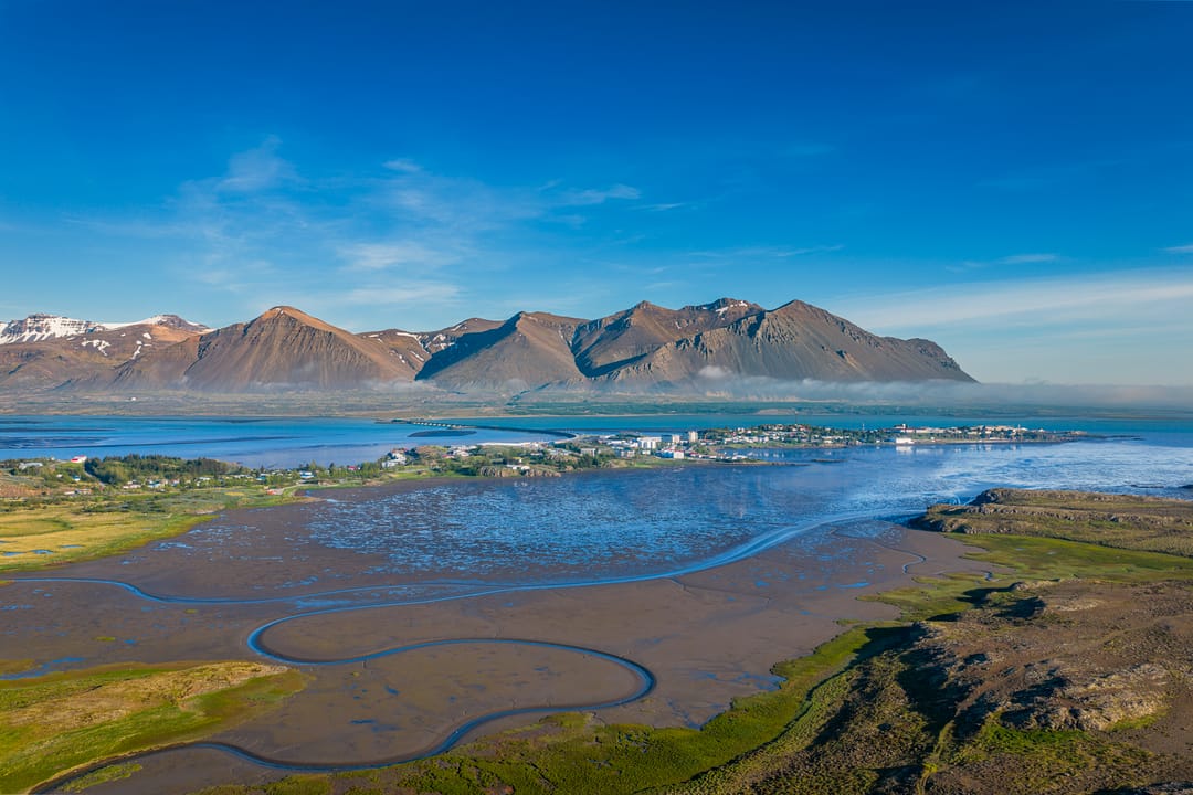
Located along Borgarfjörður, Hafnarfjall is a key landmark as you enter West Iceland. The mountain sits near the southern end of Borgarfjarðarbrú, its pointed ridges clearly visible as travellers drive into Borgarfjörður. More than just a roadside silhouette, Hafnarfjall’s summit offers wide views across the region. Climbing this four-million-year-old mountain is a challenging undertaking, but it provides an excellent glimpse of the region’s ancient volcanic landscape.
What Is Hafnarfjall?
Standing 844 metres (2,769 feet) tall, Hafnarfjall is a prominent landmark near Borgarnes. Far from being an isolated peak, it forms part of the same extinct central-volcano system as the nearby Skarðsheiði mountain range.
Geologists date the mountain back roughly four million years. It is composed primarily of basalt, though light-colored granophyre crags known as Flyðrur are found on the mountain's northern side. Millions of years of erosion have left Hafnarfjall with steep, rocky slopes covered by scree and sharp ridges sparsely vegetated. In contrast, a small birch woodland planted as part of reforestation efforts lies at the foot of the mountain.
After exploring West Iceland’s volcanic landscape, gain a deeper understanding of Icelandic elements at Perlan in Reykjavík. The Water in Icelandic Nature exhibition is an immersive look at the vital role water plays in Iceland’s geology, ecosystems, and culture.
The Hafnarfjall Hike
For travellers who are up for a challenge, hiking Hafnarfjall is a good option. The mountain is known for exposed slopes and strong winds, so hikers should come prepared for a tough climb.
The classic local challenge is the “Seven Peaks of Hafnarfjall,” a demanding trail across all seven peaks on the ridge. It covers around 15 kilometres (9 miles) and involves more than 1,000 metres (3,280 feet) of ascent. Expect a mixture of rocky, grassy and uneven terrain underfoot.
The first part of the route is marked from the car park, while another established trail leads towards Steinn on Hafnarfjall. Higher up, hikers are rewarded with panoramic views over Borgarfjörður, the town of Borgarnes, and the surrounding countryside.
How to Get to Mount Hafnarfjall
Reaching Hafnarfjall is straightforward thanks to its position beside Route 1, Iceland’s Ring Road. The mountain lies near Borgarnes, around 75 kilometres (47 miles) north of Reykjavík, and rises beside the southern approach to Borgarfjörður.
Travelling by rental car is the most practical option. Drivers arriving from Reykjavík will see Hafnarfjall before crossing Borgarfjarðarbrú towards Borgarnes. A parking area near the mountain provides access to the hiking routes. Visitors should always use designated parking instead of stopping by the roadside.
If you are staying locally, you can also park in Borgarnes and enjoy the town’s shops, restaurants, and other services. For instance, Ljómalind farmers market is a good place to browse locally produced food and handicrafts. Meanwhile, accommodation options include the centrally located Hotel Borgarnes.
When Is the Best Time to Hike Hafnarfjall?
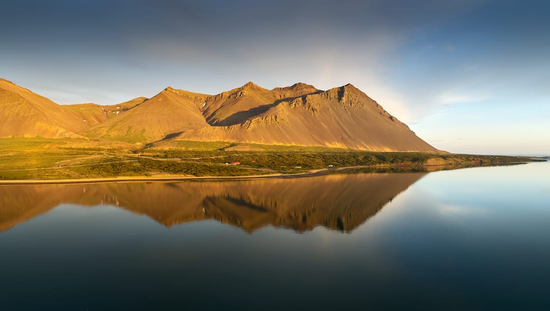
The summer months (from June through August) provide the most practical conditions for tackling the Hafnarfjall hike. During this period, snow has largely melted from the main trails. Long daylight hours also give hikers plenty of time to complete their route safely without rushing to beat sunset. Even then, conditions can change quickly. Hikers should still check the latest weather forecast before setting out.
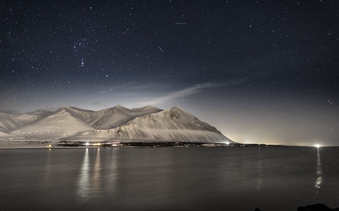
Winter ascents are an entirely different experience. The Seven Peaks route may be temporarily closed during the winter months. Additionally, snow, ice and poor visibility can make the mountain considerably more hazardous. Anyone considering a winter climb should have appropriate experience and specialised gear like ice axes and crampons.
Hafnarfjall is very well-known for strong winds, which can affect both the mountain and the nearby Ring Road. If high winds, heavy rain or poor visibility are forecast, it’s best to turn back and save the climb for another day. Remember, the exposed upper slopes offer little protection if severe weather rolls in across the ocean.
Travel and Safety Tips for Climbing Hafnarfjall
- Check Wind Conditions: Pay particular attention to wind speeds and weather warnings before setting out. Hafnarfjall famously has strong winds, and gusts can make exposed slopes more difficult to navigate.
- Wear Sturdy Footwear: Choose hiking footwear with good grip for the mountain’s mixture of loose rocks, grass, and uneven terrain.
- Pack Layered Clothing: Icelandic weather can change quickly, even in summer. Bring warm layers as well as windproof and waterproof outer clothing, along with gloves and a warm hat.
- Bring Navigation Tools: Carry a GPS, offline map, or physical map and compass. Cloud and poor weather can reduce visibility enough to make trail markers difficult to see.
- Stick to Marked Paths: Stay on established trails and follow markers where present. Keep in mind that not all sections of the Seven Peaks route are marked.
- Inform Someone of Your Plans: Share your route and expected return time with a trusted person and consider submitting a travel plan through SafeTravel before setting out.
Nearby Attractions
Combining a visit to Hafnarfjall with other natural and historical sights makes it easy to explore more of West Iceland. From Borgarnes, several worthwhile stops lie along routes towards Akranes and the Snæfellsnes Peninsula, including spectacular waterfalls in West Iceland:
- Borgarfjarðarbrú: This long bridge crosses Borgarfjörður and connects Borgarnes with Route 1, passing directly beside the Hafnarfjall area.
- Akrafjall: Located further south near Akranes, Akrafjall is another popular hiking mountain, with expansive views across Faxaflói Bay and the surrounding region.
- Eldborg Crater: North-west of Borgarnes, Eldborg Crater rises above the surrounding lava field and can be reached on foot from Snorrastaðir.
- Berserkjahraun Lava Field: On northern Snæfellsnes, the rugged Berserkjahraun Lava Field is known both for its volcanic landscape and its connection with the Eyrbyggja saga.
- Bjarnafoss: On the southern side of Snæfellsnes, Bjarnafoss drops over a basalt cliff near Búðir, surrounded by striking columnar rock.
- Saxhóll Crater: Further west in Snæfellsjökull National Park, Saxhóll Crater is easily accessible via a metal staircase leading towards the rim.
- Lóndrangar: These massive basalt sea stacks stand guard over the coastal cliffs further west.
- Svartuloft Lighthouse: Marking the westernmost tip of the peninsula, this bright orange lighthouse sits atop black lava cliffs overlooking the North Atlantic.
FAQs
The difficulty depends on the route you choose. Shorter hikes on Hafnarfjall are less demanding, while the Seven Peaks route is classified as difficult and involves steep, uneven terrain and substantial elevation gain.
Hafnarfjall is particularly well known for strong winds, and conditions on Icelandic mountains can change quickly. Check the forecast before setting out and be prepared to postpone your hike if winds, rain or poor visibility emerge.
Yes, Hafnarfjall is fully visible from Borgarnes. Hafnarfjall rises prominently across Borgarfjörður and is one of the most noticeable features of the landscape around Borgarnes.
For hikers, Hafnarfjall offers challenging routes and expansive views across Borgarfjörður and the surrounding countryside. Even if you are not climbing it, the mountain’s distinctive profile makes it a striking landmark when travelling through West Iceland.
Summer generally offers the most accessible conditions for hiking Hafnarfjall. Winter brings a greater risk of snow, ice, strong winds and poor visibility.
Popular articles
The Complete Guide to the Northern Lights in Iceland
Learn how the Northern Lights form, where to see them in Iceland, how to prepare, take photos, read the forecast, and improve your chances of a sighting.
Let's Talk About the Volcano in Iceland About to Erupt
Is a volcano in Iceland about to erupt? Here’s what travelers should know about Svartsengi, Reykjanes activity, flights, safety, and the Blue Lagoon.
Solar Eclipse 2026 in Iceland | What Happened
Iceland experienced a total solar eclipse on August 12, 2026. Discover what happened in Reykjavík, eclipse times, totality locations and more.
September 2026 updates on the Sundhnúkagígar Eruption in the Reykjanes Peninsula!
The current eruption in the Reykjanes Peninsula, is called Sundhnúkagígar Crater Row. See insights on the seismic activity and volcanic eruptions in the area!
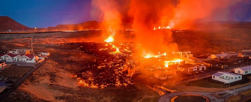
Active Volcanoes in Iceland 2026
Active volcanoes aren't the same thing as active eruptions. A volcano can be considered active even when it is not ejecting ash, rock, gases and magma, so which are active in Iceland in 2026?
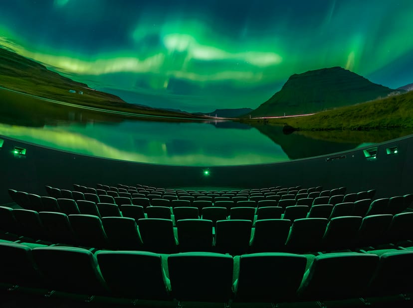
Top 10 Places To See the Northern Lights in Iceland
Discover the best places to see the Northern Lights in Iceland, from Jökulsárlón and Kirkjufell to Reykjavík, Þingvellir and North Iceland.
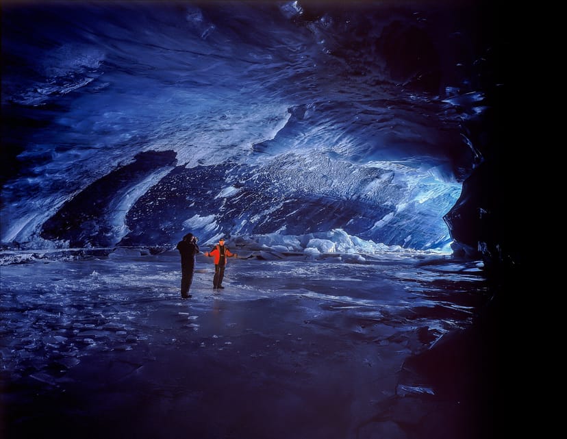
Ice Caves From Reykjavik
Planning an ice cave trip from Reykjavik? Compare Katla, Langjökull and Vatnajökull, travel times, seasons and Perlan’s ice cave in the city.