
Guide to Bjarnarfoss Waterfall
Explore Bjarnarfoss, a beautiful waterfall on the Snæfellsnes Peninsula. The slender cascade is remarkably accessible, with stunning views stretching to the coast.
Rising above the coastal plains near Búðir, Bjarnarfoss is a slender waterfall tumbling down dark basalt cliffs. It sits on the southern side of the Snæfellsnes Peninsula, visible right from the main road. With a walking path leading closer to the falls, Bjarnarfoss is a scenic stop ideal for photography and sweeping views. For road-trippers touring the peninsula, it delivers classic Icelandic scenery without a major detour necessary.
What Is Bjarnarfoss?
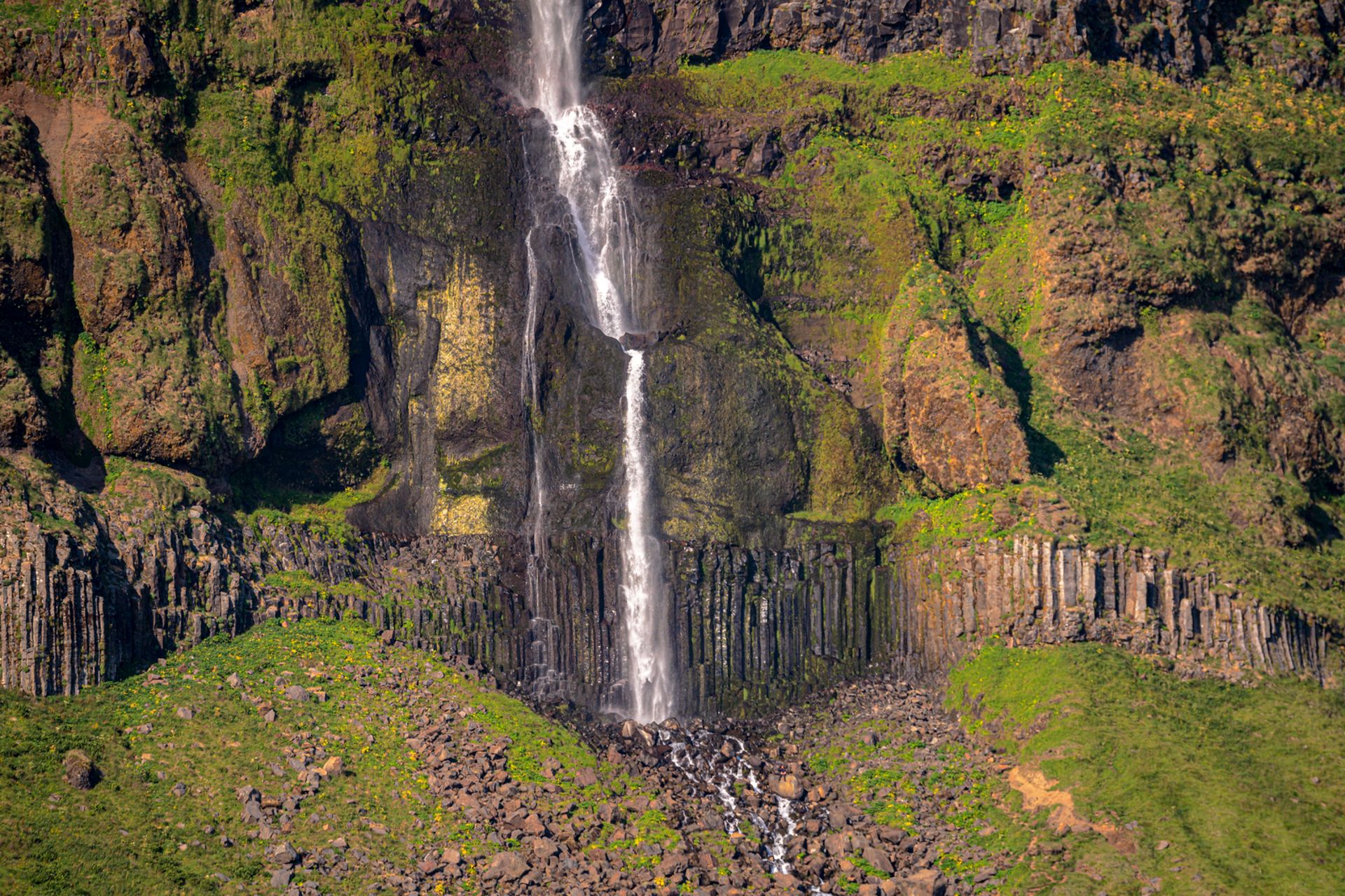
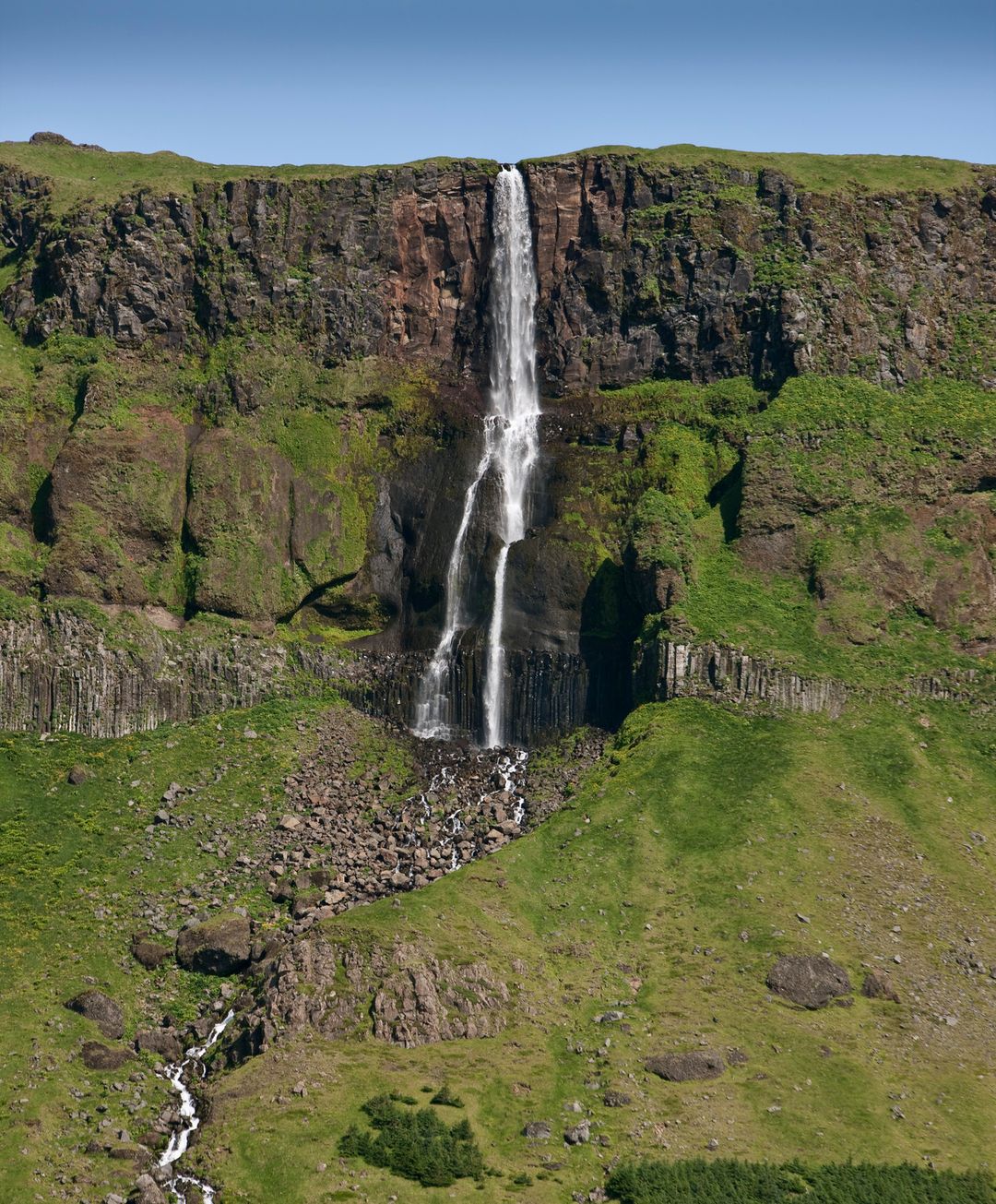
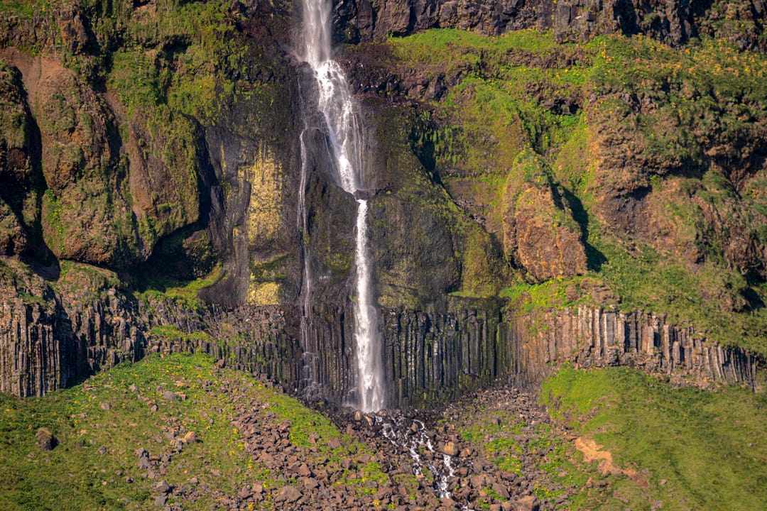
Sitting below the extinct rhyolite volcano Mælifell, the two-tier Bjarnarfoss drops approximately 80 metres (262 feet) down a basalt cliff. This creates the dark backdrop that gives the beautiful waterfall much of its distinctive appearance.
In calm weather, the water descends in a long, slender cascade. However, the exposed coastal setting means that the falls are vulnerable to strong Atlantic winds. Gusts can catch the falling water and spray, blowing it sideways or even appearing to send it back upwards.
Recognised for its geological and natural value, Bjarnarfoss and the surrounding basalt cliffs are listed on Iceland’s Nature Conservation Register. Even among the many waterfalls in West Iceland, it stands out for its striking setting and easy accessibility.
Hiking to Bjarnarfoss
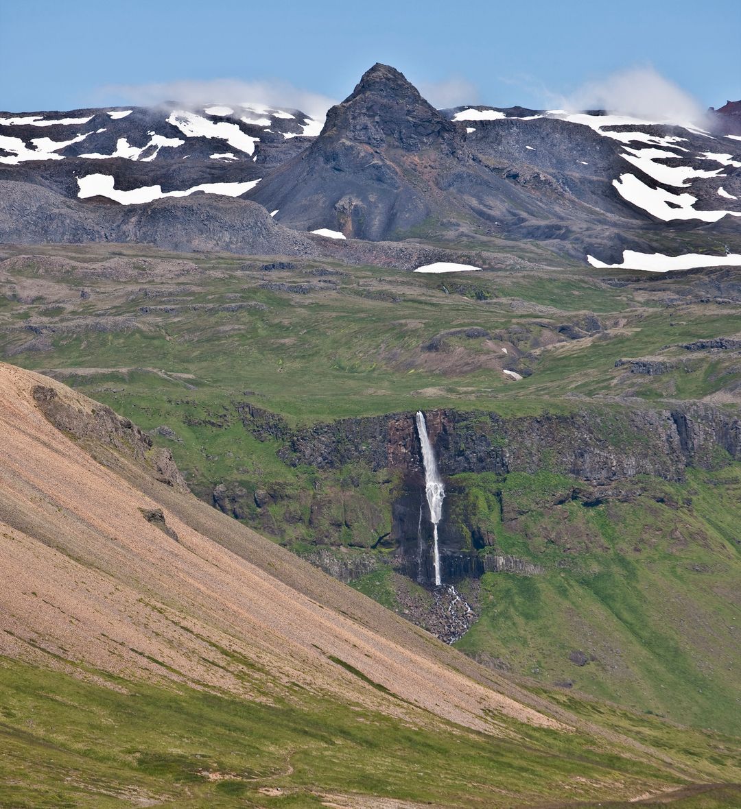
Visitors can actually enjoy clear views of the waterfall as soon as they hop out of the car. The lower viewing area lies right beside the parking lot, making Bjarnarfoss an effortless stop for those short on time or mobility.
For a closer look, a trail heads up the slope toward the falls. Don’t expect an extended trek, though. The round-trip walk is less than a kilometre with roughly 40 metres (131 feet) of elevation gain. Taking about 20 to 30 minutes overall, the path features a mix of gravel, dirt, grass, and stones.
Instead of climbing to the top of the cliff, the route ascends the grassy slopes towards the slopes below the cascade. Along the way, expansive views stretch towards the ocean, Hotel Búðir, and the famous black church at Búðir.
Loose rockfall can be a hazard, so visitors should stay on the marked footpath and avoid climbing into unstable boulder fields. In wet or icy weather, the dirt and rocky sections can quickly become slippery. Sturdy footwear is recommended, even for this short walk.
How to Get to Bjarnarfoss Waterfall
Travelling to Bjarnarfoss is remarkably easy, especially if you have your own car. The waterfall sits beside Route 54 (Snæfellsnesvegur) on the southern side of the peninsula. It’s close to the junction with Route 574 (Útnesvegur), which continues toward Búðir and attractions along the western peninsula.
From Reykjavík, the journey is around 170 kilometres (106 miles) and takes about 2.5 hours under normal conditions. Simply drive north on Route 1 (Ring Road) through Borgarnes, then turn onto Route 54 heading west. As you approach Bjarnarfoss, you can spot the white ribbon of water spilling down the mountainside from the road.
Best Time to Visit Bjarnarfoss
No matter what month you are in Iceland, Bjarnarfoss Waterfall is worth a visit. However, each season has its benefits.
- Summer (June–August): Long daylight hours, green vegetation, and blooming wildflowers make the short walk especially pleasant. This is also the busiest travel season, so you may encounter more visitors.
- Autumn (September–October): Icelandic mosses and low vegetation take on muted autumn colours. Softer seasonal light can also be exceptionally photogenic.
- Winter (November–March): Snow-covered slopes and icy formations can give the waterfall a dramatic appearance. However, snow, ice, and limited daylight can make the trail more challenging.
- Spring (April–May): Snowmelt may increase the flow of the waterfall. Additionally, the surrounding landscape gradually begins to turn greener in spring.
Regardless of the month, though, travellers are encouraged to check road and weather conditions daily.
Nearby Attractions
Thanks to Bjarnarfoss’ convenient location, it’s easy to combine with other major stops on the peninsula. Whether you’re on a day trip or a slower two-day Snæfellsnes Peninsula itinerary, several worthwhile attractions lie nearby.
- Búðakirkja: Located just a few minutes away at Búðir, this iconic landmark is one of Iceland’s best-known black churches. From higher sections of the Bjarnafoss walking trail, you can look out towards Búðakirkja, Hotel Búðir, and the coastline.
- Arnarstapi and Hellnar: Continue west along Útnesvegur to reach these coastal settlements known for basalt cliffs, lava formations, and scenic walking paths. The coastline between Arnarstapi and Hellnar is protected as a nature reserve.
- Rauðfeldsgjá Gorge: Located between Bjarnarfoss and Arnarstapi, this hidden cliff-fissure allows visitors to step into a moss-covered ravine carved by a small stream.
- Lóndrangar Sea Stacks: Farther west, these eye-catching rock formations tower above the Atlantic coast.
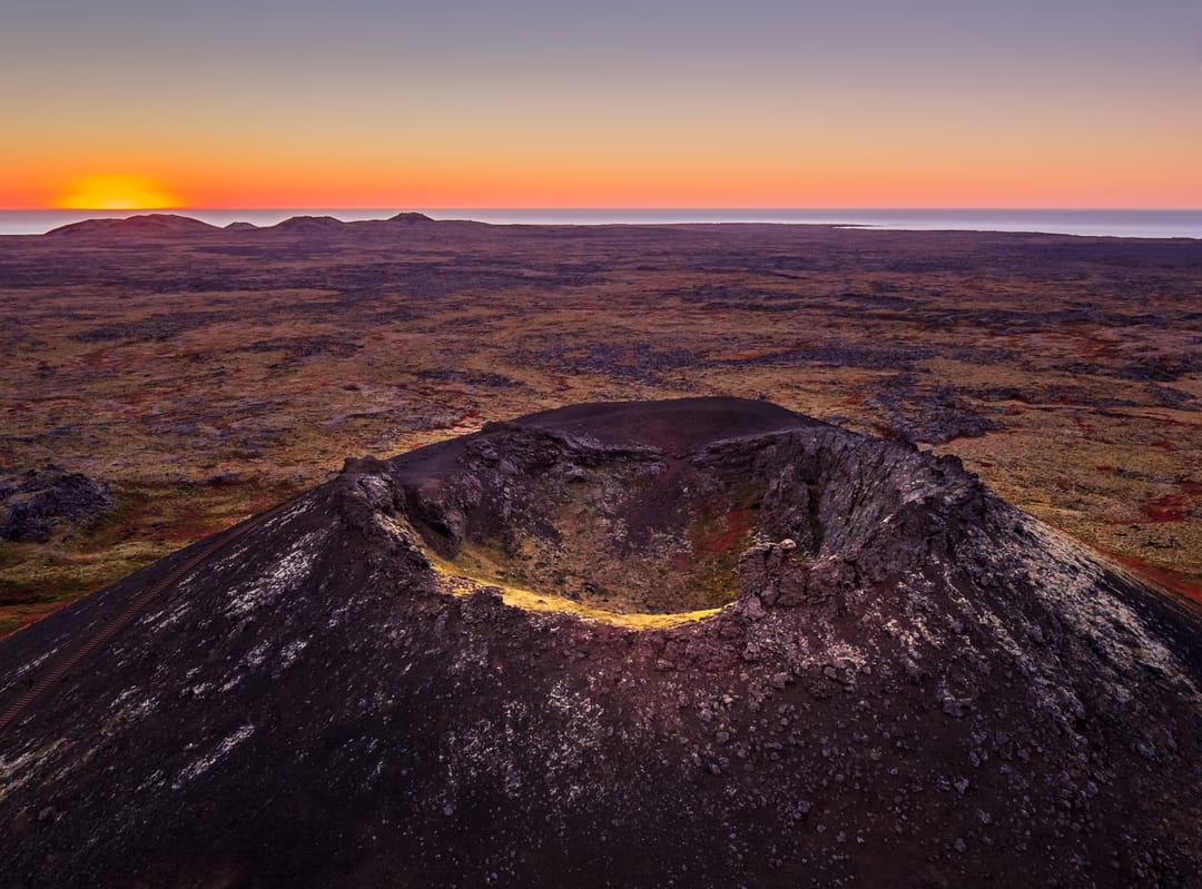
For those continuing around the peninsula, the route also leads towards Saxhóll Crater, Kirkjufell Mountain, and attractions along the northern coast.
Discover the Story of Water at Perlan
Bjarnarfoss is a striking example of water’s role in Icelandic life and the environment. To learn more about this fascinating subject, visit the fun and informative Water in Icelandic Nature exhibit at Perlan. The exhibition explores the surprisingly diverse journey of Icelandic water, from glaciers and underground aquifers to rivers, lakes, and waterfalls.
FAQs
Yes, especially because it sits right off Route 54 and requires only a short walk from the car park. Unlike more remote stops, Bjarnarfoss takes little time to visit while still offering striking views.
If you are stopping for a quick photo from the parking area, 10 to 15 minutes may be enough. If you plan to walk the short trail towards the falls, allow around 30 to 45 minutes.
No. Bjarnarfoss is clearly visible from the road and parking area. However, following the short trail provides a closer look at the waterfall and wider views towards Búðir and the coast.
The walking trail is approximately 0.57 kilometres (0.35 miles) long, with around 40 metres (131 feet) of elevation gain. The official trail listing estimates about 30 minutes to complete it.
Yes, the Bjarnarfoss trail is officially open year-round, although snow and ice can make walking conditions more difficult. Wear sturdy footwear with good grip and check the weather and road conditions before visiting.
Popular articles
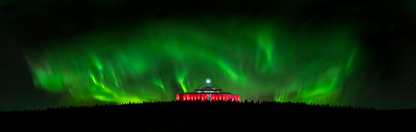
The Complete Guide to the Northern Lights in Iceland
Learn how the Northern Lights form, where to see them in Iceland, how to prepare, take photos, read the forecast, and improve your chances of a sighting.
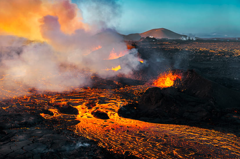
Let's Talk About the Volcano in Iceland About to Erupt
Is a volcano in Iceland about to erupt? Here’s what travelers should know about Svartsengi, Reykjanes activity, flights, safety, and the Blue Lagoon.

Solar Eclipse 2026 in Iceland | What Happened
Iceland experienced a total solar eclipse on August 12, 2026. Discover what happened in Reykjavík, eclipse times, totality locations and more.
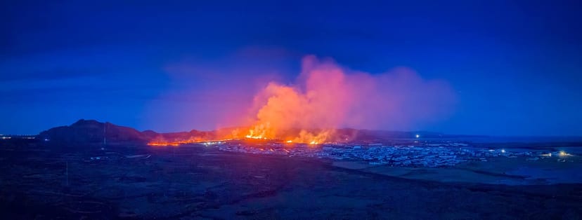
September 2026 updates on the Sundhnúkagígar Eruption in the Reykjanes Peninsula!
The current eruption in the Reykjanes Peninsula, is called Sundhnúkagígar Crater Row. See insights on the seismic activity and volcanic eruptions in the area!
Active Volcanoes in Iceland 2026
Active volcanoes aren't the same thing as active eruptions. A volcano can be considered active even when it is not ejecting ash, rock, gases and magma, so which are active in Iceland in 2026?
Top 10 Places To See the Northern Lights in Iceland
Discover the best places to see the Northern Lights in Iceland, from Jökulsárlón and Kirkjufell to Reykjavík, Þingvellir and North Iceland.
Ice Caves From Reykjavik
Planning an ice cave trip from Reykjavik? Compare Katla, Langjökull and Vatnajökull, travel times, seasons and Perlan’s ice cave in the city.