
Guide to Fjaðrárgljúfur Canyon in Iceland
Plan your visit to Fjaðrárgljúfur Canyon with this guide to its mossy cliffs, walking trail, viewpoints, waterfall, parking, road access, and geology.
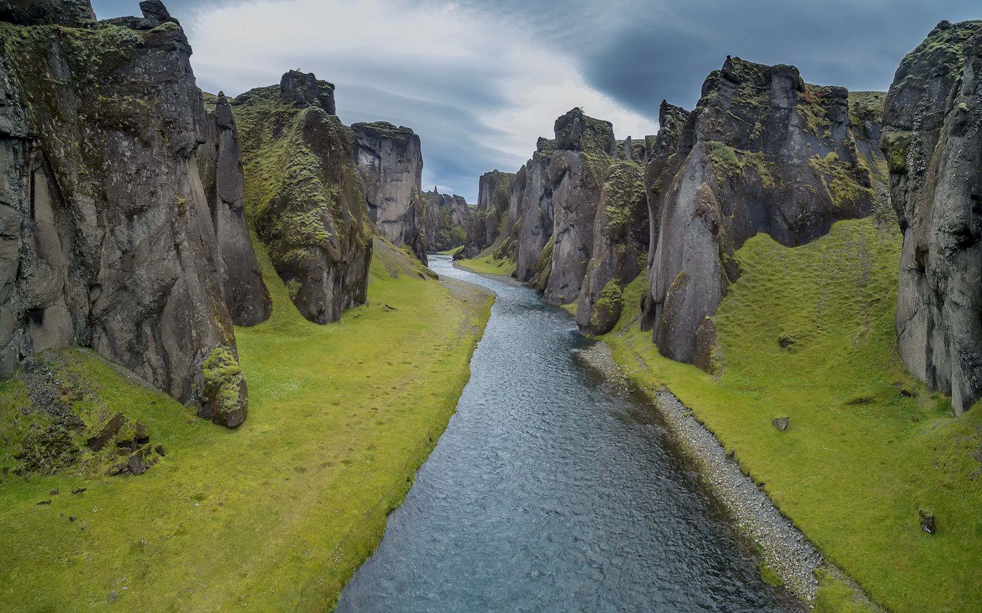
In Southeast Iceland, near the village of Kirkjubæjarklaustur, lies a canyon that looks straight out of an epic fantasy novel. Fjaðrárgljúfur is a striking gorge with steep, moss-covered cliffs and the winding Fjaðrá River at its base. Located just a few kilometres from the Ring Road, it is one of South Iceland’s most memorable natural landmarks. Carved thousands of years ago, Fjaðrárgljúfur Canyon is a vivid glimpse into Iceland’s ancient volcanic and glacial landscape.
What Is Fjaðrárgljúfur?
Roughly 2 kilometres (1.2 miles) long and up to 100 meters (328 feet) deep, Fjaðrárgljúfur is celebrated for its distinct serpentine shape. Towering, sheer rock walls twist dramatically along the landscape, draped in luminous Icelandic moss and vegetation. Colours of these mossy cliffs shift depending on the weather, creating an ever-changing landscape in this part of Iceland.
The striking contrast between dark rock, green moss, and the winding Fjaðrá River makes it stand out among the region’s landmarks. Like Mulagljufur Canyon farther east, Fjaðrárgljúfur shows how dramatically water and volcanic rock have shaped South Iceland.
Beyond its striking beauty, it also gained international attention after Justin Bieber filmed the “I’ll Show You” music video there. The 2015 video helped introduce Fjaðrárgljúfur to a much wider audience. Now, the once quiet stop has turned into one of the most memorable attractions on the Ring Road.
How Was Fjaðrárgljúfur Formed?
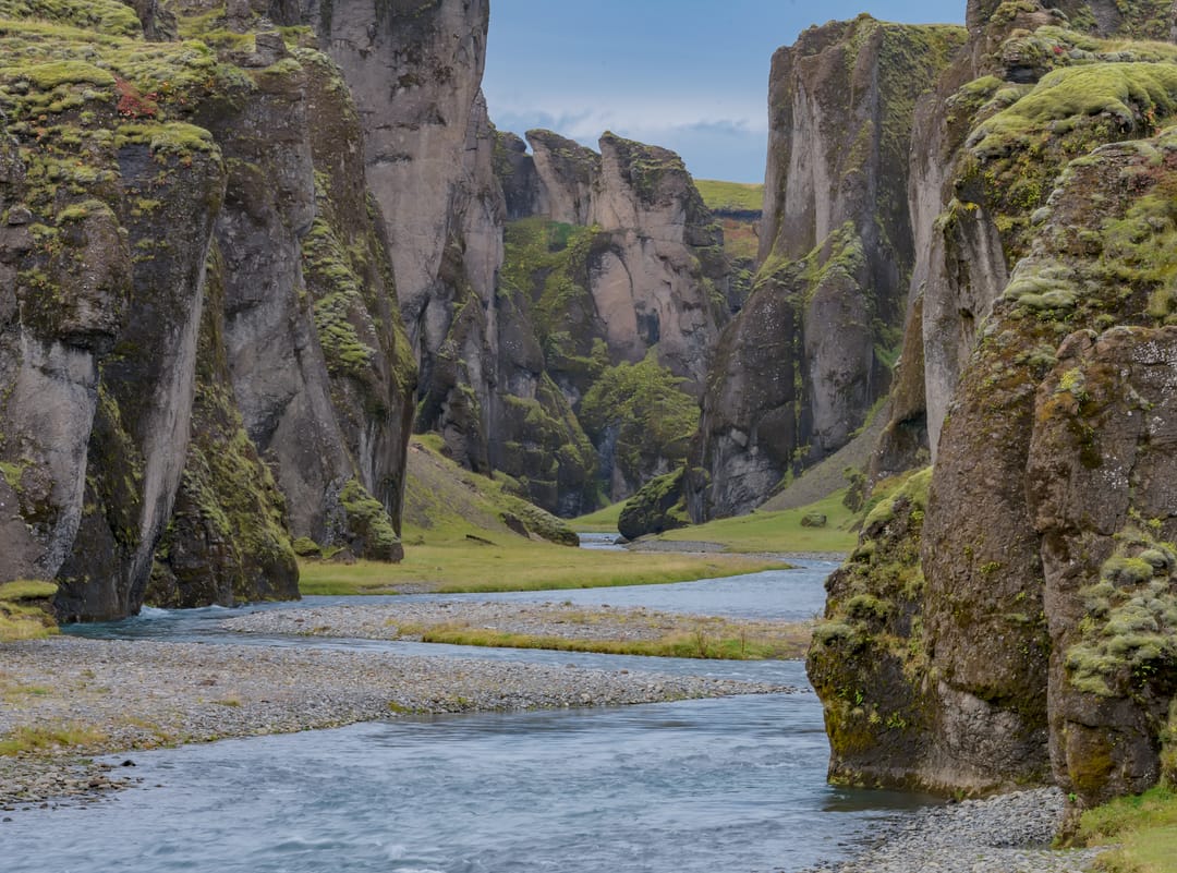
The hyaloclastite bedrock of Fjaðrárgljúfur is thought to date back roughly two million years, to the earlier periods of the Ice Age. The canyon itself, however, is a much more recent geological feature. Fjaðrárgljúfur is believed to have formed at the end of the last Ice Age, 10 - 12 thousand years ago.
As glaciers retreated across South Iceland, a lake formed in the valley behind a hard rock formation. Runoff from this lake flowed toward the area where Fjaðrárgljúfur now lies. The Fjaðrá stream, then a powerful glacial river, soon filled up the lake with sediments. After that, it started carving out the deep and winding gorge into the soft hyaloclastite rock, leaving harder rock formations standing as part of the canyon’s steep walls.
Eventually, when the main glacier retreated, the powerful glacial flows diminished, and the river lost its glacial nature. Today, the Fjaðrá River still winds through the base of the canyon, a quieter remnant of the forces that helped create it. Although the process is now much slower, the river continues to shape Fjaðrárgljúfur through gradual erosion.
To discover how freshwater sculpts these surreal landscapes, check out the Water in Icelandic Nature exhibition at Perlan in Reykjavík. This interactive exhibit brilliantly showcases the diversity of Iceland's rivers and waterfalls. Here, learn the vital role water plays in making and shaping the island.
What to See at Fjaðrárgljúfur Canyon
Fjaðrárgljúfur is a sensory experience where ancient geology meets living nature. As you explore the area, there are several key features you should keep an eye out for:
- The Hyaloclastite Cliffs: The most striking feature of the canyon is its steep, sculpted walls. The contrast between the weathered volcanic rock and the surrounding plant life gives the canyon its otherworldly appearance.
- The Fjaðrá River: Far below the cliffs, the Fjaðrá River snakes its way along the canyon floor. Depending on the season and the light, the water shifts from a deep, clear blue to a soft, icy turquoise. The flowing water creates a beautiful ribbon in the landscape that draws your eye through the belly of the gorge.
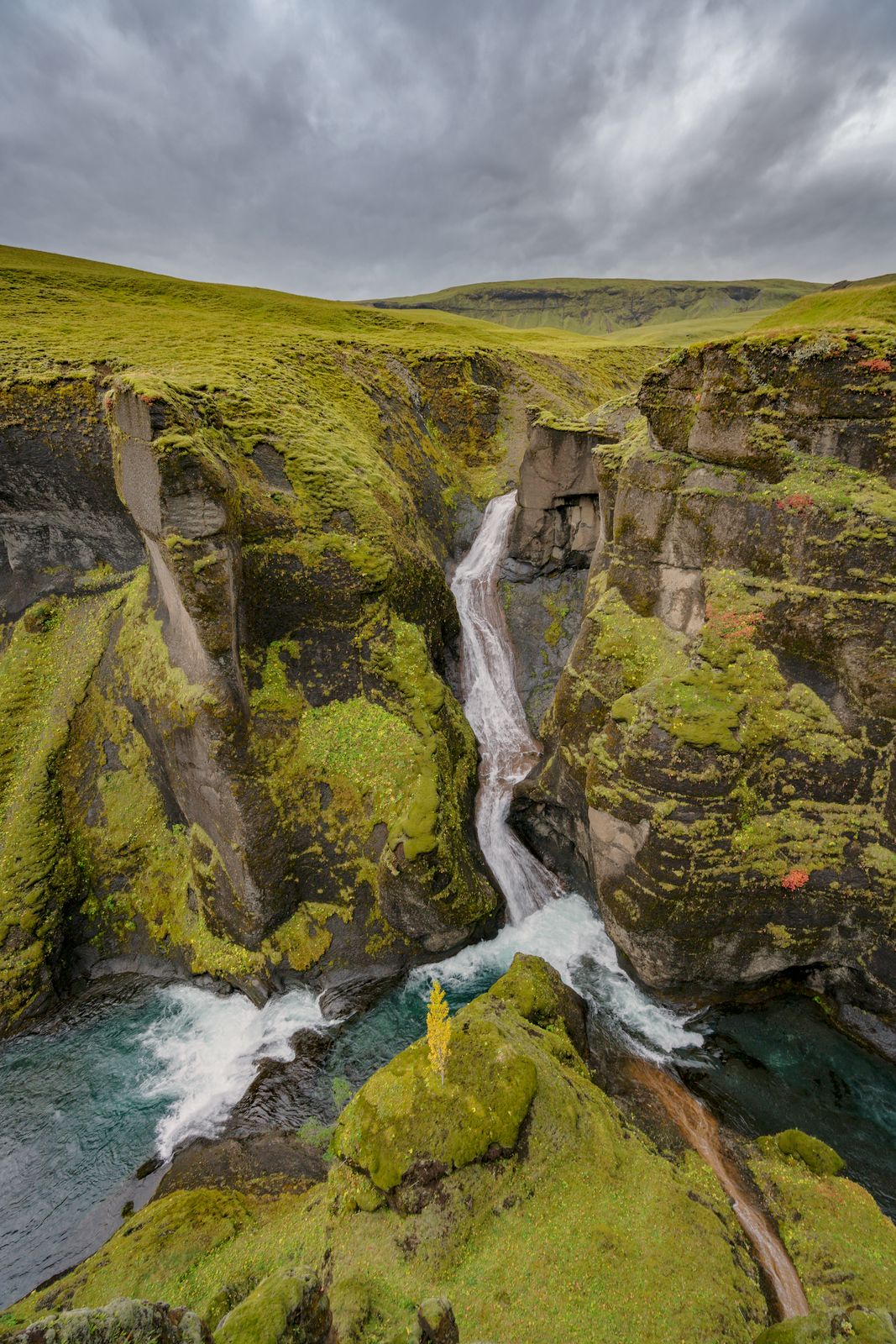
- Mögáfoss Waterfall: Near the upper viewpoints, visitors can also see Mögáfoss, a beautiful waterfall created by the Mögá River as it tumbles toward the canyon floor. This scenic highlight adds another layer to the panorama.
Hiking at Fjaðrárgljúfur
The canyon experience is best enjoyed on foot. Travellers will find that the Fjaðrárgljúfur canyon hike is one of the most memorable short hikes along the South Coast, Iceland.
The main route follows an easy, well-marked out-and-back trail along the canyon rim. Depending on where you begin and how far you continue, it’s roughly 2–3 kilometres (1.2–1.9 miles) round trip. Starting from the lower parking area, the trail begins with a short, steady uphill section. After this initial climb, the route becomes gentler as it follows the side of the canyon.
Along the way, marked paths and barriers guide visitors toward several viewing platforms overlooking the gorge. These observation points offer sweeping views of the canyon’s winding shape, steep walls, and the Fjaðrá River below. The final platform at the top gives you the ultimate view of the canyon's dramatic fork and the cascading waters of Mögáfoss.
How to Get to Fjaðrárgljúfur
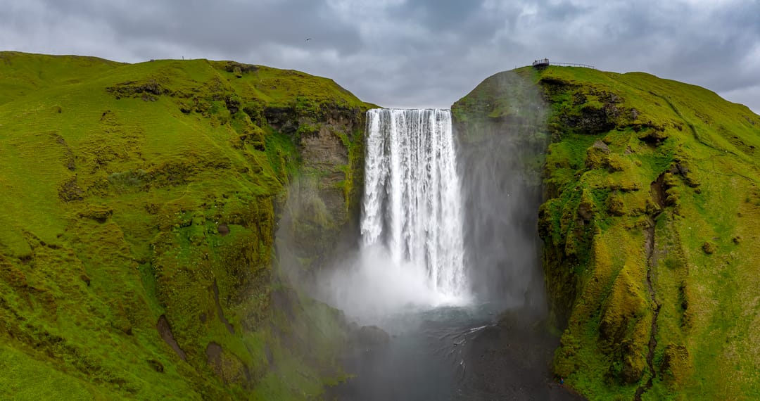
Fjaðrárgljúfur is an easy addition to a South Coast road trip, as the route is straightforward. Located about 250 kilometres (155 miles) from Reykjavík and a short drive from Kirkjubæjarklaustur, the canyon is accessible from the Ring Road. It makes a wonderful afternoon stop if you are spending the morning exploring iconic southern landmarks like Skógafoss Waterfall in Iceland.
To get there, drive along the Ring Road (Route 1) until the turn for Road 206/F206 toward Lakagígar. From there, follow the gravel road for about 6 kilometres (3.7 miles) until you reach the parking area. Although this stretch is unpaved, it is generally suitable for regular cars in summer. In winter, snow, ice, and changing road conditions can make the drive more challenging.
Fjaðrárgljúfur has two main parking areas. The lower parking area sits near the canyon’s base and puts you right on the main walking route along the rim. The upper parking area is farther along the road and closer to some of the higher viewpoints. Parking fees can usually be paid through the Parka app.
Tips for Visiting Fjaðrárgljúfur Responsibly
Fjaðrárgljúfur’s rise in popularity has increased pressure on its fragile natural environment. To help protect the canyon for future generations, keep these guidelines in mind during your visit:
- Stay on Marked Paths: The moss and low vegetation around Fjaðrárgljúfur are easily damaged and can take a long time to recover. Never step over ropes or pass warning signs for a photo, even if the trail is muddy.
- Use the Designated Viewing Platforms: These metal decks are strategically placed to offer the best vantage points of the canyon without eroding the fragile cliff edges.
- Keep Drones to a Minimum (or Avoid Completely): Drone use can disturb wildlife and other visitors, and flights in protected or sensitive areas may require special permission. Unless drone flying is clearly allowed and you have any required permits, it is best to leave the drone packed away.
- Leave No Trace: Do not rely on finding trash bins along the trail. Pack out everything you pack in to leave the landscape as pristine as you found it.
FAQs
Yes. Fjaðrárgljúfur is one of South Iceland’s most striking and photogenic canyons, offering dramatic geological views with relatively little hiking effort.
A typical visit takes about 45 to 60 minutes. This gives you plenty of time to enjoy a leisurely walk along the rim trail and take photos from the viewing platforms.
Visitors should stay on the marked trails and designated viewing areas along the canyon rim. Walking off-trail or entering sensitive areas can damage fragile vegetation and may be unsafe, especially near the river and steep canyon walls.
Fjaðrárgljúfur is generally open year-round, but access can depend on weather, road conditions, and trail conditions. The area may close temporarily during spring thaw, heavy rain, snowmelt, or icy periods to protect muddy paths and fragile vegetation.
In summer, a standard two-wheel-drive car can usually reach the main canyon parking area via Road 206. A 4x4 is recommended during winter and strictly required year-round if you plan to continue onto the F-road toward the Highlands.
Popular articles
The Complete Guide to the Northern Lights in Iceland
Learn how the Northern Lights form, where to see them in Iceland, how to prepare, take photos, read the forecast, and improve your chances of a sighting.
Let's Talk About the Volcano in Iceland About to Erupt
Is a volcano in Iceland about to erupt? Here’s what travelers should know about Svartsengi, Reykjanes activity, flights, safety, and the Blue Lagoon.
Solar Eclipse 2026 in Iceland | What Happened
Iceland experienced a total solar eclipse on August 12, 2026. Discover what happened in Reykjavík, eclipse times, totality locations and more.
September 2026 updates on the Sundhnúkagígar Eruption in the Reykjanes Peninsula!
The current eruption in the Reykjanes Peninsula, is called Sundhnúkagígar Crater Row. See insights on the seismic activity and volcanic eruptions in the area!
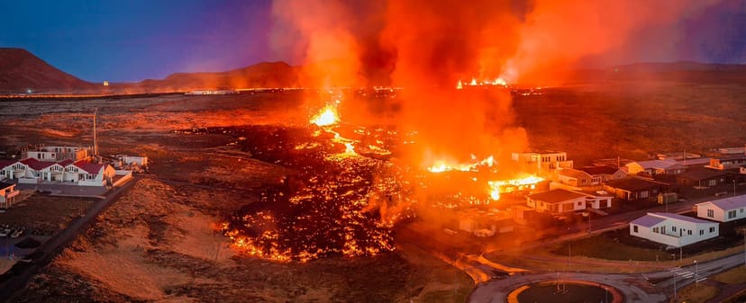
Active Volcanoes in Iceland 2026
Active volcanoes aren't the same thing as active eruptions. A volcano can be considered active even when it is not ejecting ash, rock, gases and magma, so which are active in Iceland in 2026?
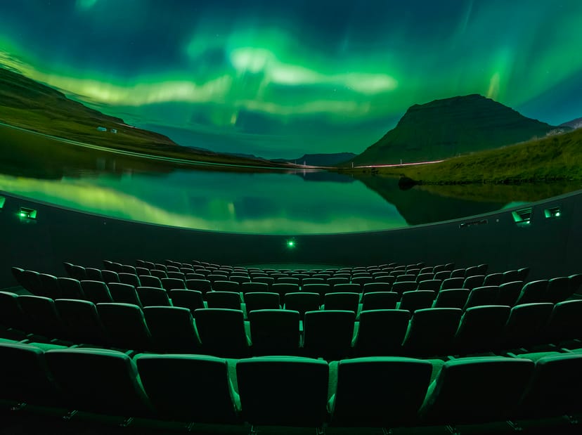
Top 10 Places To See the Northern Lights in Iceland
Discover the best places to see the Northern Lights in Iceland, from Jökulsárlón and Kirkjufell to Reykjavík, Þingvellir and North Iceland.
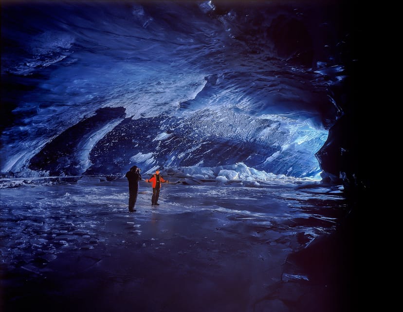
Ice Caves From Reykjavik
Planning an ice cave trip from Reykjavik? Compare Katla, Langjökull and Vatnajökull, travel times, seasons and Perlan’s ice cave in the city.