
Guide to the Highland Route, Sprengisandur
Sprengisandur is one of Iceland's most remote highland routes. This rough gravel road stretches between glaciers and crosses a vast, desolate plateau.
What Is Sprengisandur?
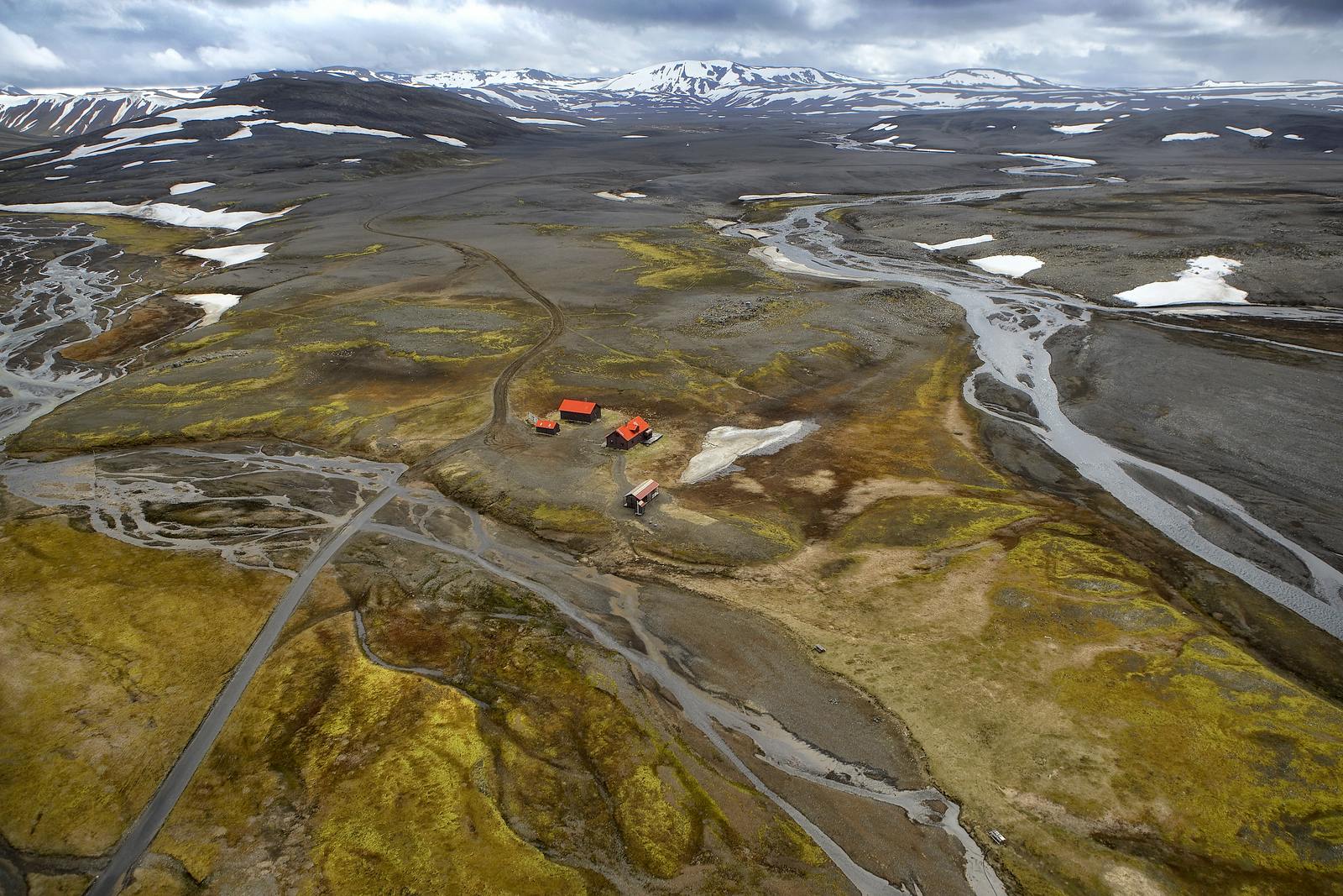
Sprengisandur is a highland plateau in central Iceland. It lies between Hofsjökull and Vatnajökull glaciers.
The area is part of the Icelandic Highlands, a vast region shaped by volcanoes, glaciers, and rivers. The main feature here is the Sprengisandur route, a gravel road known as F26.
This route connects the southern and northern parts of Iceland, running from near Þórisvatn, northeast of the Hekla volcano in the south, to the southwest of Lake Mývatn, near Bárðardalur valley, in the north.
A Route Through Legends and Lava
Long ago, travelers feared this path. Bandits and spirits were said to haunt the windswept plains. The name "Sprengisandur" comes from the Icelandic word sprengja, meaning to ride a horse to exhaustion. This reflects the brutal effort needed to cross it.
Today, the route offers a window into Iceland's raw natural power.
Driving the Sprengisandur Route
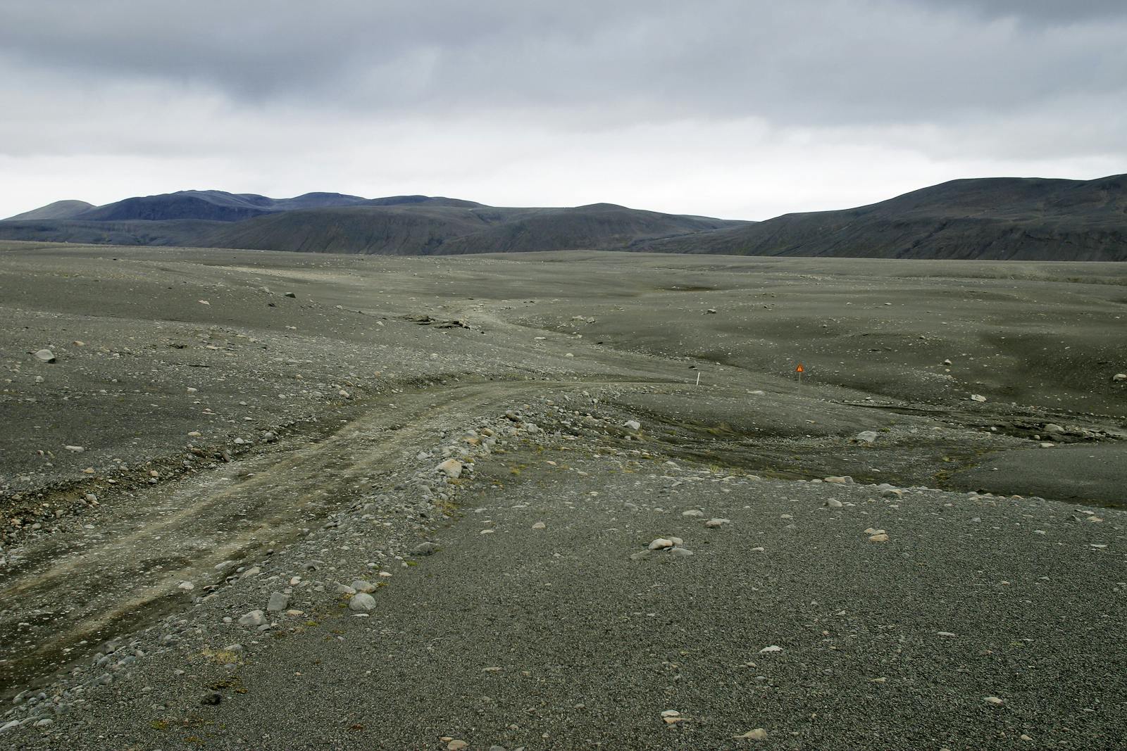
The F26 gravel road starts near Hrauneyjar and ends at Mýri in Bárðardalur.
- Road type: F-road (gravel, unpaved)
- Vehicle needed: 4x4 only
- Season: Open in summer only, usually from late June to early September
- Length: About 180 kilometers (112 miles)
This is not a road for beginners. You’ll need to cross rivers and navigate rough terrain. The weather can change quickly. Always check road conditions and travel with care.
Nature and Geology of Sprengisandur
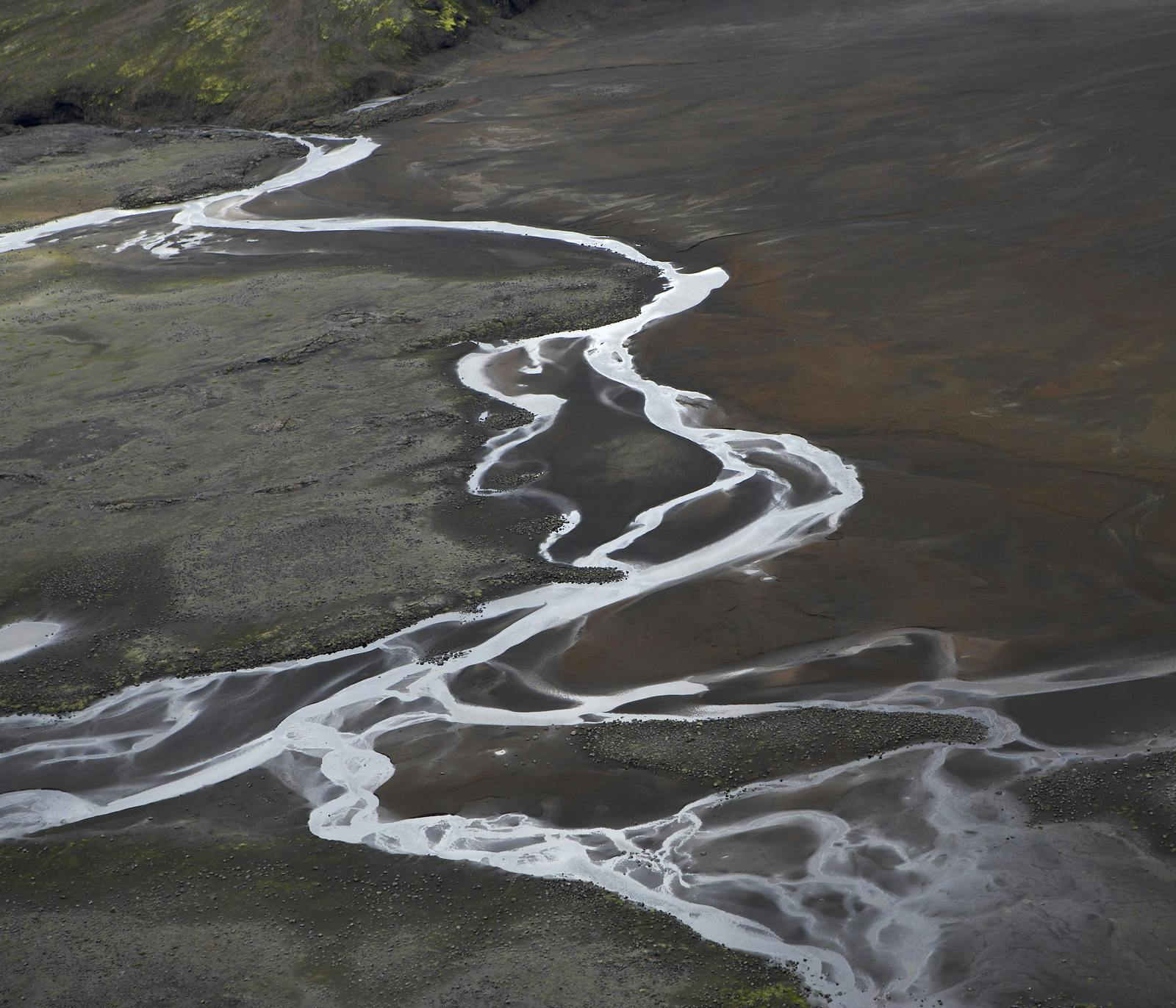
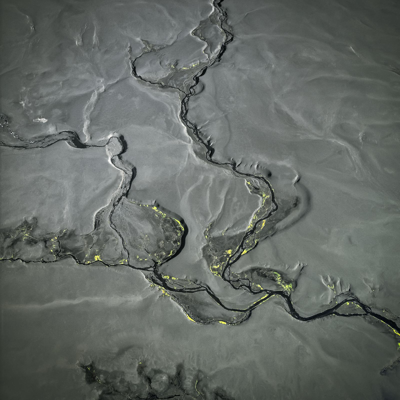
Sprengisandur is shaped by volcanoes, glaciers, and ancient rivers. The land here is mostly black sand and lava, with little plant life. You can see with your own eyes how glaciers carved deep valleys and volcanoes left behind sharp rocks and wide plains. The wind often blows strongly, carrying dust across the open highlands. This wild landscape shows the power of nature in its rawest form.
What You'll See in Sprengisandur
- Endless volcanic desert
- Views of Hofsjökull and Vatnajökull glaciers
- Black sand plains and lava fields
- Remote rivers and glacial streams
- No towns or villages
This is pure wilderness. You might not see another car for hours. Bring everything you need: food, water, fuel, and emergency supplies.
How Does It Compare to Kjölur?
Like Kjölur, Sprengisandur is a highland route. But Sprengisandur is longer, rougher, and more isolated. If you’re looking for an easier drive with hot spring stops, Kjölur may suit you better.
Sprengisandur is for those who want to feel alone in Iceland’s highlands.
What Are Some Nearby Attractions?
- Nýidalur Valley: A research station and popular resting point
- Aldeyjarfoss Waterfall: Located at the northern end of the route, featuring a 20-meter drop and basalt columns
- Landmannalaugar: At the southern end, known for colorful rhyolite mountains and hot springs
Tips for Traveling Sprengisandur
- Drive only in summer
- Use a high-clearance 4x4
- Cross rivers carefully
- Tell someone your travel plans
- Don’t rush
- Bring a physical map
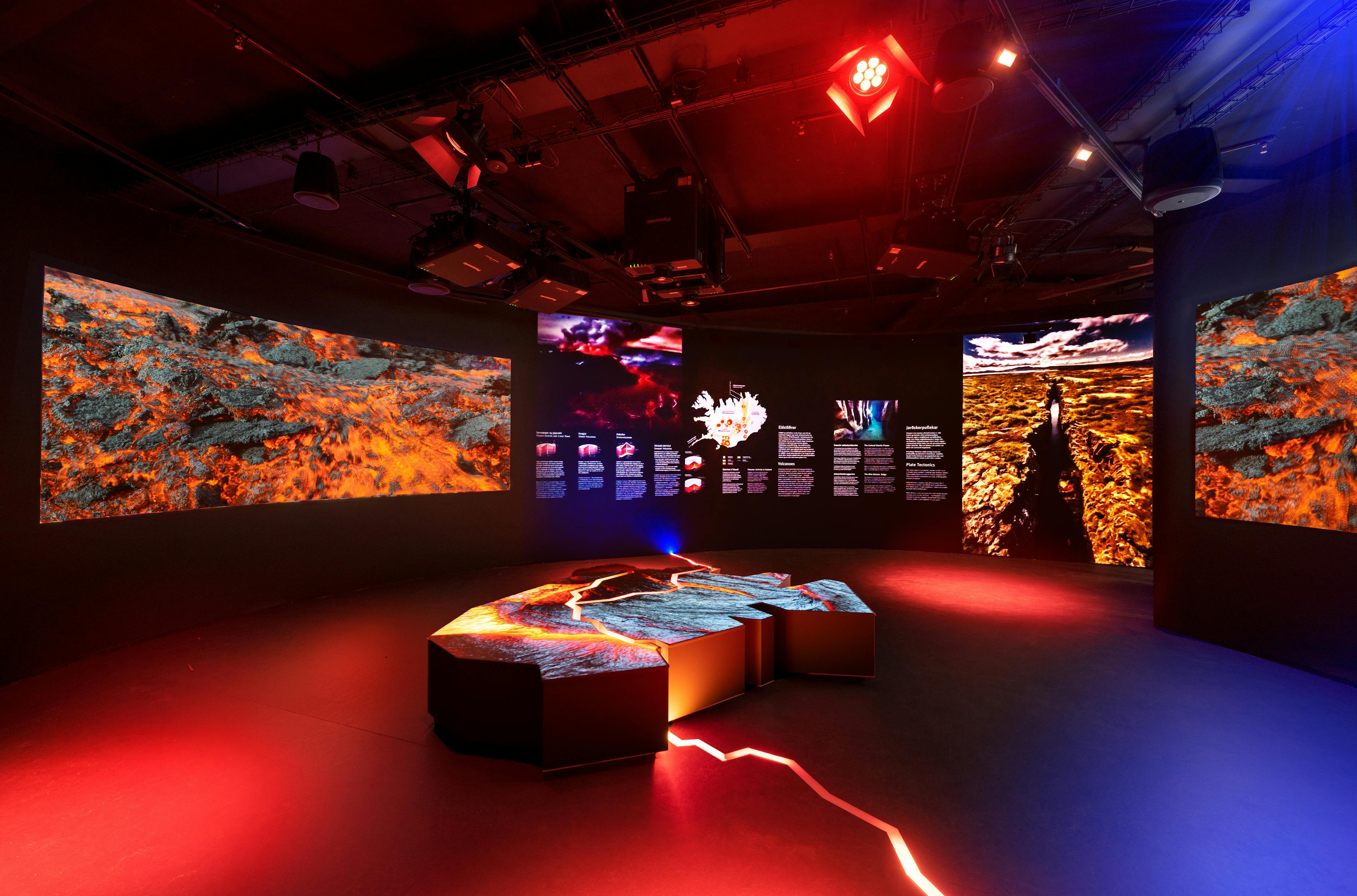
Learn More at Perlan
Perlan in Reykjavík offers exhibits about Iceland’s geology and landscapes. You can explore the science behind the highlands before you travel.
FAQs
What is Sprengisandur?
Sprengisandur is a gravel highland route that crosses a remote plateau between Iceland’s glaciers.
Is the Sprengisandur road open all year?
No, it usually opens from late June to early September.
Can you drive Sprengisandur in a regular car?
No. You need a 4x4 to drive this F-road safely.
Are there places to stay on Sprengisandur?
Very few. Most travelers camp or stop at the Nýidalur hut.
How long does it take to drive Sprengisandur?
It takes 6 to 10 hours, depending on conditions.
Is it safe to travel alone?
It’s safer to travel with others. Always let someone know your route.
Why is Sprengisandur famous?
It’s known for its isolation, history, and harsh beauty.
Popular articles
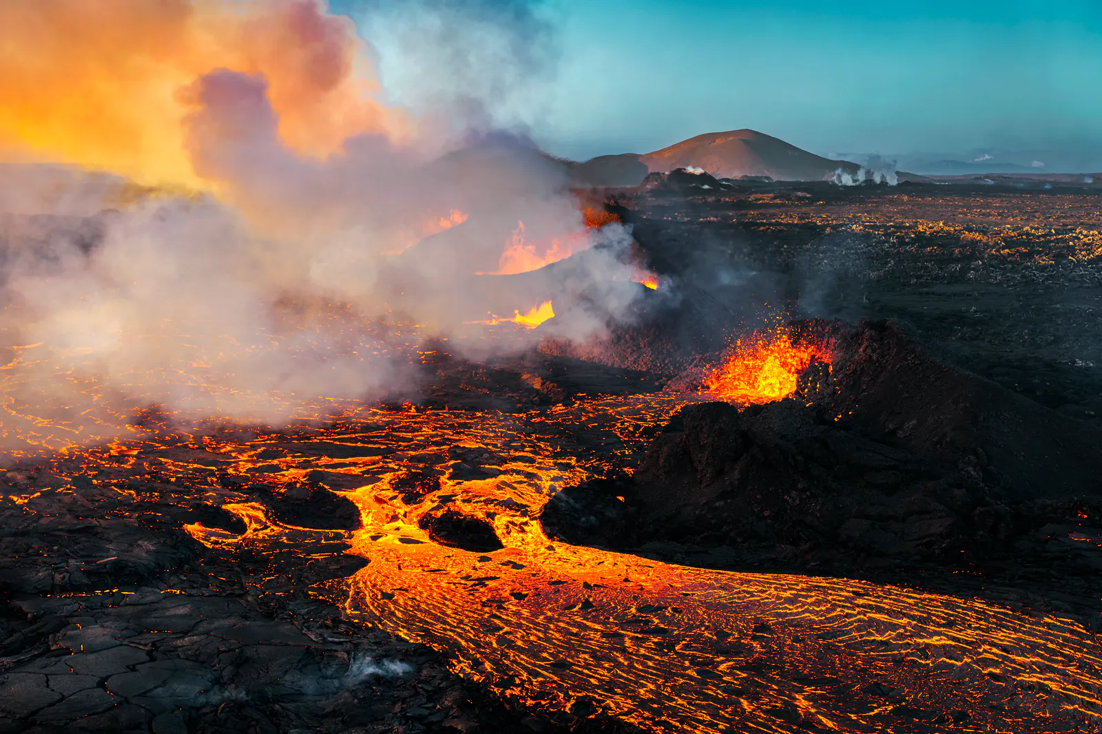
Let's Talk About the Volcano in Iceland About to Erupt
Is a volcano in Iceland about to erupt? Here’s what travelers should know about Svartsengi, Reykjanes activity, flights, safety, and the Blue Lagoon.
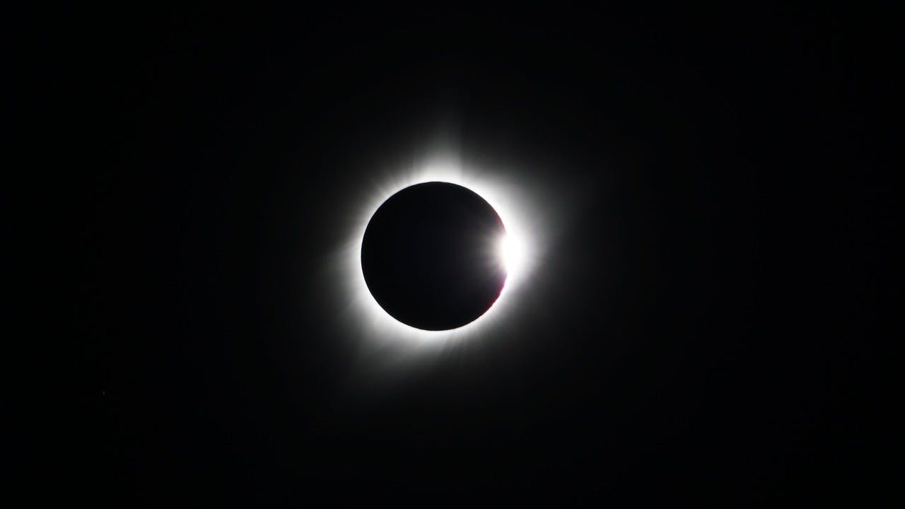
Guide to the Solar Eclipse 2026
Plan your trip to witness the Solar Eclipse 2026 in Iceland! Discover the best viewing spots, key times, safety tips, and travel advice for this rare celestial event.

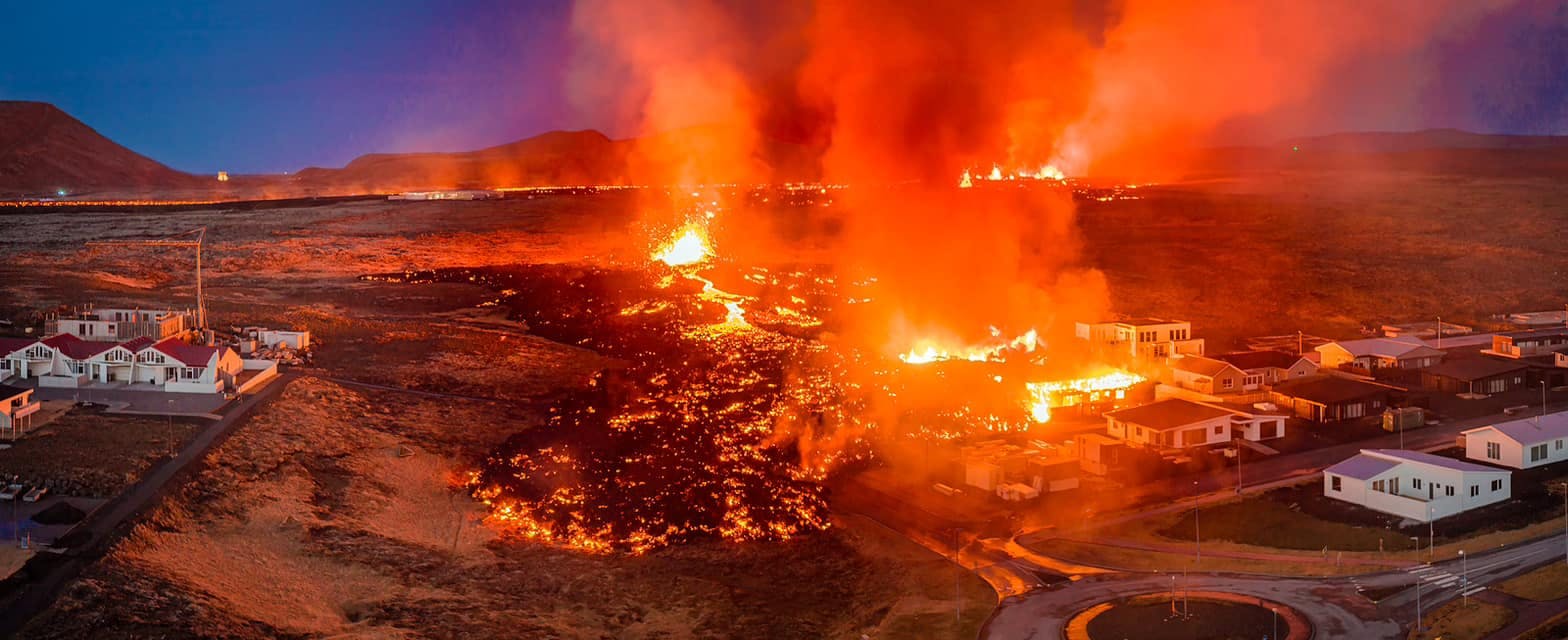
July 2026 updates on the Sundhnúkagígar Eruption in the Reykjanes Peninsula!
The current eruption in the Reykjanes Peninsula, is called Sundhnúkagígar Crater Row. See insights on the seismic activity and volcanic eruptions in the area!
Active Volcanoes in Iceland 2026
Active volcanoes aren't the same thing as active eruptions. A volcano can be considered active even when it is not ejecting ash, rock, gases and magma, so which are active in Iceland in 2026?

Top 10 Places To See the Northern Lights in Iceland
You can see the northern lights across the country, but some spots are more suitable than others. Find the best place to see the northern lights in Iceland.

Ice Caves From Reykjavik
Travel beyond the capital for a closer look at an ice cave under one of Iceland’s glaciers. If you can’t spare the time, experience Perlan’s ice cave in Reykjavik.