
A Guide to Krýsuvík, Iceland
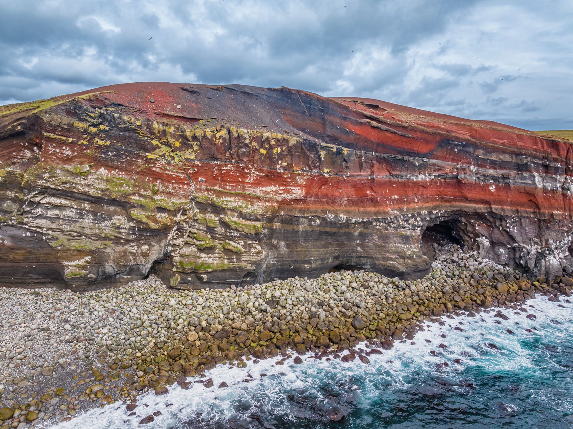
A lesser-known Icelandic gem, Krýsuvík is a volcanic and geothermal region on the Reykjanes Peninsula, around 40 minutes southwest of Reykjavík. The vast area encompasses steaming vents, mineral-stained hills, crater lakes, rugged ridges, historic lava fields, and the Seltún geothermal area. Together, these features make Krýsuvík one of the most accessible places to experience Iceland’s volcanic and geothermal landscapes.
What Is Krýsuvík?
The broad volcanic territory of Krýsuvík sits on the southern side of the Reykjanes Peninsula. In this area, the landscape shifts rapidly between volcanic ridges, lava fields, deep lakes, geothermal terrain, and coastal cliffs.
First-time visitors sometimes use Krýsuvík and Seltún interchangeably, but they are not the same place. Seltún is the main visitor site within Krýsuvík, known for its boardwalks, viewing platforms, steaming vents, and bubbling mud pools. However, it represents only one part of a much larger geological and historical area that extends southwards towards the Atlantic coast.
Why Is Krýsuvík Geothermally Active?
Krýsuvík owes its geothermal activity to its position within one of the active zones feeding the many volcanoes in Iceland. Reykjanes Peninsula forms the landward extension of the Mid-Atlantic Ridge, where the North American and Eurasian tectonic plates are moving apart. This movement creates cracks in the Earth’s crust, allowing heat and volcanic gases to rise closer to the surface.
Rainwater and melting snow seep through these cracks and are heated deep underground by hot rock. As the water rises again, it appears at the surface as hot springs, steam vents, and bubbling mud pools. Volcanic gases also react with the surrounding rock, gradually turning it into soft clay. This is what helps create the colourful, boiling mud pots and hissing fumaroles found around Krýsuvík.
To explore the volcanic forces behind landscapes such as Krýsuvík, visit Perlan’s Volcano Show in Reykjavík. The immersive exhibition uses footage and sound to reveal how eruptions, magma, and tectonic activity continue to shape Iceland.
The Legend of Krýsuvík
Like many Icelandic landscapes, Krýsuvík is tied to folklore. Local legend says the area takes its name from Krýsa, a woman who lived at Krýsuvík. Her neighbour Herdís lived farther east at Herdísarvík. Both women were believed to possess magical powers and became locked in a bitter dispute over the boundary between their lands.
Unable to settle their disagreement, Krýsa and Herdís are said to have placed curses on one another. Both later died, and traditional burial mounds associated with the women can still be found in the landscape. Their story adds another layer of mystery to a region already shaped by volcanic forces and dramatic scenery.
What to See and Do at Krýsuvík
A visit to Krýsuvík combines geothermal landscapes, volcanic lakes, rugged hiking trails, and historic remains preserved within old lava fields. With so many features close together, travellers can experience both Iceland’s geology and its cultural history in a single trip.
Explore the Seltún Geothermal Area
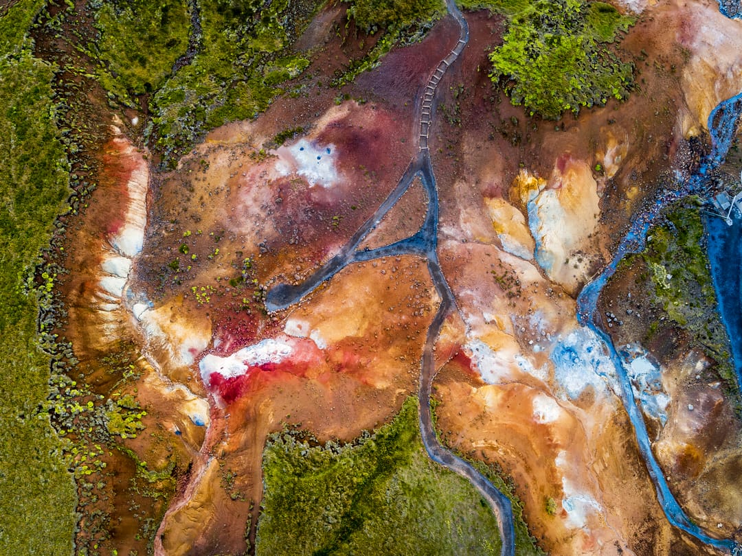
Seltún is the main visitor site within the Krýsuvík geothermal area, offering a close view of its active geothermal landscape. Wooden boardwalks and viewing platforms guide travellers past steam vents, fumaroles, and mud pools, protecting both visitors and the ground. Here, the air carries a strong sulphur smell, often compared to rotten eggs.
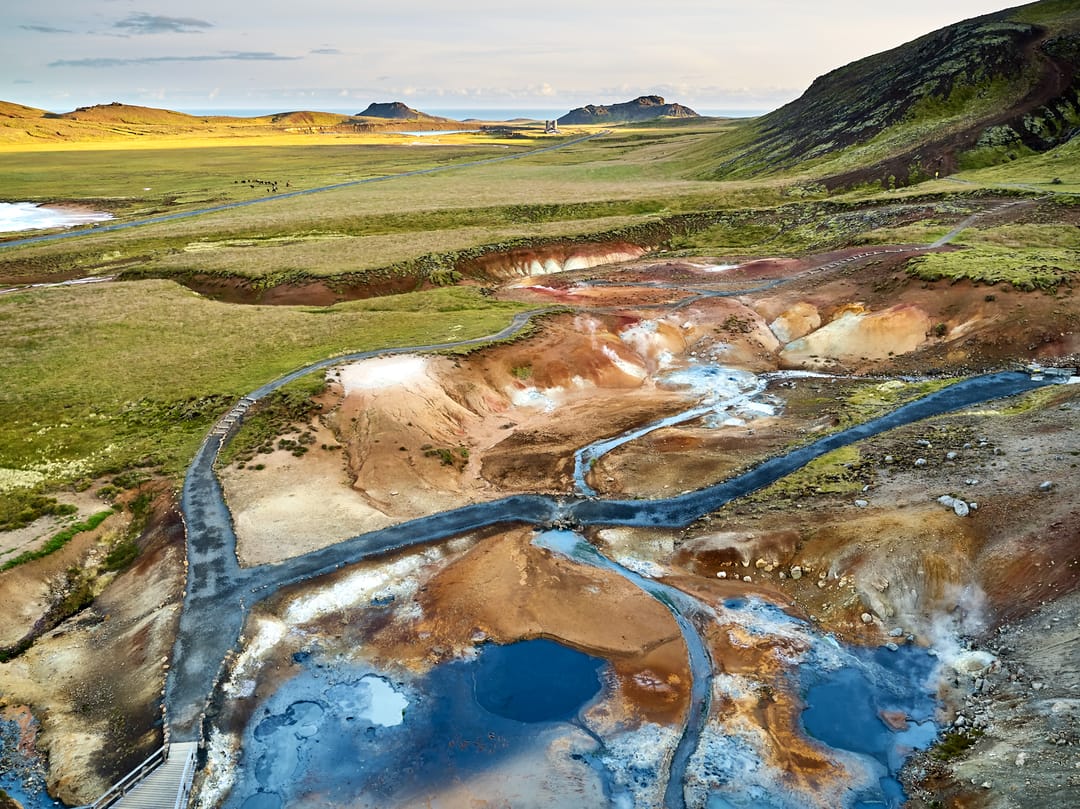
Yellow, red, and white mineral deposits colour the surrounding hills, making Seltún highly photogenic. However, visitors must remain on marked paths, as the ground beyond the boardwalks may conceal boiling water or superheated mud.
Visit Lakes and Craters
Krýsuvík features several bodies of water shaped by volcanic activity, led by the massive Lake Kleifarvatn. As the largest lake on the Reykjanes Peninsula, its deep blue waters are framed by volcanic ridges and dark shores.
In contrast, the nearby Grænavatn is a deep crater lake formed by a volcanic explosion. Its striking emerald-green colour comes from a mix of sulphur, minerals, and specialised algae. Nearby, you will also find the small, quiet lake of Gestastaðavatn and the twin explosion craters known as Augun (The Eyes).
Go Hiking
Beyond Seltún, the ridges and valleys of Krýsuvík offer several walking and hiking opportunities. For a short but steep climb, travellers can follow the route up Hverafjall, which rises above the geothermal area. From the summit, there are wide views over Seltún, Lake Kleifarvatn, Grænavatn, and the surrounding volcanic landscape.
More experienced hikers can explore longer routes across the Sveifluháls ridge. The terrain passes colourful geothermal slopes, old lava flow formations, and remote valleys. Conditions can be exposed and change quickly, so hikers should check the route and weather before setting out.
Discover the Historic Lava Landscape
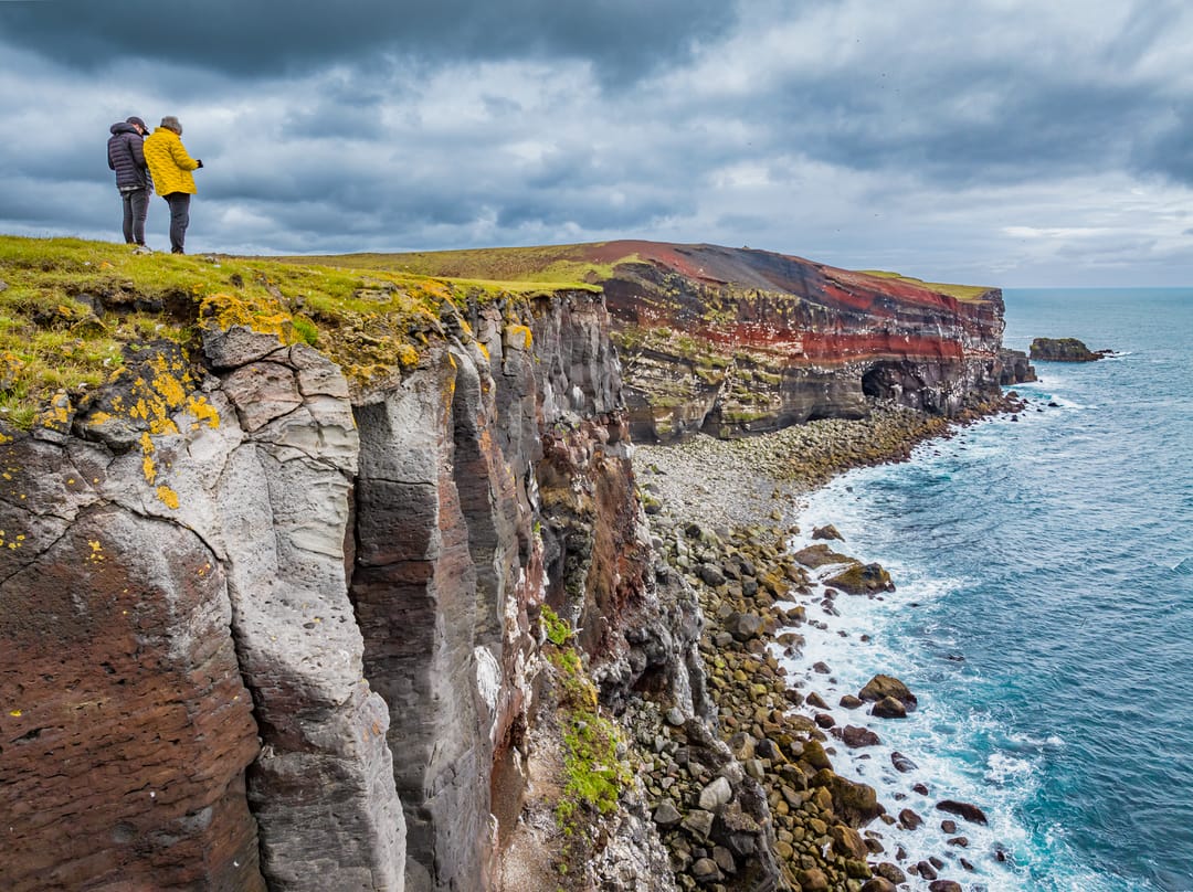
The southern part of Krýsuvík is marked by Ögmundarhraun, an extensive lava field formed during an eruption in 1151. Lava flowed from fissures near Núpshlíðarháls towards the coast, covering farmland and reshaping the landscape. Within the lava lies Húshólmi, a patch of older ground that the flow passed around. Remains of the former Krýsuvík farm survive here, including traces of buildings, a church, and turf-and-stone walls.
How to Get to Krýsuvík
From Reykjavík, Krýsuvík is around a 40- to 50-minute drive. Follow Route 41 towards Hafnarfjörður, then take Route 42 south through the volcanic landscape. The road passes Lake Kleifarvatn before reaching the car park at Seltún.
Route 42 is paved and generally suitable for standard two-wheel-drive vehicles. However, weather and road conditions can change quickly, particularly outside summer. Check current road conditions and closures before setting off.
Safety, Parking, and Facilities
Parking is available at Seltún, beside the main boardwalk. Visitors should remain on marked paths, as geothermal ground can be unstable and may conceal boiling water or mud. Boardwalks can also become slippery in rain, snow, or ice. Facilities are limited, so check current local information before travelling.
Best Time to Visit Krýsuvík
The good news is that the geothermal area is accessible throughout the year. However, the experience will change dramatically depending on the season.
- Summer (June–August): Summer is generally the easiest time to visit. Long daylight hours and milder weather provide better conditions for hiking along Sveifluháls and photographing the lakes, craters, and geothermal landscape.
- Spring and Autumn (April–May and September–October): These quieter seasons bring fewer visitors and softer light, which can highlight the mineral colours of the hillsides. However, temperatures are cooler, and the weather can change quickly.
- Winter (November–March): Snow creates a striking contrast with the dark lava fields, rising steam, and geothermal vents. Strong winds, snow, and ice may affect road access and trail safety.
Nearby Attractions
If you are planning to expand your itinerary to more of the Reykjanes Peninsula, several notable natural and historic sites sit within easy driving distance of the main geothermal zone:
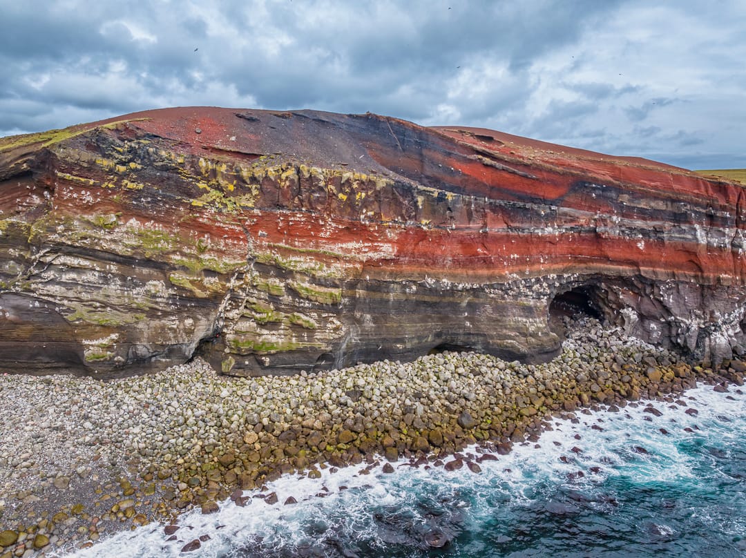
- Krýsuvíkurberg Cliffs: These extensive coastal cliffs rise above the Atlantic and support thousands of nesting seabirds during summer. The approach can be rough, so check current road and access conditions before visiting.
- Strandarkirkja: Legend says sailors caught in a storm vowed to build this historic church if they reached land safely.
- Brimketill Lava Rock Pool: West of Grindavík, this natural seawater pool was gradually carved into the lava shoreline by powerful waves and marine erosion.
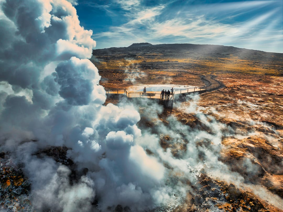
- Gunnuhver: Near the south-western tip of the peninsula, Gunnuhver is known for its steam vents, bubbling mud, and the ghost Gunna.
FAQs
No, Krýsuvík refers to the wider volcanic and geothermal region, encompassing lakes, lava fields, ridges, historic sites, and coastal landscapes. Seltún is the main geothermal visitor site within Krýsuvík, known for its boardwalks, mud pools, and steam vents.
There is no admission fee to visit Krýsuvík or explore the boardwalks at Seltún. Parking is available at the geothermal site, but visitors should check current signs for any applicable charges.
Allow around 30 to 60 minutes to explore Seltún. A broader visit including Lake Kleifarvatn, Grænavatn, and nearby viewpoints may take two to three hours, while longer hikes require additional time.
No, the geothermal water, steam, and mud can be dangerously hot, while the surrounding ground may be thin and unstable. Visitors must remain on marked paths and boardwalks.
Yes, Krýsuvík can be visited in winter when road and weather conditions allow. Snow can create a striking contrast with the steaming vents, but strong winds, ice, and poor visibility may make driving and walking unsafe.
Popular articles
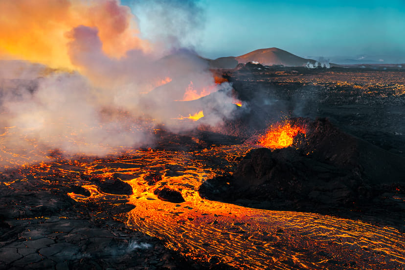
Let's Talk About the Volcano in Iceland About to Erupt
Is a volcano in Iceland about to erupt? Here’s what travelers should know about Svartsengi, Reykjanes activity, flights, safety, and the Blue Lagoon.
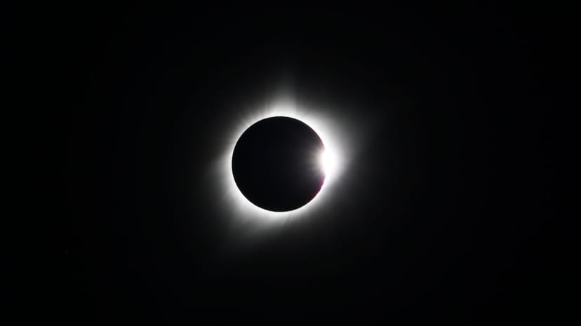
Solar Eclipse 2026 in Iceland | What Happened
Iceland experienced a total solar eclipse on August 12, 2026. Discover what happened in Reykjavík, eclipse times, totality locations and more.
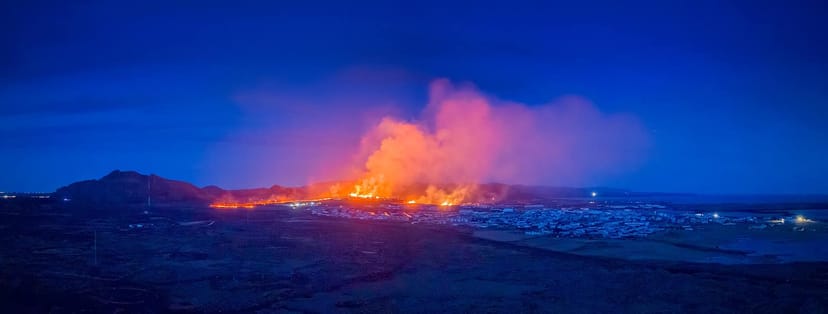
July 2026 updates on the Sundhnúkagígar Eruption in the Reykjanes Peninsula!
The current eruption in the Reykjanes Peninsula, is called Sundhnúkagígar Crater Row. See insights on the seismic activity and volcanic eruptions in the area!
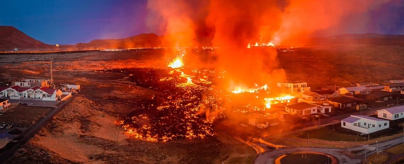
Active Volcanoes in Iceland 2026
Active volcanoes aren't the same thing as active eruptions. A volcano can be considered active even when it is not ejecting ash, rock, gases and magma, so which are active in Iceland in 2026?
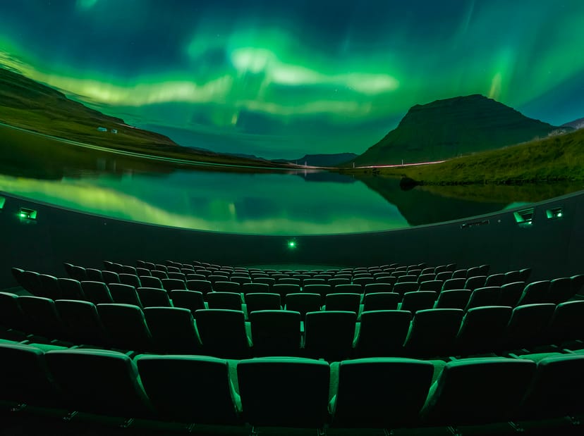
Top 10 Places To See the Northern Lights in Iceland
You can see the northern lights across the country, but some spots are more suitable than others. Find the best place to see the northern lights in Iceland.
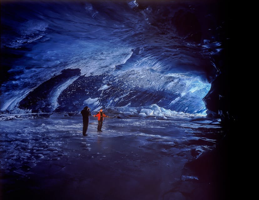
Ice Caves From Reykjavik
Travel beyond the capital for a closer look at an ice cave under one of Iceland’s glaciers. If you can’t spare the time, experience Perlan’s ice cave in Reykjavik.