
Guide to Þjórsárhraun
Roughly 8,700 years ago, a massive fissure in the Icelandic highlands unleashed the Great Þjórsá Lava (Þjórsárhraun). It remains the largest effusive lava flow on Earth since the end of the last Ice Age. This molten river traveled over 140 kilometers (87 miles) from the interior mountains to the Atlantic coast, reshaping the island's southern geography.
Today, much of the basalt is hidden beneath moss and farmland. Yet its significance remains. Þjórsárhraun is the literal bedrock of the southern plains and the foundation for the region's modern coastal towns.
What Is Þjórsárhraun?
Þjórsárhraun is a massive prehistoric lava field located in South Iceland. Formed about 8,700 years ago, it is classified as the largest “effusive” lava flow since the end of the last Ice Age. This means that molten rock flows steadily across the surface rather than erupting aggressively.
The scale of the lava field is impressive, extending approximately 970 square kilometers (375 square miles). It consists of an estimated 25 cubic kilometers (6 cubic miles) of basaltic rock. Much of the field is now obscured by centuries of sediment and vegetation. However, its footprint stretches from the central highlands all the way to the coast, even continuing for several kilometers underwater.
The Formation and Geology
The Þjórsárhraun eruption didn't come from a single volcanic cone. Instead, it surged from the Veidivötn fissure swarm, part of the massive Bárðarbunga volcanic system. Fluid and runny, the lava's exceptionally low viscosity allowed it to move at high speeds across the landscape.
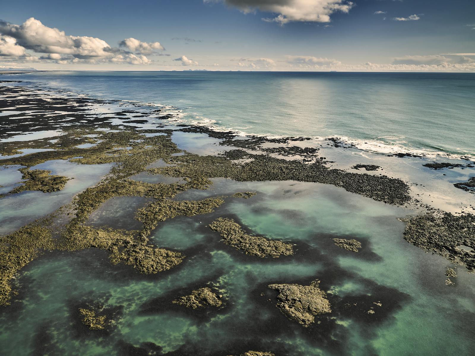
As the flow’s exterior cooled, it formed a hardened crust that acted as natural insulation. This thermal shield kept the interior molten, letting it travel roughly 140 kilometers (87 miles). The lava filled deep river valleys before finally spilling into the Atlantic Ocean. When the red-hot basalt struck the cold seawater, it continued to flow along the seabed, creating the jagged Skerjagarður reefs.
What to See on the Þjórsárhraun Lava Field
Largely covered by soil and vegetation, the Þjórsárhraun doesn’t look like the typical Icelandic lava field. Here, you won’t see a black jagged expanse like the younger lava fields of the Reykjanes Peninsula. Instead, look closer at the subtle shaping of the landscape and the coastal villages on its edge.
- Stokkseyri and Eyrarbakki: These fishing villages are built directly on the cooled lava field. From the shoreline here, you can see the dark basalt shelves where the lava met the Atlantic many millennia ago.
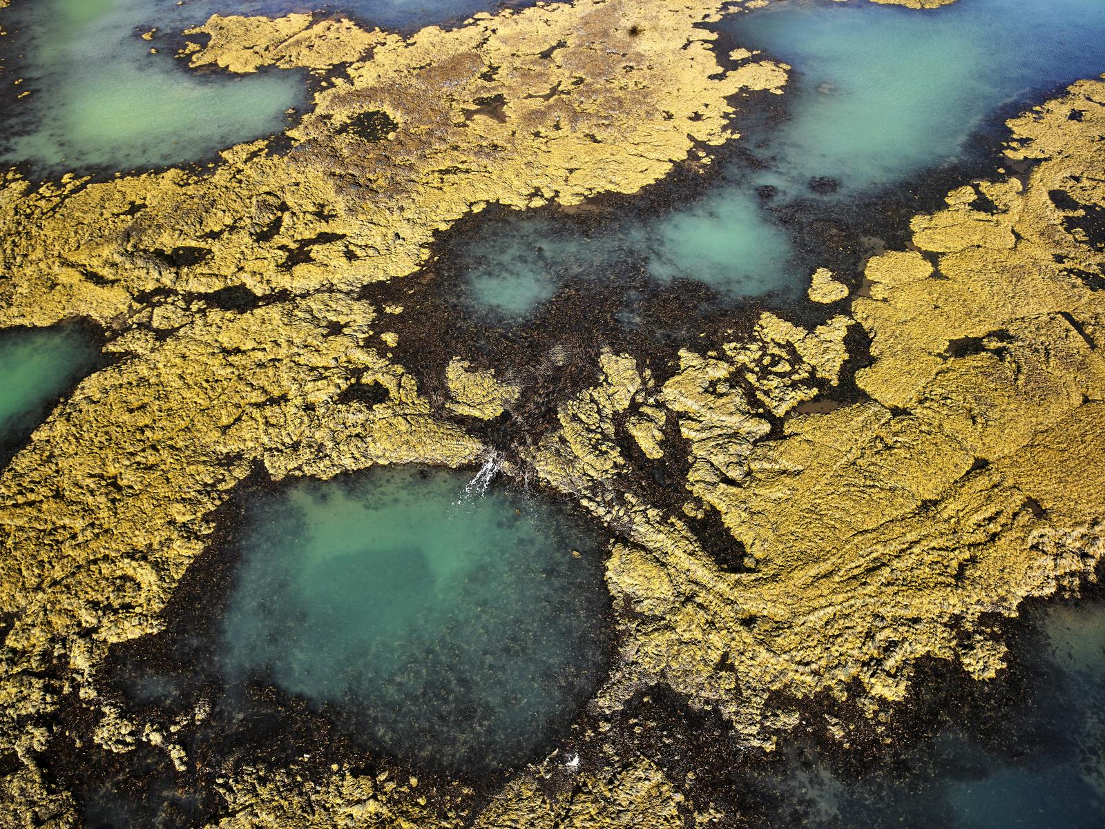
- The Hólar (Knolls): In the Flói region between the towns of Selfoss and Stokkseyri, the landscape is dotted with small, grassy hillocks. These are "hummocks," undulations in the lava surface that were preserved as the flow cooled and later covered by sediment.
- The Skerjagarður Reefs: Looking out from the shore at Stokkseyri, the breaking waves mark the Skerjagarður. These are the submerged remains of the lava flow, acting as a natural breakwater that has protected this stretch of coastline for millennia.
How to Visit Þjórsárhraun
The most accessible way to experience the Þjórsárhraun is via the Ring Road (Route 1) heading east from Reykjavik. After crossing the Hellisheiði plateau, the road descends into the vast, flat southern plains. Here, you’re on the surface of the lava field itself.
To see the coastal sections, turn south onto Route 33 (Gaularásvegur) toward Eyrarbakki or Route 34 (Eyrarbakkavegur) toward Stokkseyri. The drive from Reykjavik to the heart of the lava field takes approximately one hour.
Learning About the Great Þjórsá Lava
The Þjórsárhraun serves as enduring proof of the massive scale of Icelandic geology. Despite originating from an eruption nearly 9,000 years ago, this massive lava field forms the very foundation upon which the South Coast is built. It played a role in shaping various landscapes: from Flói’s fertile farmsteads to the protective reefs of the Atlantic.
To understand how Þjórsárhraun fits into Iceland´s broader geological story, visit the Forces of Nature exhibition at Perlan. Through high-tech simulations and immersive displays, witness the power of nature as it continues to build and rebuild this island.
FAQs About Þjórsárhraun
Where is Þjórsárhraun located?
The Þjórsárhraun lava field is located in South Iceland. It stretches from the central highlands near the Veidivötn lakes, following the Þjórsá and Hvítá rivers across the southern lowlands.
Is Þjórsárhraun still active?
No, the eruption that created Þjórsárhraun occurred roughly 8,700 years ago and was a singular prehistoric event. While the Bárðarbunga volcanic system remains one of Iceland’s most active, Þjórsárhraun is cold and dormant.
Can you walk on Þjórsárhraun?
Yes, but you likely won’t realize you're doing it. You can walk on it easily in the coastal towns of Stokkseyri and Eyrarbakki, which are built directly on the lava.
What is the largest lava field in the world?
In terms of volume, Þjórsárhraun is the largest effusive lava flow on Earth since the end of the last Ice Age. However, the Eldgjá eruption (934 AD) produced more total material, and the Eldhraun field is the largest ever recorded.
Where are the lava fields in Iceland?
Lava fields cover about 10% of Iceland’s surface. The most prominent fields are found along the Reykjanes Peninsula, the Snæfellsnes Peninsula, and the South Coast.
What is the best time to visit the lava fields in Iceland?
Lava fields are accessible year-round, but summer (June–August) is best for seeing the green moss and hiking the trails safely. Walking off-path is more dangerous in winter, but the season offers a striking contrast between black rock and white snow.
Popular articles
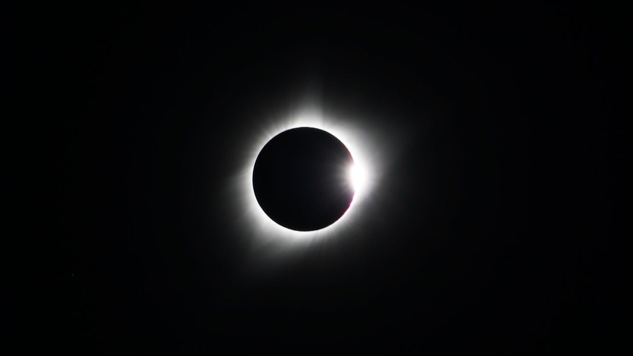
Guide to the Solar Eclipse 2026
Plan your trip to witness the Solar Eclipse 2026 in Iceland! Discover the best viewing spots, key times, safety tips, and travel advice for this rare celestial event.

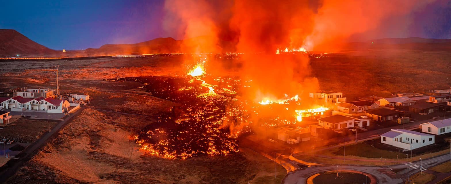
July 2026 updates on the Sundhnúkagígar Eruption in the Reykjanes Peninsula!
The current eruption in the Reykjanes Peninsula, is called Sundhnúkagígar Crater Row. See insights on the seismic activity and volcanic eruptions in the area!
Active Volcanoes in Iceland 2026
Active volcanoes aren't the same thing as active eruptions. A volcano can be considered active even when it is not ejecting ash, rock, gases and magma, so which are active in Iceland in 2026?

Top 10 Places To See the Northern Lights in Iceland
You can see the northern lights across the country, but some spots are more suitable than others. Find the best place to see the northern lights in Iceland.

Ice Caves From Reykjavik
Travel beyond the capital for a closer look at an ice cave under one of Iceland’s glaciers. If you can’t spare the time, experience Perlan’s ice cave in Reykjavik.