
Torfajökull Volcano
In 1477, Iceland saw its largest rhyolite eruption in over a millennium. It came from the Torfajökull (pronounced “Toor-va-yo-kytl) volcano.
A Story Written in Fire
North of Mýrdalsjökull glacier, Torfajökull rests in a remote area of South Iceland. Over a thousand years ago, Icelandic settlers passed through steaming valleys and multicolored mountains here. They called the area "Torfi's Glacier," after a man named Torfi Jónsson who, according to legend, may have hidden there during a plague.
This might be a legend, but the volcano is real and very much alive. One of the most active geothermal zones in Iceland today is inside the area including the famous Landmannalaugar.
What Is Torfajökull?
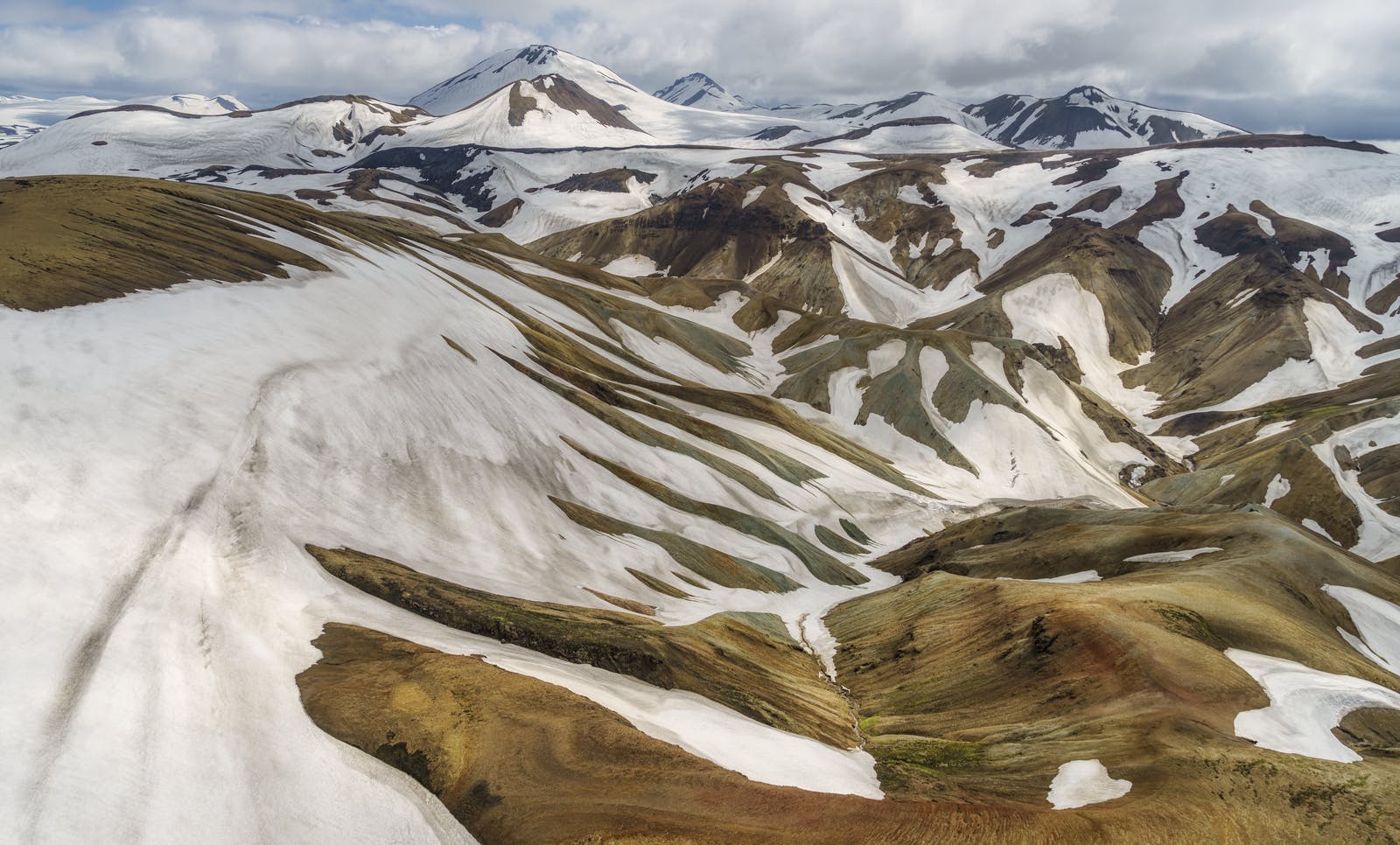
Torfajökull is a glacier located in the centre of a large volcanic system, the Torfajökull Volcano. It includes a huge caldera, lava flows, geothermal areas, and hot springs.
The volcano lies in a rift zone where tectonic plates pull apart. This allows magma to rise close to the surface.
The caldera is about 18 km (11 miles) wide. It was formed by past eruptions and the collapse of the volcano's center. Although sometimes described as a crater, the feature is actually a type of sinkhole as it is formed through subsidence or collapse rather than an explosion or impact.
Fun Facts
- Location: South Iceland, north of Mýrdalsjökull glacier
- Last eruption: Erupted in 1477
- Volcano type: Rhyolitic with basalt interaction
- Height: 1,250 meters (4,100 feet)
- Torfajökull caldera: About 18 km (11 miles) wide
- Features: Geothermal activity, lava flows, hot springs, glacier
Eruptions That Changed Iceland
Around the year 870, a powerful eruption from Torfajökull blanketed the entire island in ash. This layer became a vital reference point, helping archaeologists date many artifacts from Iceland’s early settlement period.
The eruption in 1477 was another major event. It was part of a rare mixed eruption involving both basalt and rhyolite magma. This means that two different magma chambers were involved. The eruption spread ash and lava across a large area.
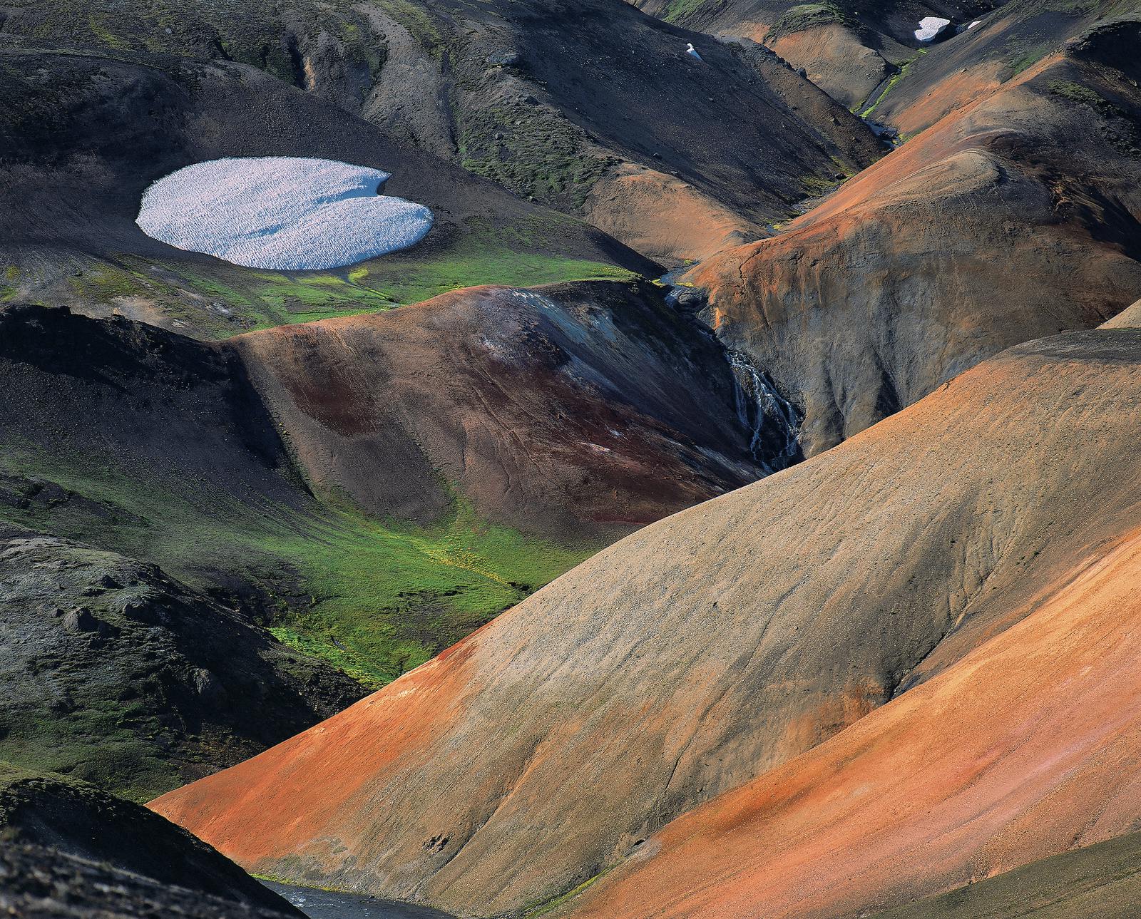
A Geothermal Wonderland
Torfajökull is rich in geothermal activity. High-temperature areas produce steam vents, bubbling mud pools, and sulfur deposits.
It is easy to spot from a distance because of its colorful rhyolite mountains. These colors - red, yellow, green, blue, and pink hues - come from chemical changes caused by heat and water.
Hot springs are scattered throughout the region. Some are safe to bathe in, while others are too hot.
A Living Landscape In Motion
Torfajökull gives scientists a view into Iceland’s volcanic system. The presence of two magma chambers is rare. It shows how complex volcanic systems can be.
It’s also a reminder of how the land continues to change. The area is shaped by both ancient and recent volcanic events.
Visiting Torfajökull
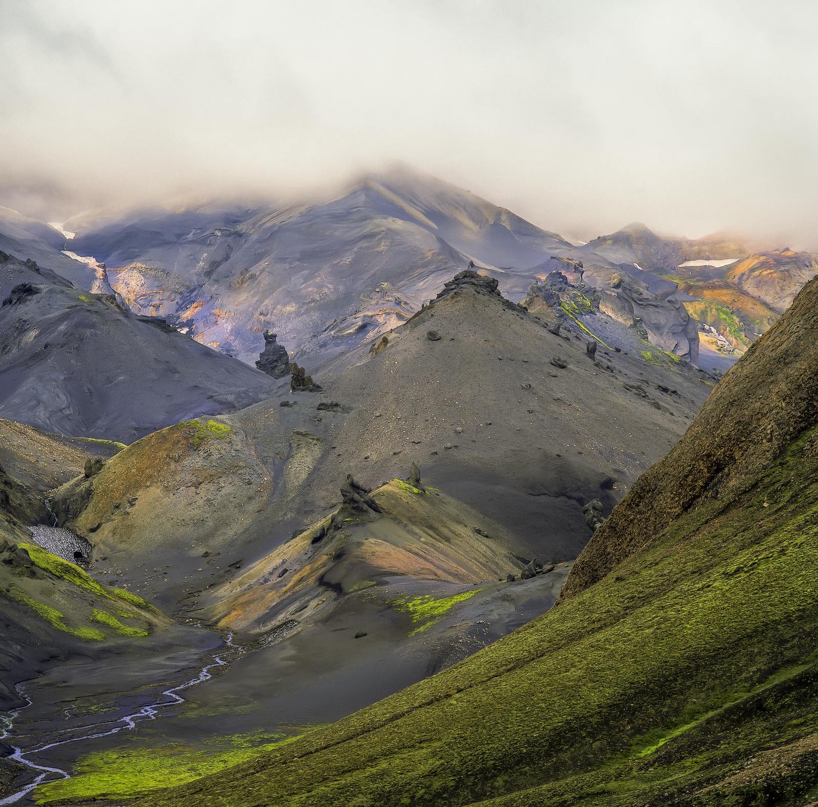
Torfajökull is one of those places that feels like another planet. It’s way out in the highlands of South Iceland, and you can only get there in summer, with a 4x4 vehicle. There are no towns or shops, and barely any cell signal. Just you and the wild.
If you go, you’ll need to bring everything: food, water, warm clothes, and a good map. But the trip is worth it. As you drive in, the landscape changes. Black lava stretches for miles. Steam rises from the ground. Lava flows and geothermal steam mark the landscape.
You are walking through a place shaped by ancient eruptions and deep heat below the surface. It’s quiet, raw, and completely unforgettable.
Tips for Visitors
- Only travel in summer
- Use a 4x4 vehicle
- Check weather and road conditions
- Stay on marked trails
- Do not bathe in unknown hot springs
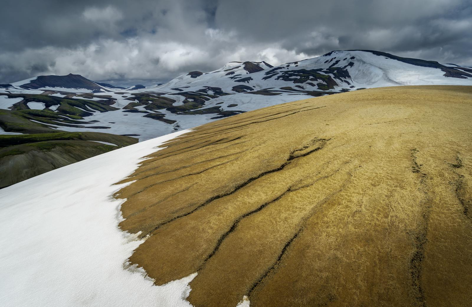
Hiking in the Area
This region is a favorite for hikers, particularly the Landmannalaugar area on Torfajökull’s northern edge, known for its scenic trails, colorful landscapes, and geothermal bathing spots.
Popular hikes include:
- Landmannalaugar to Hrafntinnusker trail
- Brennisteinsalda hiking trail
- Around the caldera rim.
The trails take you through lava fields, steaming valleys, and vibrant hills.
Learn More About Torfajökull Without Going There
At Perlan, you can learn more about Iceland’s volcanic systems and see how they shape the land. From magma chambers to geothermal energy, Perlan helps you explore the science behind Iceland’s fire and ice.
FAQs
Where is Torfajökull volcano located?
Torfajökull is in the Central Highlands, just north of the Mýrdalsjökull glacier, in a remote geothermal area.
When did Torfajökull volcano last erupt?
Its most recent eruption was in the year 1477, involving both rhyolite and basalt magma.
What makes Torfajökull unique among Icelandic volcanoes?
It has a rare mix of magma types and is part of one of the country’s most active geothermal zones.
Can you hike in the Torfajökull area?
Yes, it's a popular hiking destination, especially around Landmannalaugar, with scenic trails and hot springs.
What is the Torfajökull caldera?
It’s a large volcanic crater about 18 km wide, formed by past eruptions and the collapse of the volcano's center.
Is it safe to visit Torfajökull?
Yes, in summer and with the right gear. You’ll need a 4x4 vehicle, supplies, and awareness of geothermal hazards.
Popular articles
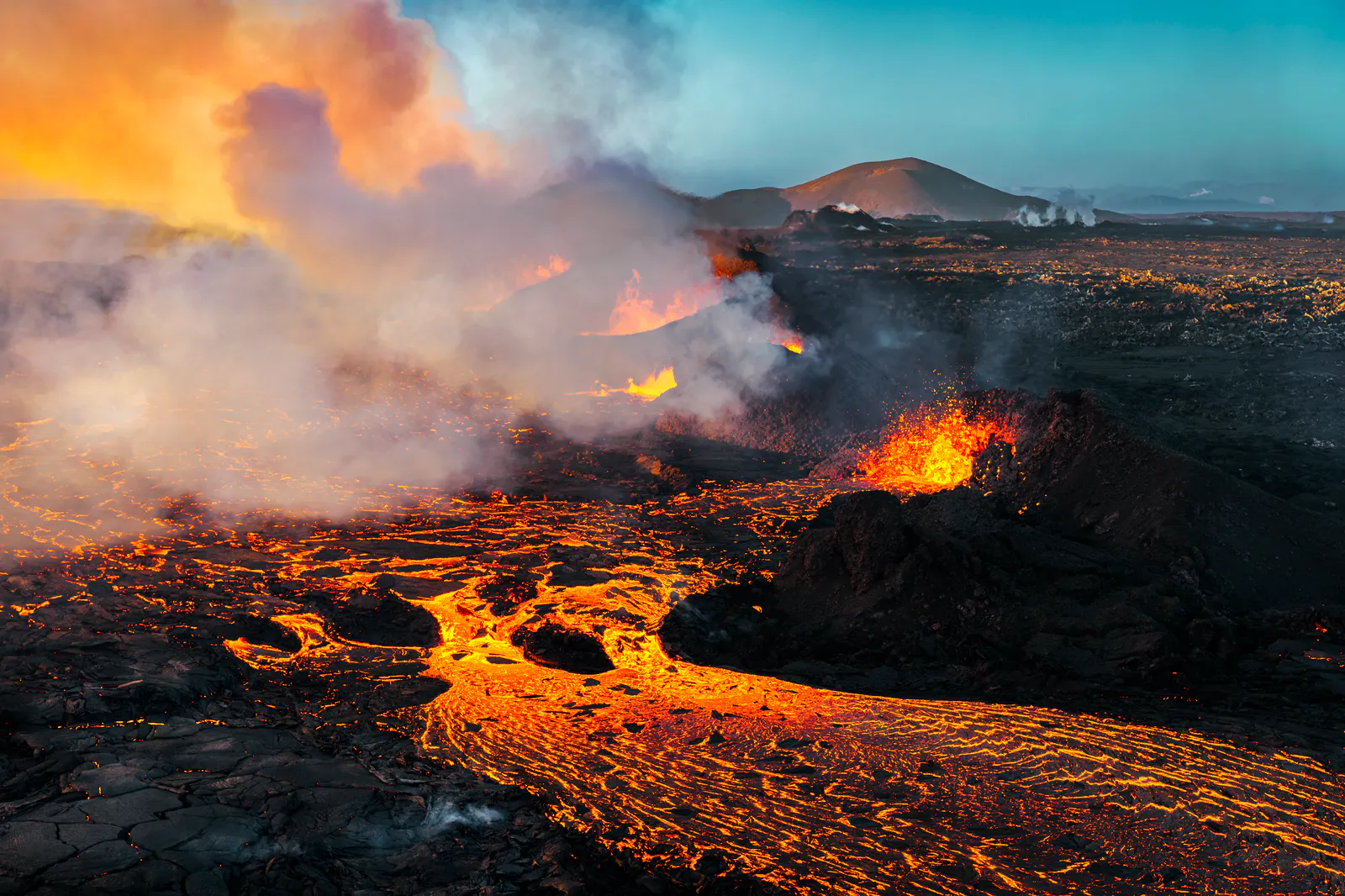
Let's Talk About the Volcano in Iceland About to Erupt
Is a volcano in Iceland about to erupt? Here’s what travelers should know about Svartsengi, Reykjanes activity, flights, safety, and the Blue Lagoon.
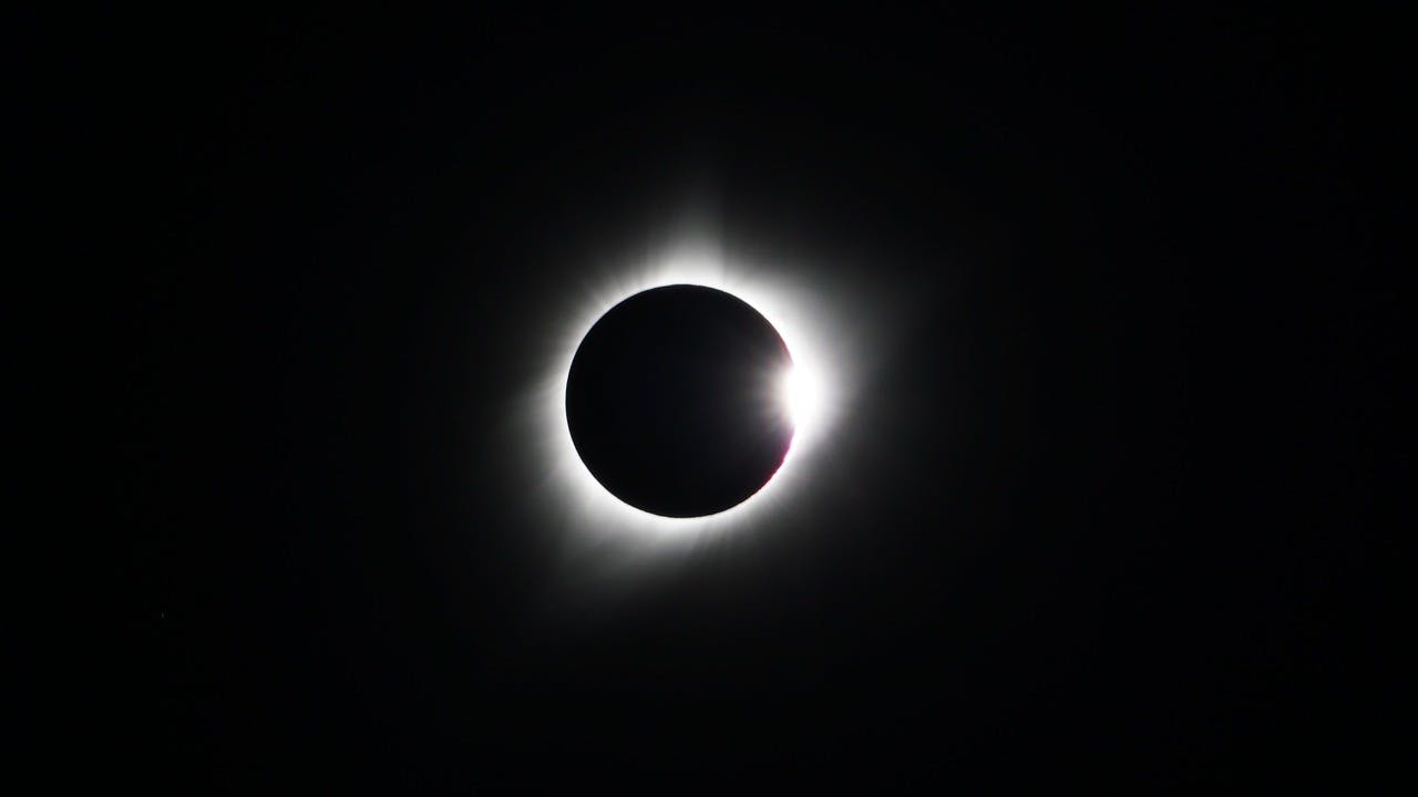
Guide to the Solar Eclipse 2026
Plan your trip to witness the Solar Eclipse 2026 in Iceland! Discover the best viewing spots, key times, safety tips, and travel advice for this rare celestial event.

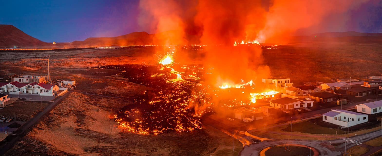
July 2026 updates on the Sundhnúkagígar Eruption in the Reykjanes Peninsula!
The current eruption in the Reykjanes Peninsula, is called Sundhnúkagígar Crater Row. See insights on the seismic activity and volcanic eruptions in the area!
Active Volcanoes in Iceland 2026
Active volcanoes aren't the same thing as active eruptions. A volcano can be considered active even when it is not ejecting ash, rock, gases and magma, so which are active in Iceland in 2026?

Top 10 Places To See the Northern Lights in Iceland
You can see the northern lights across the country, but some spots are more suitable than others. Find the best place to see the northern lights in Iceland.

Ice Caves From Reykjavik
Travel beyond the capital for a closer look at an ice cave under one of Iceland’s glaciers. If you can’t spare the time, experience Perlan’s ice cave in Reykjavik.