
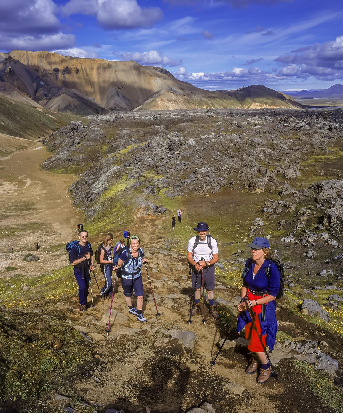
Laugavegur: The Hike in Landmannalaugar
If Iceland is on your travel radar, you might have heard of Laugavegur, one of the world’s most scenic hiking trails. Located in the Landmannalaugar region of the Icelandic highlands, this 55-kilometre trail takes you through otherworldly landscapes, from colourful rhyolite mountains and geothermal fields to lush valleys and glacial rivers. This hike offers an unforgettable journey into Iceland’s natural beauty.
Ready to explore? Let’s break it down: when to hike Laugavegur, what you'll see, transportation options, fitness requirements, and more.
When Can You Hike the Laugavegur Trail?
The Laugavegur trail is best hiked between mid-June and late August, which is Iceland's short summer season. During this time, the weather can be mild (by Icelandic standards), the trails are accessible, and the mountain huts along the route are open.
Outside this period, the trail is covered in snow, making it treacherous and inaccessible for most hikers unless you have a specialised guide for winter trekking. If you're planning your trip, aim for July or August for the most reliable weather.
What Will You See Along the Laugavegur Trail?
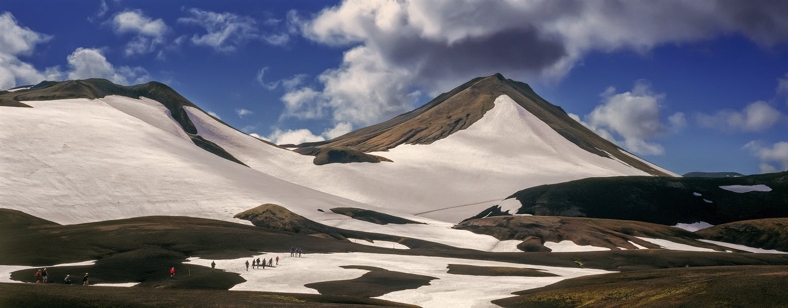
Landmannalaugar’s Rhyolite Mountains
The trail starts in Landmannalaugar, famous for its colourful mountains that shimmer in shades of red, yellow, green, and blue. It’s truly like stepping into a painting!
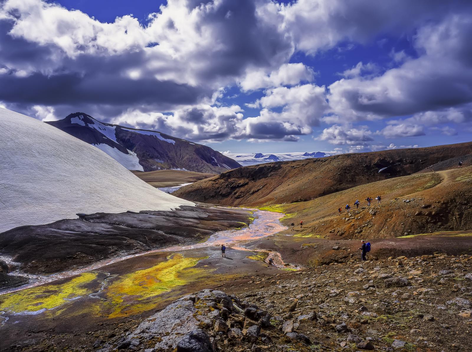
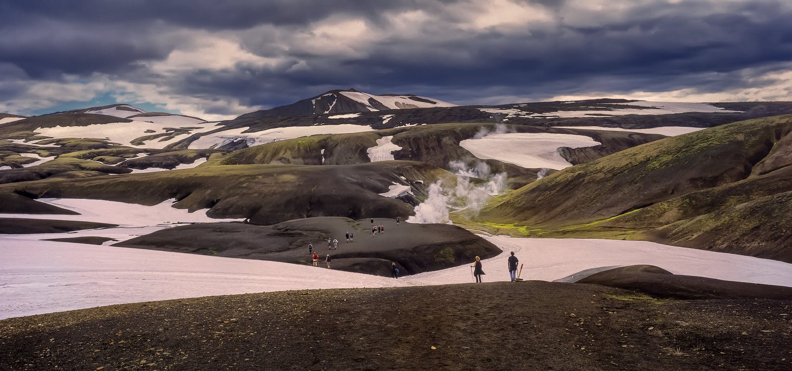
Hot Springs and Geothermal Activity
You’ll pass by steaming hot springs and bubbling mud pools, a reminder of Iceland’s volcanic geology.
Þórsmörk Valley
The trail ends in this lush, green valley, surrounded by glaciers and rugged peaks. It’s a fitting finale to a spectacular hike. Some say this is the most special place in the highlands.
How to Get to Landmannalaugar and Back?
Getting to Landmannalaugar requires some planning, as it’s in a remote area of Iceland.
Buses to Landmannalaugar
Several companies operate highland buses that connect Reykjavík to Landmannalaugar during the summer. These buses are specifically designed to navigate the rough F-roads (mountain roads).
Guided Tours
Consider booking a guided tour if you’d rather leave the logistics to someone else. Many companies offer multi-day hiking packages, including transportation, food, and accommodation.
Self-Drive
You can drive to Landmannalaugar, but you’ll need a 4x4 vehicle approved for F-roads. These roads are rugged, with river crossings that can be tricky for inexperienced drivers.
After finishing the hike in Þórsmörk, you can catch a bus back to Reykjavík or arrange for pickup by your tour operator.
Fitness Level: Can Anyone Hike the Laugavegur Trail?
While the Laugavegur trail is considered moderate to challenging, it’s doable for most people with a decent fitness level. Only you know your limits.
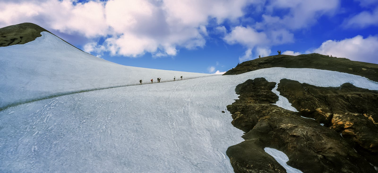
- Daily Distances: The hike is 55 kilometres (34 miles) long, typically completed over 4 days. That’s about 12-15 kilometres (7-9 miles) of hiking per day.
- Elevation Changes: Expect some steep ascents and descents, particularly on the first day where the elevation reaches 1200m above sea level.
- Trail Conditions: The terrain varies from rocky paths and muddy trails to river crossings and sandy plains. Good hiking boots and waterproof gear are a must!
- If you’re an experienced hiker, you may be able to complete the trail in 2-3 days. However, for most people, 4 days allows for a comfortable pace and plenty of time to enjoy the scenery.
Accommodation: Where Do You Stay on the Trail?
Mountain Huts
The Icelandic Touring Association maintains mountain huts along the Laugavegur trail. These huts are equipped with bunk beds, cooking facilities, and shared bathrooms. However, they’re extremely popular, so booking months in advance is essential to guarantee a bed.
Camping
If you prefer to sleep under the stars, you can camp at designated campgrounds near the huts. You’ll need to carry your own gear, but it’s a budget-friendly option that allows you to immerse yourself in nature.
How Long Does the Hike Take?
As mentioned earlier, the Laugavegur trail is typically completed in 4 days. Here’s a rough breakdown of the itinerary:
Day 1: Landmannalaugar to Hrafntinnusker
Distance: 12 kilometres (7.5 miles)
Time: 4-5 hours
Day 2: Hrafntinnusker to Álftavatn
Distance: 12 kilometres (7.5 miles)
Time: 4-5 hours
Day 3: Álftavatn to Emstrur
Distance: 15 kilometres (9.3 miles)
Time: 6-7 hours
Day 4: Emstrur to Thórsmörk
Distance: 16 kilometres (10 miles)
Time: 6-7 hours
The total hike takes around 20-24 hours of walking, depending on your pace and breaks.
Essential Tips for Hiking Laugavegur
Dress in Layers
Icelandic weather is unpredictable. Bring waterproof and windproof layers, as well as warm clothing.
Pack Light, but Smart
Only carry the essentials, but don’t forget a first-aid kit, a charged mobile phone, food, and ample water.
Check the Weather
Always check the forecast before setting out, and be prepared to adjust your plans if conditions turn dangerous. Never underestimate Icelandic weather conditions.
FAQ
Is it possible to hike Laugavegur in winter?
It’s not recommended unless you have an experienced guide and are equipped for winter conditions. Snow and ice make the trail dangerous.
Are there food options along the trail?
There are no stores or restaurants on the trail. You’ll need to bring your own food or arrange for meal packages if staying in huts.
Do I need to book mountain huts in advance?
Mountain huts fill up quickly, especially in peak season. Book as early as possible.
What gear is essential for the hike?
Good hiking boots, waterproof clothing, a warm sleeping bag, a backpack, and river-crossing shoes are must-haves.
Can I hike Laugavegur solo?
Yes, but be sure to leave your travel plan with someone and stay updated on weather conditions.
Are there guided tours available?
Many tour operators offer guided hikes with transportation, meals, and accommodation.
Popular articles
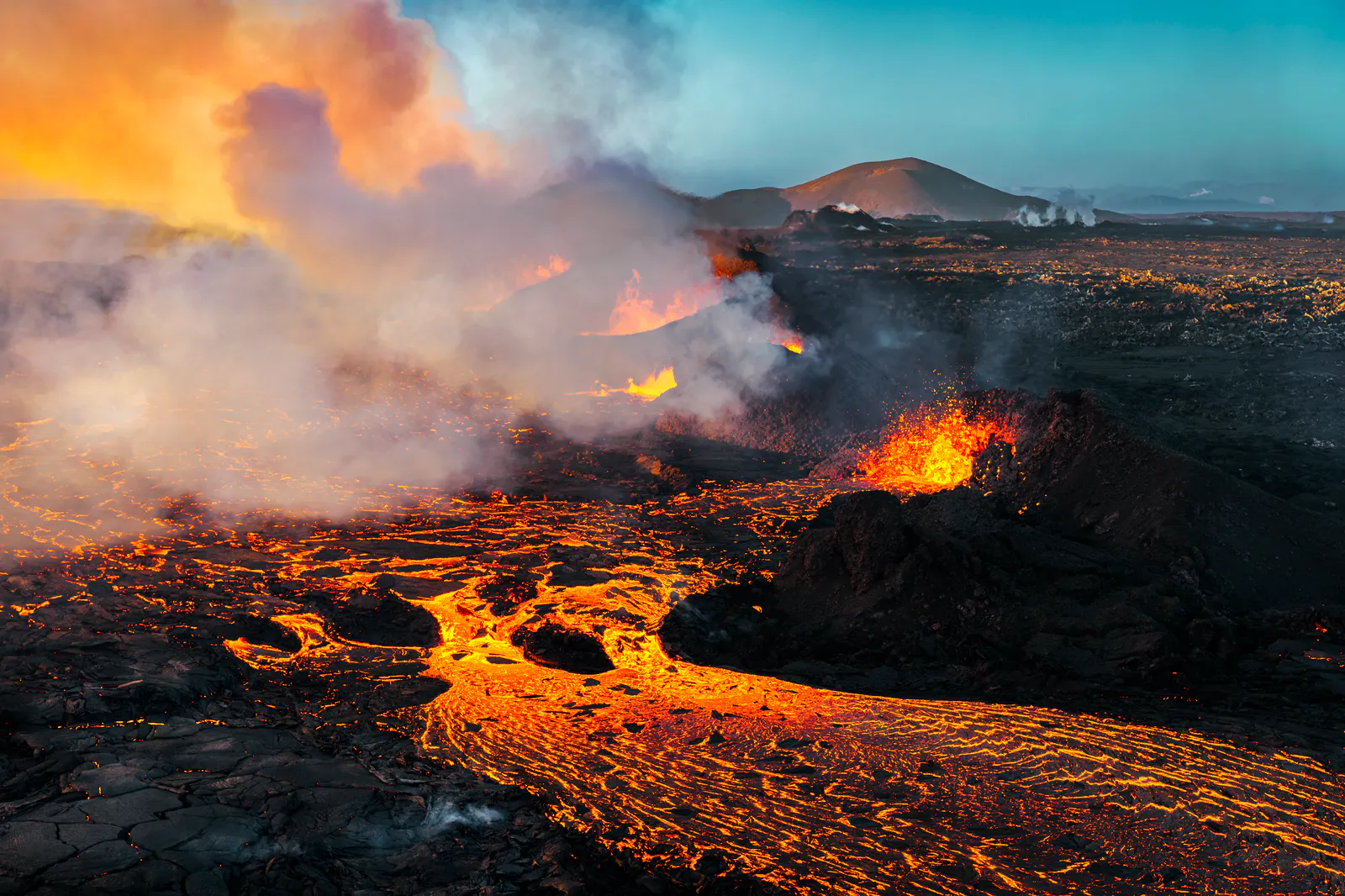
Let's Talk About the Volcano in Iceland About to Erupt
Is a volcano in Iceland about to erupt? Here’s what travelers should know about Svartsengi, Reykjanes activity, flights, safety, and the Blue Lagoon.
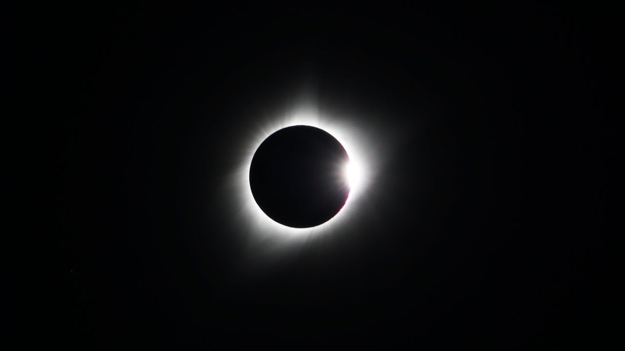
Guide to the Solar Eclipse 2026
Plan your trip to witness the Solar Eclipse 2026 in Iceland! Discover the best viewing spots, key times, safety tips, and travel advice for this rare celestial event.

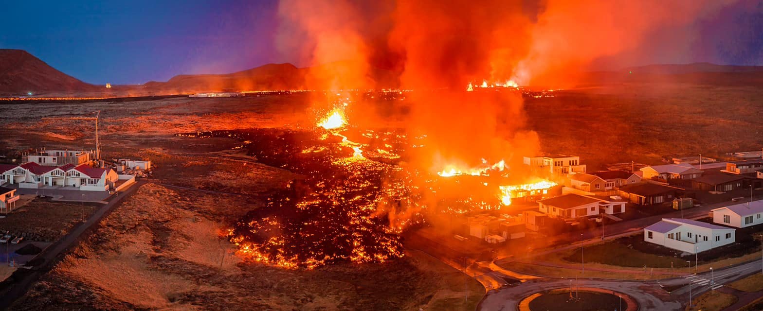
July 2026 updates on the Sundhnúkagígar Eruption in the Reykjanes Peninsula!
The current eruption in the Reykjanes Peninsula, is called Sundhnúkagígar Crater Row. See insights on the seismic activity and volcanic eruptions in the area!
Active Volcanoes in Iceland 2026
Active volcanoes aren't the same thing as active eruptions. A volcano can be considered active even when it is not ejecting ash, rock, gases and magma, so which are active in Iceland in 2026?

Top 10 Places To See the Northern Lights in Iceland
You can see the northern lights across the country, but some spots are more suitable than others. Find the best place to see the northern lights in Iceland.

Ice Caves From Reykjavik
Travel beyond the capital for a closer look at an ice cave under one of Iceland’s glaciers. If you can’t spare the time, experience Perlan’s ice cave in Reykjavik.