
Eldgjá is Iceland’s Very Hidden Canyon
Tucked deep in Iceland’s highlands is Eldgjá — the world’s largest volcanic canyon. Once the site of a massive eruption, this remote wonder offers hikers and geology lovers dramatic views, ancient lava fields, and almost complete solitude.
A Catastrophic Eruption
In the year 939 AD, Eldgjá’s volcano erupted with unbelievable force. Around 18 cubic kilometers of lava flowed from a long fissure, covering 800 square kilometers (about 310 square miles) in black basalt, or roughly the size of 114,000 soccer fields.
Eldgjá is a part of the Katla volcanic system. The Eldgjá eruption had global consequences. Ash and gas likely caused temperatures to drop in parts of Europe and Asia for years afterward. While Icelandic records about the effects of the eruption are sparse, paleoclimate proxies and historical records from Europe, the Islamic world, and China describe widespread impacts on the Northern Hemisphere’s climate, resulting in cold winters and food crises across Eurasia.
The eruption triggered crop failure and famine. It helped usher in a mini Ice Age, wiping out forests and farmland in Iceland. For the Norse settlers, who had only recently arrived on the island, the destruction must have been terrifying.
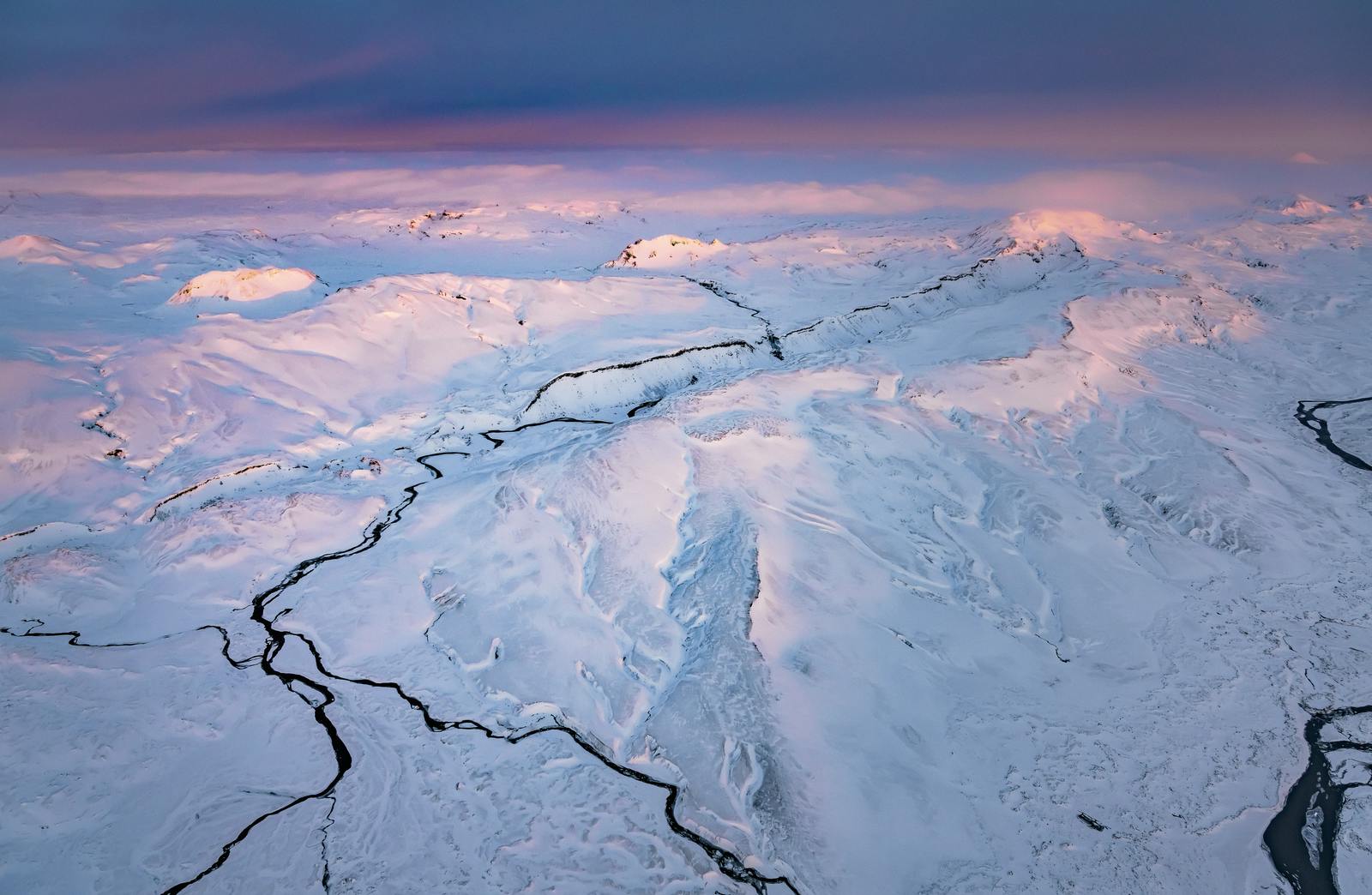
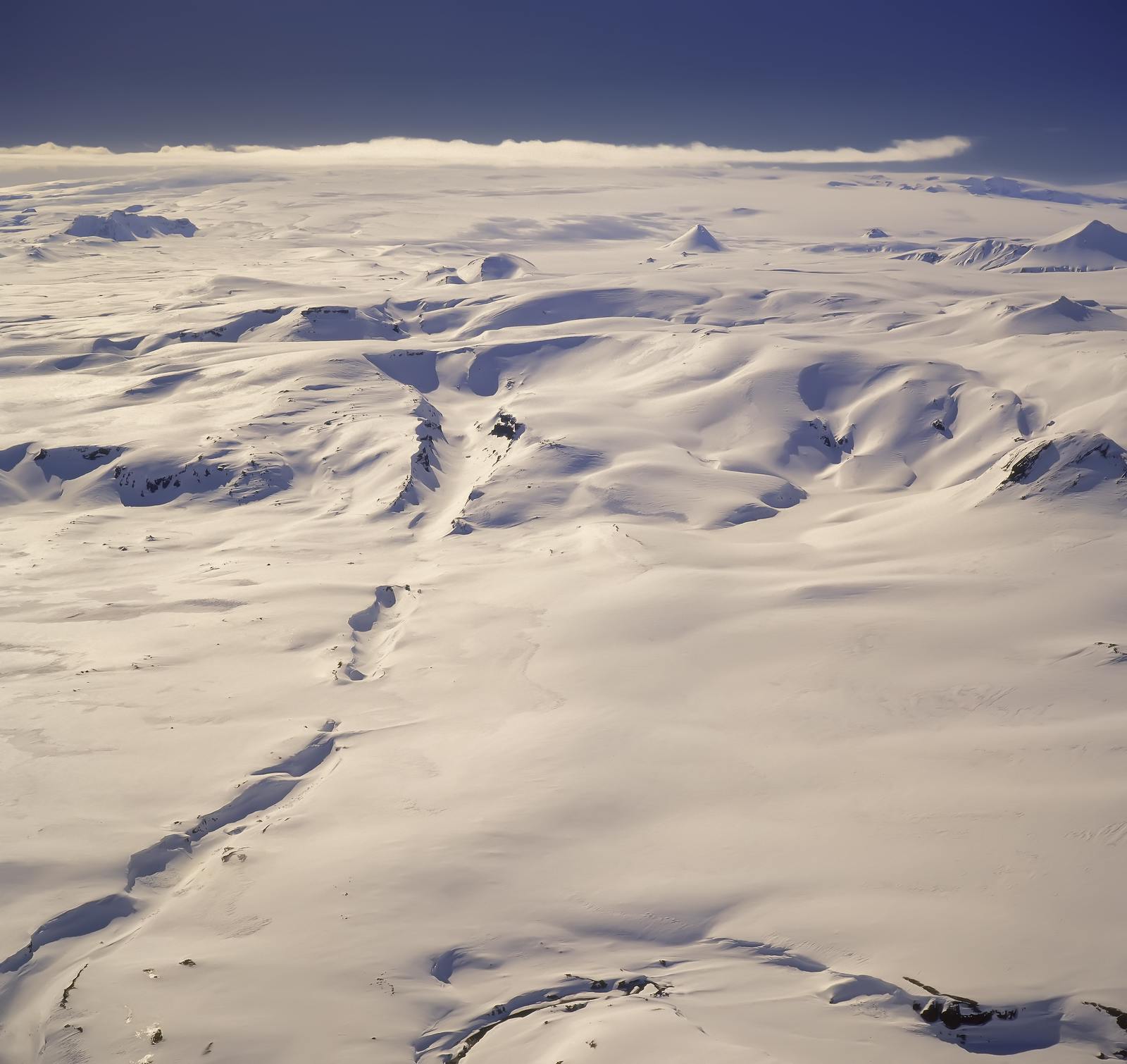
Where Is Eldgjá?
Eldgjá is a segment of a 60 kilometres (37 mi) long chain of volcanic craters and fissure vents, the Eldgjá Volcanic Chain, that extends northeast away from Mýrdalsjökull ice sheet almost to the Vatnajökull ice sheet.
Despite its size, the canyon wasn’t discovered until 1893, when Icelandic geologist Þorvaldur Þoroddsen came across it during an exploration of the highlands, giving it its name.
Today, Eldgjá is mostly visited by hikers, geologists, and travelers looking for a quiet getaway. There are no tour buses here. The few who make it are rewarded with space, silence, and views that stretch beyond the horizon. Expect chilly winds and sudden shifts in weather.
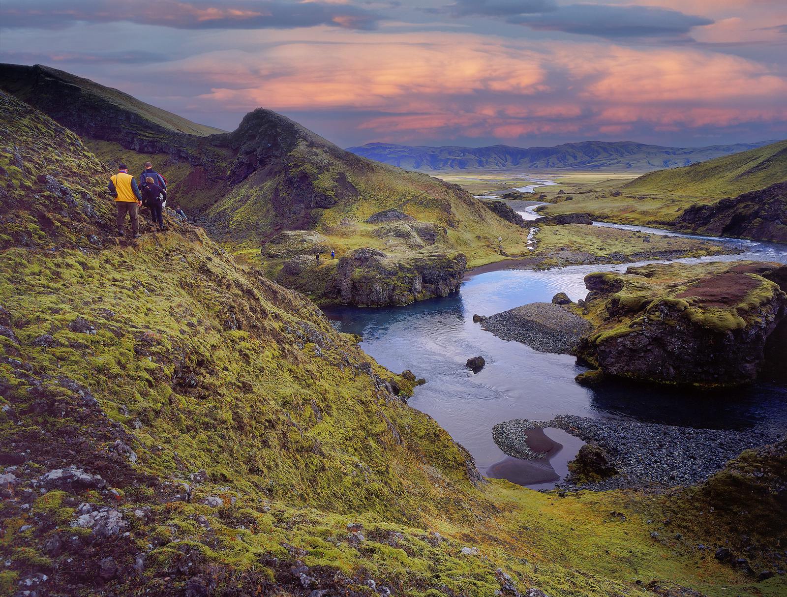
Ófærufoss (Eldgjá’s Waterfall)
One of Eldgjá’s most photographed features is Ófærufoss waterfall. Flowing in two tiers from the River Ófæra, it drops into the dark volcanic canyon below.
Until the 1990s, a natural rock arch stretched across the top of the falls, but it collapsed in a storm. Even without the arch, the waterfall remains a must-see on several local hiking routes.
Why Eldgjá Feels So Remote
At 800 meters (2,625 feet) above sea level, Eldgjá is hard to reach, and that’s part of its appeal. There are no tour buses here. No gift shops. Just raw nature.
To get there, you’ll need a 4x4 vehicle. The only road, Fjallabaksleið nyrðri, is only open in summer (usually mid-June to early September). The route winds through lava flows, black sand deserts, and mossy plateaus, crossing rivers and gravel tracks along the way.
Hike the Highlands
Eldgjá is perfect for hiking, whether you're a casual walker or an experienced trekker. There are three main hiking options:
- Gjátindur Trail (5 hours) – This moderately challenging loop takes you to the highest point in the area, offering sweeping views of the canyon and surrounding lava fields.
- Circular Trail (2 hours) – A shorter hike for those who want to explore without a big climb.
- Ófærufoss Trail (1.5 hours) – An easy hike that leads directly to the famous waterfall.
Shock and Awe
From several panoramic viewpoints, you can see how ancient lava fields, rivers, and glacial runoff have sculpted the terrain. The combination of dark basalt, rushing water, and distant ridgelines creates a landscape that feels untouched and elemental.
It’s easy to imagine the fear and awe of early settlers standing here, and you’re likely to feel the same awe today.
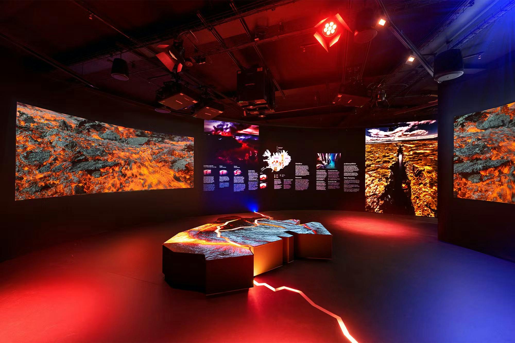
Learn More at Perlan
Planning a trip to Eldgjá or other volcanic regions in Iceland? Consider visiting the Perlan Museum in Reykjavik. Its immersive exhibits, interactive displays, including real eruption footage, provide useful context and help bring places like Eldgjá to life.
Frequently Asked Questions
What type of volcano is Eldgjá?
Eldgjá is a volcanic fissure, part of the Katla volcanic system. It's classified as a fissure eruption zone.
What does “Eldgjá” mean and how do you pronounce it?
“Eldgjá” means “fire canyon” in Icelandic. It’s pronounced “ELD-geow”, with the "gj" sounding like the "gy" in "guitar.”
Is Ófærufoss part of Eldgjá?
Yes, Ófærufoss waterfall is located within Eldgjá canyon and is a popular highlight for hikers and photographers.
Can I hike Eldgjá?
Yes, but the area is remote. Hiking trails are marked, but rugged. It’s best suited for experienced hikers with proper gear.
How high is Eldgjá?
Eldgjá sits at around 800 metres (2,625 feet) above sea level. Its canyon walls drop as deep as 270 metres (885 feet).
How do I get to Eldgjá?
You can access the canyon in a 4x4 vehicle via the F208 mountain road, which connects to the Ring Road or Landmannalaugar routes, but only in summer.
Popular articles
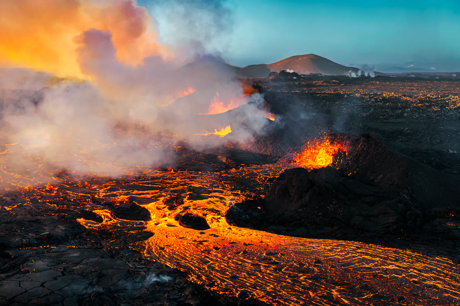
Let's Talk About the Volcano in Iceland About to Erupt
Is a volcano in Iceland about to erupt? Here’s what travelers should know about Svartsengi, Reykjanes activity, flights, safety, and the Blue Lagoon.
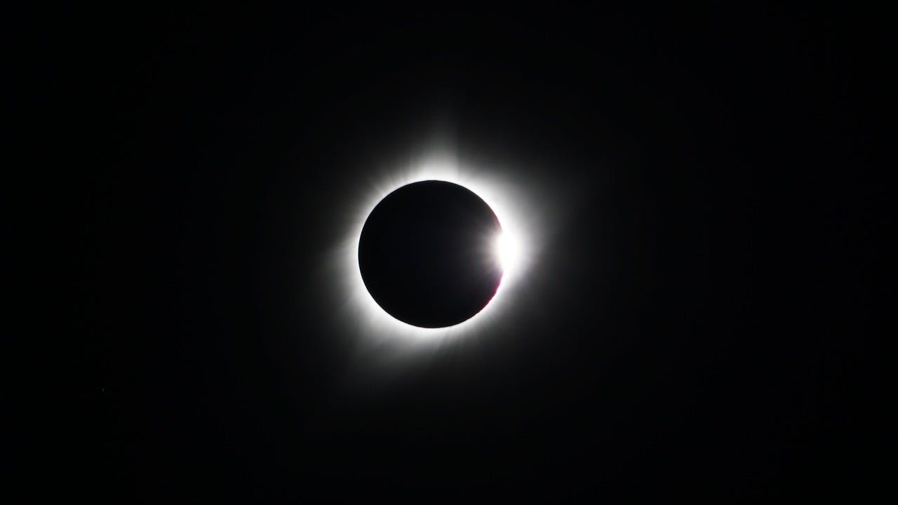
Guide to the Solar Eclipse 2026
Plan your trip to witness the Solar Eclipse 2026 in Iceland! Discover the best viewing spots, key times, safety tips, and travel advice for this rare celestial event.

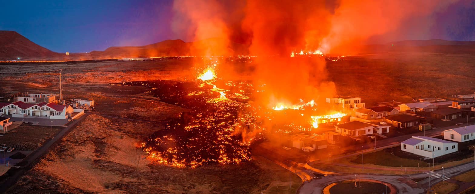
July 2026 updates on the Sundhnúkagígar Eruption in the Reykjanes Peninsula!
The current eruption in the Reykjanes Peninsula, is called Sundhnúkagígar Crater Row. See insights on the seismic activity and volcanic eruptions in the area!
Active Volcanoes in Iceland 2026
Active volcanoes aren't the same thing as active eruptions. A volcano can be considered active even when it is not ejecting ash, rock, gases and magma, so which are active in Iceland in 2026?

Top 10 Places To See the Northern Lights in Iceland
You can see the northern lights across the country, but some spots are more suitable than others. Find the best place to see the northern lights in Iceland.

Ice Caves From Reykjavik
Travel beyond the capital for a closer look at an ice cave under one of Iceland’s glaciers. If you can’t spare the time, experience Perlan’s ice cave in Reykjavik.