

Guide to Dyrhólaey Peninsula
Perched on Iceland's South Coast, Dyrhólaey Peninsula is a geological marvel defined by its iconic arch and ocean-carved rock formations. The 394-foot (120-meter) promontory promises unforgettable views, from the historic Dyrhólaey Lighthouse to the striking black basaltic landscapes home to vibrant birdlife.
What is Dyrhólaey?
Dyrhólaey, meaning “Door Hill Island” in Icelandic, is a striking promontory in Southern Iceland near the village of Vík. Like many surrounding attractions, the peninsula has volcanic origins, believed to have been forged by a subglacial eruption. Marine erosion created the area’s most iconic feature: the colossal Dyrhólaey Arch, which gave the promontory its name.
The area is also known for its staggering panoramas, including the black sand beaches, sea stacks, and the vast Atlantic. For centuries, Dyrhólaey was the most southern point of the Icelandic mainland, but during the Katla eruption in 1918, the new Katla peninsula (Kötlutangi) took over as the southernmost point.

How to Get to Dyrhólaey
From Reykjavík, the drive takes approximately 2.5 hours. From the village of Vík, the headland is only about a 20-minute drive west.
Drive along the Ring Road, then follow Road 218 until the lower parking lot at the end. From the lower lot, a steep, winding gravel road leads up to the upper parking lot near the lighthouse. A 4x4 vehicle is strongly recommended to drive this upper stretch. Those driving ordinary cars are advised to park in the lower lot and walk up. The walk only takes between 10 and 25 minutes, depending on speed and fitness level.
The Dyrhólaey Arch
Carved over millennia by powerful ocean waves, the Dyrhólaey Arch is the peninsula’s undisputed centrepiece. Rising on a cliff above the Atlantic, the arch is part of a basalt headland that dominates the coastline. When the Atlantic waters are calm, boats can even cruise through the natural doorway. In 1993, a small plane even flew through it!
Dyrhólaey Arch is a favourite subject of photographers. It’s especially striking during the fiery glow of sunset or beneath the dancing aurora during winter.

Dyrhólaey Lighthouse
At the top of the promontory lies Dyrhólaey Lighthouse (Dyrholaeyjarviti). A light station was established in 1910, with the current building completed in 1927. While the tower itself isn’t open to visitors, the grounds are accessible, and the lighthouse remains a popular photography subject. Dyrhólaey Lighthouse’s iconic white architecture, topped with a distinctive red lantern house, makes the lighthouse a picturesque landmark.
Wildlife at Dyrhólaey
Designated a nature reserve since 1978, Dyrhólaey is a sanctuary for coastal birds, including fulmars and eider ducks. The primary wildlife attraction is the Atlantic puffin, which uses the grassy clifftops for its nesting season from mid-May through August. Parts of the Dyrhólaey peninsula may be partially closed in late May and early June to protect the colonies. Bird activity is often higher in the early morning or late evening.
Best Time to Visit Dyrhólaey
The summer months (June through August) are generally the ideal time to visit Dyrhólaey. During these months, you have maximum daylight, milder weather, and a great chance of encountering nesting Atlantic puffins in Iceland. Many visitor services are fully operational in summer.
Visiting in winter offers the unique opportunity to photograph the rock arch under the ethereal glow of the Northern Lights. Just be aware: wintry weather, road closures, and limited daylight can make travel challenging.

Best Viewpoints & Photography Tips
Dyrhólaey is a photographer's dream, offering incredible views in every direction. The upper viewpoint by the Dyrhólaey Lighthouse is perfect for capturing the iconic arch, looking west down the black-sand coastline. Alternatively, visit the lower viewpoint for vistas of the towering Reynisdrangar sea stacks rising from the sea off Reynisfjara Beach. This area is also excellent for close-up views of Atlantic puffins in summer.
For the best pictures of Dyrhólaey, keep the following tips in mind:
- Best Light: Shoot during the golden hour to highlight the contrast between the black sand, white waves, and warm light on the arch.
- Weather Drama: Iceland's weather is an advantage. Heavy, dramatic clouds often add more mood and contrast to the black sand and white surf than a clear blue sky.
- Drone Rules: Drones are generally prohibited during the main nesting season (May to August) to prevent stress to the birds. Always check current regulations, as high winds often make flying unsafe.
Features & Natural Attractions Around Dyrhólaey
Dyrhólaey is a gateway to the South Coast’s most dramatic landscapes. Within a short distance, visitors can explore a multitude of geologic and natural wonders.
Reynisfjara Beach
Reynisfjara Beach is one of Iceland’s stunning black sand beaches, instantly recognisable for its dark shores and rock formations. From the lofty Dyrhólaey promontory, you can enjoy a breathtaking panorama eastward over this coastline. If you’d like to experience the beach up close, Reynisfjara lies only a 10–15 minute drive from Dyrhólaey. Ensure to follow the safety guidelines when visiting, as this location is notorious for sneaker waves.
Reynisdrangar Sea Stacks
These striking basalt columns rise dramatically from the ocean just off Reynisfjara Beach. Geologically, they are remnants of an eroded headland. Local folklore says there are two trolls frozen in stone by the morning sun while attempting to drag a three-masted ship ashore.
Myrdalsjökull Glacier & Katla Volcano
Looking directly inland from Dyrhólaey, the massive, white expanse of the Mýrdalsjökull ice cap dominates the horizon. This is Iceland's fourth-largest glacier, and beneath its ice lies the caldera of the historically notorious Katla Volcano.
To better comprehend the deep connection between Iceland's fire and ice, journey to Reykjavík's Perlan Museum. Here, the Forces of Nature exhibition allows you to see, hear, and feel the power of volcanoes, earthquakes, and geothermal energy.

Nearby Towns and Services
The south coast of Iceland is dotted with charming towns with local attractions and convenient services for travellers.
- Vík: The southernmost village in Iceland, known for its proximity to the stunning Reynisfjara Beach and Dyrhólaey Arch.
- Hvolsvollur: A small town situated close to the infamous Eyjafjallajökull volcano and the Lava Centre museum.
- Selfoss: The largest town in southern Iceland, acting as a major service and trade centre.
Practical & Safety Travel Tips
- Maintain a Safe Distance from Cliff Edges: The cliffs are exposed, and the winds can be extremely strong and unpredictable; never venture too close to the edge and supervise children closely.
- Check for Seasonal Closures: Be aware that access to the upper area is often restricted, usually overnight (7 pm to 9 am) from mid-May through June to protect nesting puffins.
- Dress in Layers: The weather at the cape can change rapidly and be very cold, even in summer. Wear warm, windproof, and waterproof outer layers.
- Facilities and Parking: There are two main parking areas (upper near the lighthouse and lower near the beach). Facilities are very limited; there is no food or drink available, so bring your own snacks and water. Basic restrooms are available.
- Wear Sturdy Footwear: Trails can be uneven, rocky, and slippery, so wear sturdy, waterproof hiking boots with good grip.
Dyrhólaey, a postcard-pretty promontory in southern Iceland, is famed for its giant sea arch and historic lighthouse. Beyond panoramic views of black sand beaches, it is a vital nature reserve for Atlantic puffins in summer. The peninsula truly showcases the raw, dramatic beauty of the Icelandic coast.

FAQs About Visiting Dyrhólaey
How long to spend at Dyrhólaey?
1 to 2 hours is typically enough to explore the viewpoints.
Are there puffins in Dyrhólaey?
Yes, Atlantic puffins nest on the cliffs from roughly mid-May through August.
Can you drive up to Dyrhólaey?
Yes, there are two parking areas (upper and lower), but a 4x4 is recommended for the steep upper road.
What to see at Dyrhólaey?
The iconic sea arch, the lighthouse, panoramic views of the black sand beaches (like Reynisfjara), and puffins (in summer).
What is the best time to visit Dyrhólaey?
Summer (June-August) offers the best weather and the chance to see puffins.
Popular articles
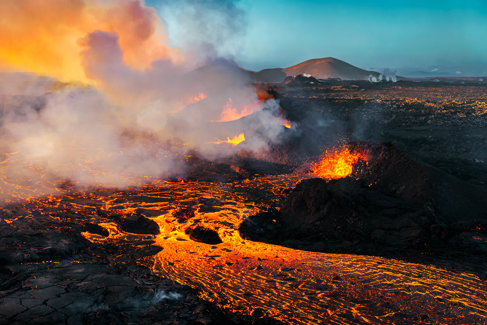
Let's Talk About the Volcano in Iceland About to Erupt
Is a volcano in Iceland about to erupt? Here’s what travelers should know about Svartsengi, Reykjanes activity, flights, safety, and the Blue Lagoon.
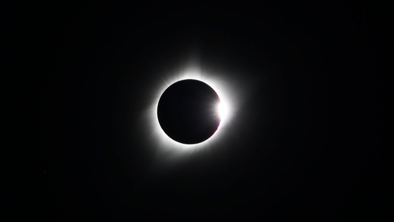
Guide to the Solar Eclipse 2026
Plan your trip to witness the Solar Eclipse 2026 in Iceland! Discover the best viewing spots, key times, safety tips, and travel advice for this rare celestial event.

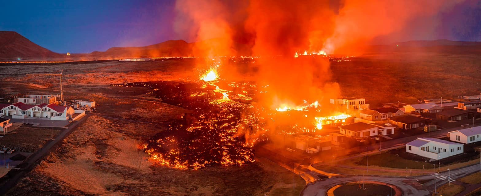
July 2026 updates on the Sundhnúkagígar Eruption in the Reykjanes Peninsula!
The current eruption in the Reykjanes Peninsula, is called Sundhnúkagígar Crater Row. See insights on the seismic activity and volcanic eruptions in the area!
Active Volcanoes in Iceland 2026
Active volcanoes aren't the same thing as active eruptions. A volcano can be considered active even when it is not ejecting ash, rock, gases and magma, so which are active in Iceland in 2026?

Top 10 Places To See the Northern Lights in Iceland
You can see the northern lights across the country, but some spots are more suitable than others. Find the best place to see the northern lights in Iceland.

Ice Caves From Reykjavik
Travel beyond the capital for a closer look at an ice cave under one of Iceland’s glaciers. If you can’t spare the time, experience Perlan’s ice cave in Reykjavik.