Guide to Brúarfoss Waterfall in Iceland
Brúarfoss, often referred to as Iceland's "hidden gem," is a stunning waterfall nestled in the picturesque landscape of southwestern Iceland. It is located just off of the Golden Circle route, a popular tourist route in Iceland. Unlike its more famous counterparts like Gullfoss or Seljalandsfoss, Brúarfoss remains somewhat off the beaten path, requiring a short hike and a bit of exploration to reach its captivating beauty.
Located near the town of Laugarvatn, Brúarfoss is fed by the Brúará River, one of Iceland's largest spring-fed rivers. The river originates in productive, sparkling springs from underneath a huge lava field east of the river. The name Brúarfoss translates to "Bridge Fall," a fitting moniker given the picturesque footbridge that spans the river just upstream from the falls, adding a unique and charming element to the scenery.
Iceland’s bluest waterfall
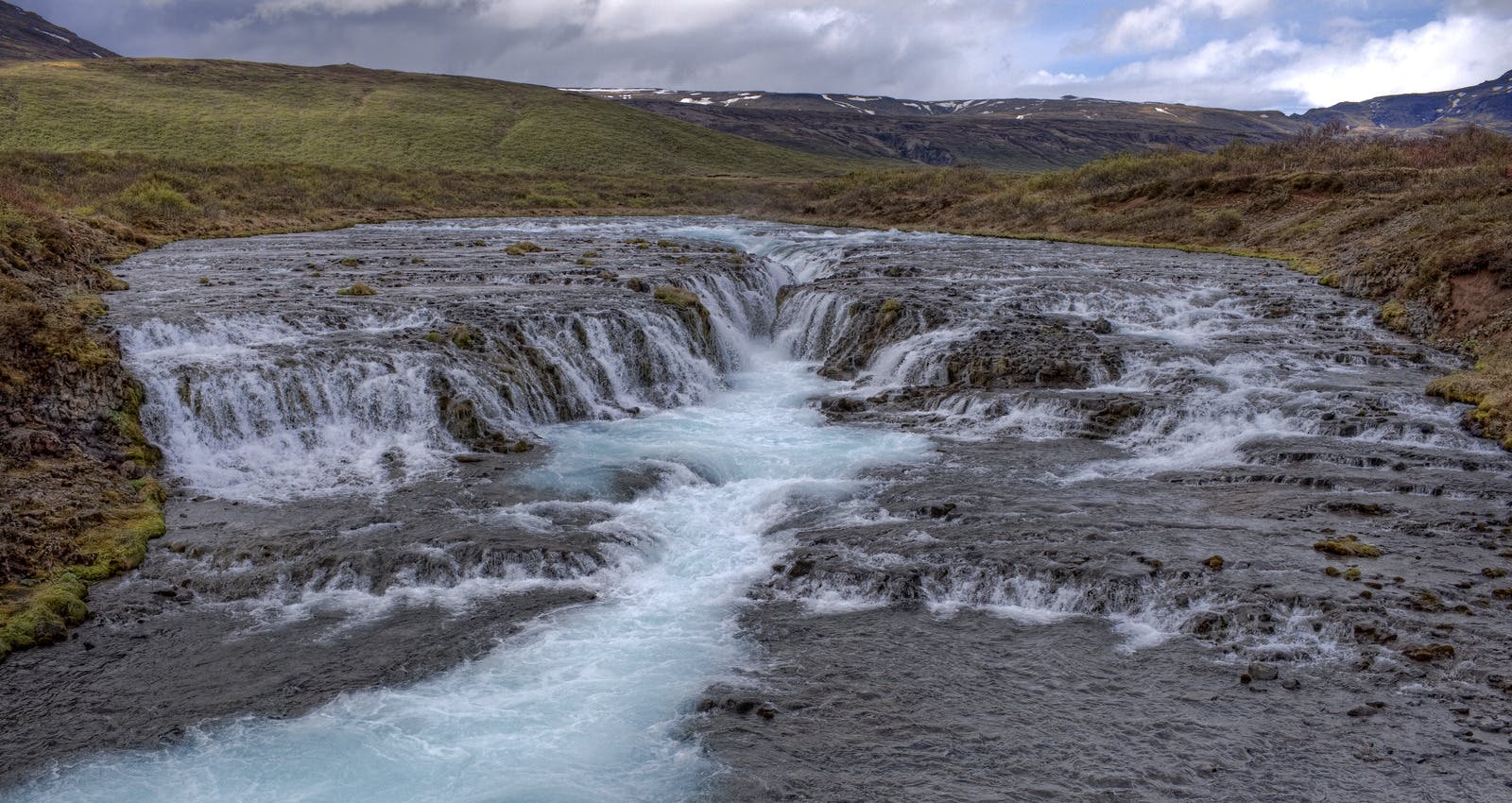
The colour of the waterfall contributes to the nickname of Brúarfoss: Iceland's bluest waterfall. In Perlan, Reykjavík, you can learn more about the significance of water in Icelandic nature. Brúarfoss is a result of a melting glacier, like many other waterfalls in Iceland. In Perlan's exhibition on Glaciers and Ice Caves, you can dive deeper into the importance of these for the island.
History of Brúarfoss Waterfalls

Brúarfoss, translating to "Bridge Waterfall," earned its name from a historical connection to a natural stone arch that once served as a bridge. This arch, unfortunately, collapsed in the 15th or 16th century. In response to this natural event, a new bridge was erected in the early 20th century.
An Icelandic legend recounts a darker chapter in Brúarfoss's history. Allegedly, in 1602, a follower of the Skálholt Episcopal Church deliberately destroyed the natural stone arch. The motive behind this act is said to be linked to a severe famine gripping Iceland during that period. The belief is that, by demolishing the bridge, access to the fertile fields beyond was blocked, preventing starving peasants from reaching sustenance during difficult times.
Accessibility of Brúarfoss
As of spring 2023, accessing these falls has become significantly more convenient. Previously, a round-trip hike of approximately 7 kilometres (4.4 miles) was necessary. Now, you can nearly drive all the way to the falls, requiring only a short walk from the parking area.
The new parking lot is labelled 'Brúarfoss Parking' on Google Maps. There is a parking fee of 750 ISK for a standard vehicle. From this new parking area, it is only a 5-minute walk to get to the waterfall.
The second parking area, the "old" hiking route, can be found on Google Maps as 'Brúarfoss Trail - Parking'. This parking area was free of charge at the time of writing this article.
Hiking To Brúarfoss

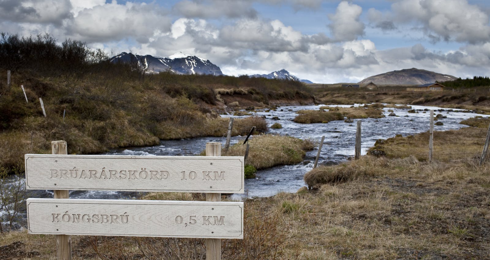
If you are keen on embarking on the hiking trail to Brúarfoss, you will be rewarded with beautiful nature and two additional waterfalls! Brúarfoss is located 3.5 kilometres (2.2 miles) from the Brúarfoss Trail parking lot, and the hike takes about one hour each way.
Start your journey from the parking lot by heading north on the broad gravel path. Continue straight to take a convenient shortcut across the small peninsula situated within the bend of the Brúará River. Be cautious not to veer off onto the leftward secondary path, which runs parallel to the river. Although it eventually leads to the waterfall, opting for this route will extend both the time and distance of your hike.
As the trail reconnects with the Brúará River, it gradually narrows, leading you on a gently sloping ascent towards Brúarfoss. Along this portion of the hike, you'll find yourself traversing a dense forest of small trees. However, the majority of the trail will guide you along a narrow path adjacent to the river.
In the event of wet or rainy conditions, be prepared for muddy terrain. Stay on the designated trail to minimise environmental impact, or consider postponing your visit for a drier day, if feasible.
Throughout the trek, you will encounter two smaller waterfalls. Hlauptungufoss marks the halfway point to Brúarfoss, while a brief stroll beyond brings you to Miðfoss. Finally, after a bit more walking, you will reach the captivating Brúarfoss. A wooden bridge spans the river at this point, providing an excellent vantage for capturing memorable photographs.
Photographers Dream
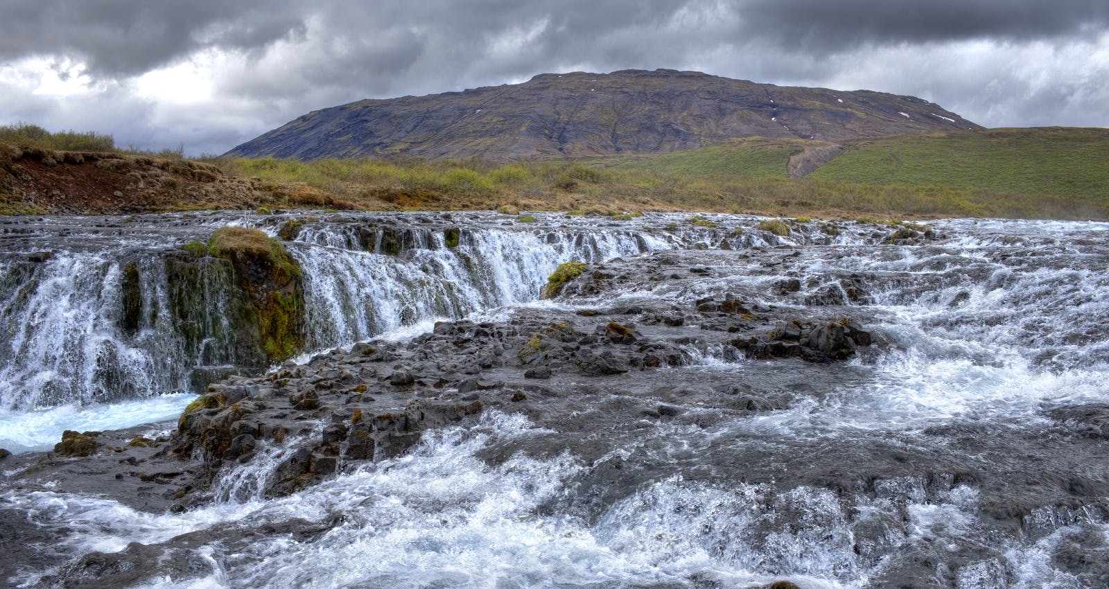
Upon reaching Brúarfoss, visitors are rewarded with a breathtaking sight. The waterfall cascades over a series of rocky ledges, creating a captivating display of water rushing through the rugged terrain. The turquoise colour intensifies as the water plunges into a deep, narrow gorge surrounded by vibrant green vegetation. The setting is serene and relatively untouched, offering a sense of solitude and connection with nature.
Photographers and nature enthusiasts are particularly drawn to Brúarfoss for its photogenic qualities. The juxtaposition of the vibrant blue water against the dark volcanic rocks and lush greenery provides ample opportunities for capturing unique and memorable images.
How To Get to Brúarfoss From Reykjavík
Brúarfoss is located right off the Golden Circle route in southwest Iceland. It is about 90 kilometres (56 miles) from Reykjavík, taking approximately 1.5 hours to drive under normal road conditions.
- Head east on Route 1 (the Ring Road) from Reykjavík.
- Continue on Route 1 until you reach the turnoff for Route 37 (Þingvallavegur) towards Þingvellir National Park.
- Follow Route 37 until you reach the turnoff for Route 361.
- Take Route 361 until you get to Laugarvatn.
- From Laugarvatn, continue on Road 37.
- Look for the turnoff for Road 355 (Snorrastaðavegur).
- Follow Road 355 until you reach the parking area.
Brúarfoss Waterfall FAQ
How Long Does It Take To See Brúarfoss?
You can visit Brúarfoss in about 30 minutes, including time for taking pictures by using the new parking lot.
How Long Is The Hike To Brúarfoss?
If you wish to embark on the hike to Brúarfoss, the round trip is 7 kilometres (4.4 miles).
What Is The Bluest Waterfall In Iceland?
The bluest waterfall in Iceland is Brúarfoss. The colour is caused by crystal clear groundwater flowing from springs that are related to a large lava field.


